


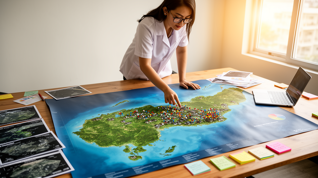
In a small coastal municipality in the Philippines, researchers have combined two datasets that local governments usually keep apart: confirmed COVID-19 case counts and maps of ten different natural hazards. The result is a barangay-level priority ranking for Lemery, Batangas, a town of 46 villages sitting within the broader Taal volcanic region, where earthquake, landslide, flood, storm-surge, tsunami, and volcanic threats can all coincide. The study, published in Frontiers in Earth Science, demonstrates how a relatively simple geographic information system (GIS) technique can turn scattered agency records into a transparent, reproducible shortlist for local preparedness planning.
The research team, led by Jovito P. Permante of Batangas State University – The National Engineering University, together with Erwin Rafael Cabral and Florina Padilla-Santiago, applied what is known as sieve mapping, a weighted overlay approach executed entirely in the open-source desktop GIS package QGIS. Their decision premise was deliberately pragmatic: villages that simultaneously record high absolute COVID-19 case counts and substantial mapped natural-hazard exposure may warrant earlier integrated preparedness attention than villages that score highly on only one of these domains. Crucially, the authors frame this as a hypothesis about co-location and prioritization, not a claim that the coronavirus and natural hazards interact biologically or contribute equally to disaster losses.
The technical workflow proceeded in six sequential steps. First, the team assembled a municipal boundary shapefile covering all 46 barangays, municipal records of 2,505 confirmed COVID-19 cases, and ten natural-hazard layers obtained from the Batangas Provincial Government and the Department of Science and Technology–Philippine Institute of Volcanology and Seismology (DOST-PHIVOLCS). The hazard set spanned ground shaking, earthquake-induced and rain-induced landslides, storm surge, flood, tsunami, liquefaction, Taal Volcano base surge, Taal fissure, and volcanic tsunami. Because these layers expressed severity in incompatible ways, from Philippine Earthquake Intensity Scale classes to ordinal flood-depth categories to simple binary susceptibility classes, each category was converted into a common ordinal score.
A distinctive feature of the method was its area-sensitive treatment of hazard coverage. When a barangay contained more than one severity category for a given hazard, each category score was multiplied by the proportion of barangay area that it covered, and the contributions were summed. This retains information about both mapped severity and spatial extent, rather than assigning a single dominant class to an entire polygon. The authors are careful to note, however, that this measures areal exposure, not population exposure. A hazard zone covering a large fraction of a village may contain few residents, while a smaller zone may include most homes, schools, or critical facilities.
Aggregation followed a deterministic weighted-sum formula. The COVID-19 component for each barangay was scaled relative to the highest observed barangay count and multiplied by 100, and the health domain received 50 percent of the decision weight. The natural-hazard domain received the remaining 50 percent, distributed as follows: ground shaking, storm surge, and flood each carried 10 percent; earthquake-induced and rain-induced landslides 5 percent each; and tsunami, liquefaction, base surge, fissure, and volcanic tsunami 2 percent each. The equal 50/50 split is explicitly an a priori screening scenario, chosen to prevent either domain from dominating by design, and the authors stress that it does not imply equal contributions to expected mortality or economic loss. The hazard coefficients reflect locally reported frequency information rather than probabilistic loss estimates.
The results reveal why multi-layer screening matters. Bukal recorded the largest absolute number of confirmed COVID-19 cases, with 125, followed by Mataas Na Bayan with 116, Matingain I with 115, Wawa Ibaba with 108, Ayao-Iyao with 108, and Dayapan with 105. Yet when the natural-hazard components were added, Bukal ranked only 10th in the composite score. The five highest-priority barangays were District IV, Wawa Ibaba, Palanas, Mataas Na Bayan, and Sambal Ilaya. District IV, for example, combined high ground-shaking and earthquake-induced landslide categories with storm-surge, flood, tsunami, liquefaction, base-surge, fissure, and volcanic-tsunami exposure, alongside 99 recorded cases.
The gap between the disease-only ranking and the composite ranking illustrates what the output actually represents. A single COVID-19 layer would place Bukal first; the combined rubric instead identifies where recorded case counts and mapped hazard exposure accumulate most strongly under the specified decision rule. The authors emphasize that this answers a different planning question from either disease mapping or single-hazard mapping, and that the ranking is a relative planning priority under one transparent scoring scenario, not evidence of infection probability or calibrated disaster risk. Terms such as
The choice of the barangay as the analytical unit deserves particular attention, because it shapes what the resulting ranking can and cannot mean. Barangays are the smallest administrative divisions in the Philippine local government system, and they are the units through which municipal planning, emergency response, and health-service delivery are typically organized. By joining both the COVID-19 case records and the hazard layers to a single municipal boundary shapefile, the researchers ensured that information originating from different agencies could be summarized within comparable polygons. This is a practical necessity for multicriteria aggregation, but it also means that the analysis inherits the resolution limits of administrative geography: variations within a barangay, such as differences in building construction, evacuation access, or household density, are invisible at this scale.
The ten hazard layers themselves reflect the unusual geographic position of Lemery within the Taal volcanic region. Several of the hazards considered, including base surge, fissuring, and volcanic tsunami, are specifically associated with caldera volcanism and lake environments rather than with the more commonly mapped fluvial flood and coastal surge processes. Others, such as liquefaction and ground shaking, depend on subsurface conditions that can vary sharply over short distances. Because each hazard is generated by a different physical process and represented in a different data model, the study had to normalize them into a common ordinal scheme before any comparison was possible. This conversion step, while transparent, is also where interpretive judgment enters the workflow, since the mapping from qualitative hazard classes to numeric scores is a methodological choice rather than a measurement.
The area-adjustment procedure addresses a common pitfall in overlay analysis. If a hazard class covering only a small sliver of a barangay were counted with the same weight as one covering nearly the whole village, the composite score could be distorted by cartographic artifacts or boundary effects. Multiplying each category score by the proportion of barangay area affected preserves the spatial extent of exposure within the polygon. The authors nonetheless caution that areal coverage is not the same as population exposure, a distinction that matters greatly in practice: a hazard zone may blanket a large but sparsely settled portion of a village, while homes, schools, and critical facilities cluster in a smaller, more vulnerable pocket.
The weighting scheme also merits scrutiny. Assigning 50 percent of the decision weight to the health domain and 50 percent to the natural-hazard domain was an a priori choice designed to prevent either concern from dominating by construction. Within the hazard domain, the coefficients were distributed according to locally reported frequency information, giving ground shaking, storm surge, and flood 10 percent each, the two landslide types 5 percent each, and the remaining five hazards 2 percent each. These weights encode qualitative judgments about how often each hazard is expected to affect the municipality, not probabilistic estimates of loss. The additive combining rule then simply sums the scaled health component and the weighted, area-adjusted hazard scores, without modelling any interaction or joint probability between hazards or between hazards and disease.
The divergence between the disease-only and composite rankings illustrates the value of the combined view. Bukal led the municipality in absolute confirmed COVID-19 cases with 125, yet placed only tenth once hazard exposure entered the calculation. Conversely, barangays such as District IV and Sambal Ilaya rose in the composite ranking because they combined meaningful case counts with exposure to multiple hazards, including several of the volcanic and coastal threats specific to the Taal region. This kind of reordering is precisely what multi-risk assessments are intended to reveal: concentrations of concern that remain hidden when hazards and health data are examined separately.
The authors are explicit that the output is a relative planning priority under one transparent scoring scenario, not an estimate of infection risk or calibrated disaster risk. Raw case counts are not population-normalized incidence, and the study does not model disease dynamics, mobility, or health-system capacity. Similarly, the hazard scores describe mapped susceptibility and severity classes rather than expected losses. The ranking therefore answers a first-stage screening question: where should integrated preparedness attention, field validation, and resource planning begin?
The researchers outline several directions for strengthening future analyses. Population normalization would convert absolute case counts into incidence measures, allowing comparisons across barangays of different sizes. Sensitivity analysis would test how the ranking responds to alternative weights and scoring rules, addressing the known conditionality of composite indices. Adding vulnerability and exposure indicators, such as building stock, demographics, and critical facilities, would move the assessment closer to a genuine risk framework. Modelling hazard interactions, for example the way earthquakes can trigger landslides, and adopting finer-resolution spatial data would further refine the picture. Until such refinements are made, the study stands as a demonstration that routinely available agency datasets, standard GIS operations, and explicit assumptions can be combined into a defensible starting point for local multi-hazard and public-health planning.
Subject of Research: GIS-based spatial prioritization of overlapping natural-hazard exposure and COVID-19 case counts in Lemery, Batangas, Philippines
Article Title: GIS-based spatial prioritization of natural-hazard exposure and recorded COVID-19 case counts in Lemery, Batangas, Philippines
Article References: GIS-based spatial prioritization of natural-hazard exposure and recorded COVID-19 case counts in Lemery, Batangas, Philippines. (n.d.). https://doi.org/10.3389/feart.2026.1970276
Image Credits: AI Generated
DOI: 10.3389/feart.2026.1970276
Keywords: GIS, multi-hazard mapping, COVID-19, spatial prioritization, QGIS, Lemery Batangas, Taal volcano, disaster risk reduction, sieve mapping, barangay-level analysis, weighted overlay, geoinformatics
Cite Scienmag News
Violet Maxwell. (October 16, 2026). Map Overlays Reveal Which Philippine Villages Face a Double Threat of COVID-19 and Natural Hazards. Scienmag. https://scienmag.com/map-overlays-reveal-which-philippine-villages-face-a-double-threat-of-covid-19-and-natural-hazards/
Violet Maxwell. "Map Overlays Reveal Which Philippine Villages Face a Double Threat of COVID-19 and Natural Hazards." Scienmag, 16 October 2026, https://scienmag.com/map-overlays-reveal-which-philippine-villages-face-a-double-threat-of-covid-19-and-natural-hazards/. Accessed 16 October 2026.
Violet Maxwell. "Map Overlays Reveal Which Philippine Villages Face a Double Threat of COVID-19 and Natural Hazards." Scienmag. October 16, 2026. https://scienmag.com/map-overlays-reveal-which-philippine-villages-face-a-double-threat-of-covid-19-and-natural-hazards/


