


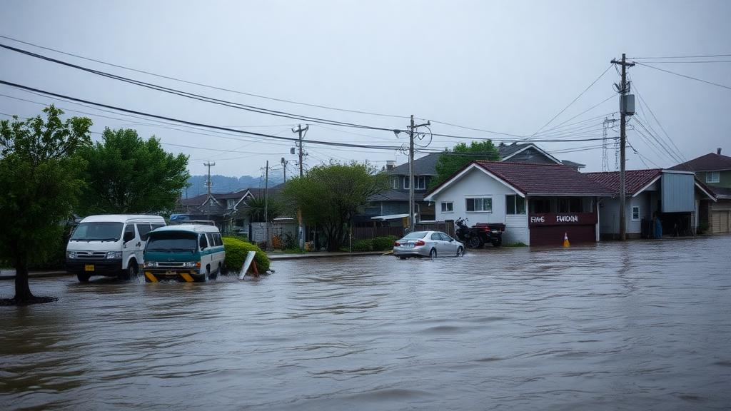
When Typhoon Hagibis slammed into central Japan in October 2019, it delivered some of the most destructive flooding the country had ever recorded. Official statistics from the Ministry of Land, Infrastructure, Transport and Tourism put the total damage at 1,880 billion Japanese yen, including 1,422 billion yen in losses to general assets, the highest figure since record-keeping began. Eighty-four people died, three went missing, and 81,619 buildings were destroyed or damaged. Now a new study has asked a deceptively simple question: what if the storm had arrived just slightly to the east or west of where it actually did? The answer, published in Communications Earth & Environment, is that a shift of a fraction of a degree in longitude could have changed the national flood bill by tens of billions of yen, and in the worst case by nearly a trillion.
The research team, led by Xiaoyang Li of the University of Tokyo’s Institute of Industrial Science together with Kei Yoshimura and Hironori Fudeyasu of Yokohama National University, built a national-scale impact-based flood-damage assessment framework around the Integrated Land Simulator, or ILS. This platform couples two established models: MATSIRO, a physical land surface model that handles soil, canopy, and runoff processes, and CaMa-Flood, a hydrodynamic river routing model that simulates floodplain inundation using the Stabilized Local Inertial Equation, an adaptive time step scheme, and an explicit levee and reservoir scheme. The modeling chain was anchored in high-resolution topography from the MERIT digital elevation model, allowing inundation depths computed at roughly 1.5-kilometer resolution to be downscaled to about 30 meters, fine enough to resolve individual buildings and neighborhoods.
The atmospheric side of the experiment relied on the Weather Research and Forecasting Model, version 4.3.3, run in a one-way nested configuration with an outer domain at 15-kilometer resolution and an inner domain at 5 kilometers, both covering the Japanese archipelago and surrounding seas with 48 vertical layers. Initial and boundary conditions came from the Japanese 55-year Reanalysis, and the physics suite included the RRTMG radiation schemes, the WSM6 cloud microphysics parameterization, the Kain-Fritsch cumulus scheme, and the Yonsei University planetary boundary layer scheme. The crucial twist was the perturbation method: the researchers systematically shifted the reanalysis fields longitudinally in increments of 0.2 degrees, spanning 11 degrees westward to 5 degrees eastward. In total, 81 plausible versions of Typhoon Hagibis were simulated, each following a slightly different east-west path across Japan.
Before running these scenarios, the team validated the control simulation against observations. The WRF control run reproduced the spatial distribution and intensity of accumulated rainfall recorded by the Japan Meteorological Agency’s radar network during the storm’s passage, with heavy rainfall concentrated in central Japan and along the Pacific coast, exactly as observed. Downstream, the ILS control simulation matched observed maximum river discharge and river water levels from the ministry’s gauging network remarkably well, with correlation coefficients of 0.90 for discharge and 0.80 for water level. The validation also revealed something important: even the small westward and eastward biases in the simulated storm track produced corresponding shifts in simulated rainfall and river response, a first hint of how sensitive the entire flood system is to the precise position of the typhoon.
The headline finding is stark. A longitudinal shift of just 0.2 degrees, roughly 20 kilometers at Japan’s latitude, produced an average difference in total flood damage of 83.3 billion yen between adjacent scenarios. The response was highly nonlinear. In one dramatic case, moving the storm from the w012 to the w014 scenario, a shift of only 0.2 degrees westward, increased national damage by 956.8 billion yen, because the altered track steered intense rainfall and severe inundation directly onto the densely populated Osaka and Nagoya metropolitan areas. Across the full ensemble, total damage generally rose as the storm moved eastward from the far-west scenarios, with two pronounced peaks: 1,966.3 billion yen in the e010 simulation and 1,522.6 billion yen in the w014 simulation, after which damage fell off rapidly.
The geography of worst-case tracks differs sharply by region, and that is where the study becomes a planning tool rather than a curiosity. The single most damaging scenario for Japan as a whole, e010, placed the typhoon’s landfall over the Kanto Plain rather than the mountainous interior, unleashing intense rainfall and widespread inundation across greater Tokyo, the country’s most populous metropolitan area. In that scenario, Kanto alone suffered 1,571.7 billion yen in damage. For the Kinki region around Osaka, the worst track was w016, producing 911.4 billion yen, while for Chubu around Nagoya it was w004, producing 642.2 billion yen. In the control run, total damage reached about 1,181.1 billion yen, with 724.1 billion yen concentrated in Kanto. A modest 0.2-degree westward shift cut the national total to 897.9 billion yen but multiplied Kinki’s damage more than eightyfold, from 9.3 billion to 752.5 billion yen, as the rainfall belt migrated toward Osaka, Chugoku, and Shikoku.
Most of the simulated damage, like most of the real damage, occurred in floodplain areas along the Pacific coast of Kanto, Chubu, Kinki, Shikoku, and Tohoku, with Kyushu’s damage concentrated instead along the Japan Sea coast. This pattern reflects the fact that 96.8 percent of Hagibis’s actual flood damage came from inland river overflows rather than coastal storm surge, which justified the study’s focus on riverine flooding. Because these floodplains coincide with Japan’s highest population densities, the authors argue that enhanced flood protection infrastructure and impact-based early warning systems are urgently needed there. The framework also quantified the value of hard infrastructure: in levee-height sensitivity experiments ranging from a 20 percent decrease to a 20 percent increase, total damage fell from 1,189.1 billion yen to 1,152.9 billion yen, an average reduction of about 9.1 billion yen for every 10 percent increase in levee height.
Technically, the damage estimates were built from the ground up. Building areas came from the global three-dimensional building footprint dataset, and asset values per unit floor area were drawn from Japan’s 2018 Housing and Land Survey, set at 37.05 thousand yen per square meter for structural assets and 91.78 thousand yen per square meter for contents. Downscaled inundation depths were converted into damage rates using the empirical depth-damage relationships in the ministry’s Manual for Economic Evaluation of Flood Control Investment. The authors are careful to note the limits: land values and indirect losses such as supply-chain disruptions, business interruptions, and long-term recovery costs were excluded, so the figures represent a lower bound on the true economic impact. The study is also explicitly retrospective and scenario-based, not an operational real-time forecasting system for evacuation decisions.
Even so, the implications reach well beyond one storm. The researchers point out that forecast errors of a similar magnitude actually occurred with Hagibis, with a notable westward bias in track forecasts roughly three days before landfall, meaning the kind of uncertainty explored here is not hypothetical. As the climate warms and the hydrological cycle accelerates, extreme rainfall events across East Asia are expected to intensify, while aging populations in Japan, China, and South Korea make evacuation harder; 77 percent of Hagibis’s victims, 67 of 87 people, were aged 60 or older. By translating small meteorological uncertainties into concrete yen-denominated damage figures for specific regions and cities, the framework gives decision-makers a way to weigh investments in levees, warning systems, and preparedness against the plausible worst cases. It also fills a genuine gap: national-scale impact-based flood forecasting has been demonstrated in East Africa and the Philippines, but never before in East Asia, and the authors suggest this integrated approach of atmospheric modeling, hydrological simulation, and socioeconomic exposure data could become a template for flood-risk management across the region.
Subject of Research: Sensitivity of national-scale flood damage in Japan to typhoon-track shifts and levee height during Typhoon Hagibis (2019)
Article Title: Impact-based flood-damage assessment in Japan under longitudinal typhoon-track perturbations and levee-height variations during Hagibis (2019)
Article References: Impact-based flood-damage assessment in Japan under longitudinal typhoon-track perturbations and levee-height variations during Hagibis (2019). (n.d.). https://doi.org/10.1038/s43247-026-04077-8
Image Credits: AI Generated
DOI: 10.1038/s43247-026-04077-8
Keywords: Typhoon Hagibis, flood damage, Japan, typhoon track, levees, impact-based forecasting, hydrology, inundation modeling, WRF, disaster risk, Kanto, climate extremes
Cite Scienmag News
Violet Maxwell. (October 13, 2026). Tiny Typhoon Track Shifts Could Swing Japan’s Flood Bill by Billions. Scienmag. https://scienmag.com/tiny-typhoon-track-shifts-could-swing-japans-flood-bill-by-billions/
Violet Maxwell. "Tiny Typhoon Track Shifts Could Swing Japan’s Flood Bill by Billions." Scienmag, 13 October 2026, https://scienmag.com/tiny-typhoon-track-shifts-could-swing-japans-flood-bill-by-billions/. Accessed 13 October 2026.
Violet Maxwell. "Tiny Typhoon Track Shifts Could Swing Japan’s Flood Bill by Billions." Scienmag. October 13, 2026. https://scienmag.com/tiny-typhoon-track-shifts-could-swing-japans-flood-bill-by-billions/


