


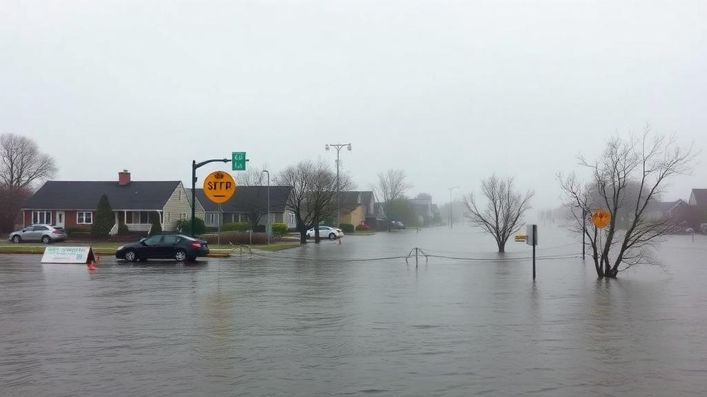
A hurricane does not need to score a direct hit on the Chesapeake Bay to leave its mark. Even a tropical cyclone churning hundreds of miles offshore can push wind, waves, and elevated tides into the estuary, producing flooding that catches coastal communities off guard. How much the water actually rises, however, depends on a tangled web of interacting variables: the storm’s intensity, size, and forward speed; the geometry of the shoreline; the phase of the tide when the surge arrives; and, increasingly, the slowly rising baseline of the sea itself. Now, a team of researchers at Virginia Tech has built one of the most detailed pictures yet of how this fragile estuary might respond to future hurricanes, and their findings suggest that the same storm could play out very differently by midcentury than it would today.
The study, published in the journal Earth’s Future, was led by Md Shadman Sakib, a doctoral student in civil and environmental engineering at Virginia Tech, working with David F. Muñoz, assistant professor of civil and environmental engineering; Jennifer Irish, Charles P. Lunsford Professor of civil and environmental engineering; and Thomas Wahl, professor of civil, environmental, and construction engineering at the University of Central Florida. Rather than relying on the handful of hurricanes recorded in the historical database, the team turned to a powerful statistical tool: the STORM synthetic tropical cyclone dataset, which represents 10,000 years of statistically generated storm activity. That approach gave the researchers access to thousands of plausible storm conditions, including the rare, extreme events that pose the greatest flood risk but almost never appear in observational records.
“The storms that pose the greatest flood risk are rare in historical records,” Sakib explained. “Statistically generated synthetic storms let us test how the bay could respond to events it has not yet experienced.” From the vast synthetic catalog, the researchers selected 90 representative storms capable of affecting the Chesapeake Bay and ran each one through a process-based numerical simulation designed to capture the estuary’s full hydrodynamic complexity. The model accounted for tides, winds, atmospheric pressure, waves, river inflows, and the precise shape and bathymetry of the bay itself, from its deep shipping channels to its shallow fringing flats.
The Chesapeake Bay is the largest estuary in the United States, stretching more than 200 miles from Maryland to its mouth in Virginia, fed by more than 150 rivers and streams and connected to the Atlantic Ocean. That long, narrow funnel shape, combined with its network of rivers, sounds, natural barriers, and smaller waterways, fundamentally alters how storm-driven water moves through the system. The bay’s response to a hurricane is therefore nothing like the response of an open, straight coastline, where surge simply piles up and propagates alongshore. In the Chesapeake, water sloshes, converges, and resonates in ways that can amplify flooding in one tributary while sparing another just a few miles away.
To peer into the future, the team layered sea-level rise onto the storm simulations. They modeled four different sea-level conditions for 2050 based on projections from the Intergovernmental Panel on Climate Change. At the Chesapeake Bay Bridge-Tunnel, those projections translate to between 13 and 21 inches of rise, roughly 0.34 to 0.54 meters, with a median estimate of about 17 inches. “Seventeen inches may not sound like much, but it raises the baseline for every storm,” Sakib said. “A storm that causes minor flooding today could cause serious flooding by midcentury, simply because it starts from higher water.” The lower Chesapeake region also faces land subsidence, meaning the bay is experiencing faster relative sea-level rise than most of the world’s coastlines, compounding the risk.
One of the study’s central contributions lies in its treatment of nonlinear interactions, the phenomenon that emerges when tides, storm surge, and waves coincide. When these forces overlap in time, they do not simply add together; the total water level can end up higher or lower than the arithmetic sum of its parts. Shallow estuaries like the Chesapeake are especially prone to such effects, because friction between moving water and the seabed changes with depth. Sakib’s analysis mapped how these nonlinear interactions vary across the bay and, crucially, how they shift as sea levels climb.
The results were striking. Rising sea levels pushed total water levels higher overall while simultaneously weakening some of the nonlinear processes that naturally dampen storm surge, reducing their mitigating effect by about 5 to 9 percent. In other words, the bay loses part of its built-in buffering capacity precisely when it needs it most. “Sea-level rise raises the base water level directly, and on top of that, it weakens the bay’s natural ability to dampen storm surge,” Sakib noted. “If that continues, coastal communities could face higher and harder-to-buffer flood levels in the decades ahead.”
Among all the storm characteristics the team examined, intensity mattered most, particularly in the lower Chesapeake Bay near the ocean entrance. Interactions among tides, surge, and waves could either raise or lower water levels beyond what those forces would produce independently, and stronger storms generally produced larger changes in the lower bay, while the upper bay proved far less sensitive to how intense a storm became. Storm speed played an important supporting role: strong, slow-moving storms generated the largest impacts, especially within about 30 miles of the bay’s entrance, where water levels could swing by as much as 3 feet depending on the storm’s characteristics. The strongest effects in the lower bay generally coincided with the peak of the storm surge, around the time of landfall, and the flooding footprint extended well into the James and York rivers, the eastern bay, and smaller tributaries.
The bay’s distinctive geography explains much of this spatial variation. Its shallow areas, narrow channels, changing depths, and branching tributaries all govern how storm-driven water propagates inland. “The Chesapeake is long, shallow, and shaped like a funnel, which controls how a storm plays out,” Sakib said. In the lower bay, deeper channels and proximity to the ocean allow storms to retain more of their energy, so surge and waves arrive with full force. Farther north, storms lose energy as they move inland and the funnel narrows, muting the response. Rising sea levels could redraw those patterns entirely, meaning a single hurricane could affect different parts of the Chesapeake Bay in profoundly different ways, with some communities facing amplified flooding while others see comparatively modest impacts.
Beyond its immediate findings for the Chesapeake, the research offers a transferable framework for studying how similar estuaries around the world might respond to extreme storms under rising seas. By combining synthetic storm catalogs with high-fidelity numerical simulation, coastal scientists can stress-test scenarios that have never occurred in the instrumental record, giving planners and emergency managers a probabilistic view of future flood risk rather than a backward-looking one. For the more than 18 million people living in the Chesapeake watershed, that means a clearer picture of which neighborhoods, roads, and infrastructure face the greatest exposure by midcentury, and a scientific foundation for the hard decisions about adaptation, from elevating homes to restoring wetlands, that rising water will demand.
Subject of Research: Modeling nonlinear interactions between tropical cyclones, tides, waves, and sea-level rise on total water levels in the Chesapeake Bay
Article Title: Mapping how hurricanes could affect the Chesapeake Bay as sea levels rise
Article References: Mapping how hurricanes could affect the Chesapeake Bay as sea levels rise. (n.d.). Original publication
Image Credits: AI Generated
DOI: Not provided
Keywords: Chesapeake Bay, hurricanes, storm surge, sea-level rise, synthetic tropical cyclones, nonlinear interactions, coastal flooding, estuary dynamics, numerical modeling, climate projections, Virginia Tech, Earth's Future
Cite Scienmag News
Russell Cooper. (October 13, 2026). Synthetic Storms Reveal How Rising Seas Will Reshape Chesapeake Hurricane Flooding. Scienmag. https://scienmag.com/synthetic-storms-reveal-how-rising-seas-will-reshape-chesapeake-hurricane-flooding/
Russell Cooper. "Synthetic Storms Reveal How Rising Seas Will Reshape Chesapeake Hurricane Flooding." Scienmag, 13 October 2026, https://scienmag.com/synthetic-storms-reveal-how-rising-seas-will-reshape-chesapeake-hurricane-flooding/. Accessed 13 October 2026.
Russell Cooper. "Synthetic Storms Reveal How Rising Seas Will Reshape Chesapeake Hurricane Flooding." Scienmag. October 13, 2026. https://scienmag.com/synthetic-storms-reveal-how-rising-seas-will-reshape-chesapeake-hurricane-flooding/


