


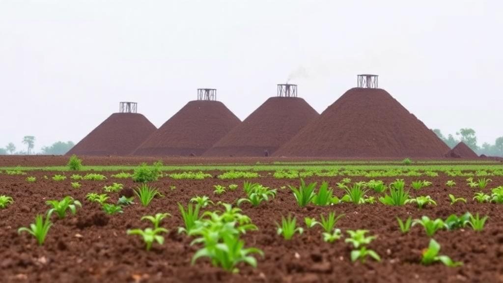
In the rice-growing heartland of Natore district in northwestern Bangladesh, the tall chimneys of brick kilns rise above green paddy fields like industrial sentinels. These kilns, which fire millions of clay bricks each dry season to feed the country’s construction boom, have long been suspected of contaminating the farmland that surrounds them. Now a new study published in the journal Environmental Monitoring and Assessment provides one of the most spatially detailed looks yet at what those emissions leave behind in the soil, and the results carry a clear warning about lead, even as they offer reassurance about other toxic metals.
A team of researchers from Khulna University, led by Kumar Utsho Shaha Dip and including Taskia Tasnim Oiswarjyo, Sumit Kumar Sen and senior author Abdullah Harun Chowdhury, focused on three closely spaced brick kilns at Lalpur in Natore. Their choice of site was deliberate. While large kiln clusters around Dhaka have attracted considerable research attention, the small, clustered kilns that dot rural Bangladesh remain poorly studied, despite being the dominant form of brick production across much of the countryside. Spatially explicit evidence on soil metal enrichment around these operations has been scarce, leaving farmers and regulators with little ground truth to guide decisions.
The researchers collected twenty-two samples of agricultural surface soil from the top ten centimetres, the layer where crops root most actively and where deposited pollutants accumulate. Sampling points were placed at nominal distances of 100 and 200 metres from the kiln chimneys in four compass directions, capturing the full ring of potentially affected farmland. Crucially, the team worked during the 2024 burning season, when the kilns were actively firing and emissions were at their peak. Each sample was digested in nitric-perchloric acid, a aggressive chemical treatment that releases metals bound to soil particles, and the resulting solutions were analysed by flame atomic absorption spectrometry, a standard technique capable of detecting metals at part-per-million concentrations.
The analytical targets were three metals with well-documented toxicity: chromium, lead and cadmium. Chromium ranged from 21.62 to 52.18 milligrams per kilogram of soil, with a mean of 33.01 milligrams per kilogram. Lead spanned 35.00 to 47.72 milligrams per kilogram. Cadmium told a different story entirely: at twenty-one of the twenty-two sampling points, concentrations fell below the instrument’s detection limit of 0.012 milligrams per kilogram, with a single striking detection of 2.35 milligrams per kilogram at one location. That isolated hotspot, standing alone in an otherwise cadmium-free dataset, is exactly the kind of anomaly that spatial mapping is designed to expose.
To interpret these numbers, the team compared them against two geochemical baselines, including regional reference values for Bangladeshi soils and the widely used average crustal abundances published by Turekian and Wedepohl in 1961. The comparison revealed a stark asymmetry. Lead exceeded the regional reference value of 23 milligrams per kilogram at every single sampling point, by margins ranging from 52 to 107 percent. Chromium, by contrast, averaged below its reference value of 41 milligrams per kilogram, suggesting that this metal has not accumulated to concerning levels in the study area. In other words, the contamination signature around these kilns is dominated by lead, not by the chromium that features prominently in some industrial pollution scenarios.
Spatial analysis was central to the study’s design. The researchers used inverse distance weighting, a geostatistical interpolation method that estimates values at unsampled locations based on the measured concentrations at nearby points, weighting closer samples more heavily. The resulting maps visualised how chromium and lead were distributed across the kiln surroundings, and the team interpreted these patterns against wind data for the firing season, drawn from the Bangladesh Meteorological Department and NASA’s POWER meteorological database. The logic is straightforward: if kiln smoke carries metal particles downwind, the highest soil concentrations should appear in the sectors that the prevailing winds favour.
The reality proved messier. Distance from the chimney correlated only weakly and non-significantly with the concentrations of both metals, meaning that soil close to a stack was not reliably more contaminated than soil further away. More intriguingly, the elevated concentrations occurred in sectors that the pre-monsoon wind field did not predict. This mismatch matters scientifically. It suggests that simple dispersion models based on regional wind patterns cannot fully explain where kiln-derived metals end up in the soil, and it hints that other processes, such as local turbulence around kiln structures, ash handling and disposal practices, fuel storage, or even non-kiln sources like vehicle traffic and agricultural inputs, may shape the contamination pattern. The authors are careful on this point: their findings establish a spatial association between kiln proximity and soil metal enrichment without attributing that enrichment definitively to kiln emissions.
To quantify the environmental stakes, the team applied four contamination indices, including the geoaccumulation index introduced by Müller, the pollution load index, and the ecological risk framework developed by Håkanson in 1980, which weights each metal’s toxicity and compares measured concentrations against background values. The verdict on overall ecological risk was reassuring: total ecological risk remained low throughout the study area. Lead’s consistent elevation above baseline, while noteworthy, did not translate into a high-risk classification under the Håkanson scheme, largely because cadmium, the metal with the highest toxicity weighting, was almost entirely absent. This nuance is important for readers tempted by alarming headlines: the soil around these kilns shows enrichment, but not yet ecological crisis.
Nevertheless, the study’s recommendations are pragmatic and forward-looking. The authors call for annual lead monitoring within 200 metres of brick kilns, a targeted surveillance programme that would track whether the enrichment they documented is stable, growing or seasonal. They also urge on-site containment of fuel and ash at kiln facilities, since brick kiln bottom ash is a known reservoir of metals that can leach into soil, and they propose a paired control-impact campaign that would compare kiln-adjacent soils against matched reference sites far from any kiln. Such a design would finally allow researchers to separate kiln contributions from background geochemistry and other pollution sources, resolving the attribution question that the current study deliberately leaves open.
The broader context makes these findings resonate well beyond one corner of Natore. Bangladesh produces tens of billions of bricks annually, overwhelmingly in fixed-chimney bull’s trench kilns that burn coal and wood with limited emission controls, and the industry consumes vast quantities of topsoil while blanketing surrounding farmland in particulate fallout. Previous studies in Pakistan and elsewhere in Bangladesh have reported metal enrichment in soils and plants near kilns, and the country’s 2013 Brick Manufacturing and Brick Kiln Establishment (Control) Act was meant to push the industry toward cleaner technologies. This new research adds a spatially explicit, seasonally timed data point to that picture, and its message is twofold: the lead accumulating in farmland soil near rural kilns deserves routine, affordable monitoring, and the ecological risk, for now, remains low enough that timely intervention could keep it that way. For the farmers working these fields, and for the regulators deciding where the next kiln may rise, the study offers both a warning and a workable path forward.
Subject of Research: Heavy metal contamination and ecological risk assessment of agricultural surface soil surrounding brick kilns in rural Bangladesh
Article Title: Spatial distribution and ecological risk of heavy metals in agricultural surface soil around brick kilns, Natore, Bangladesh
Article References: Dip, K. U. S., Oiswarjyo, T. T., Sen, S. K., & Chowdhury, A. H. (2026). Spatial distribution and ecological risk of heavy metals in agricultural surface soil around brick kilns, Natore, Bangladesh. Environmental Monitoring and Assessment, 198(10), Article 1057. https://doi.org/10.1007/s10661-026-15905-x
Image Credits: AI Generated
DOI: 10.1007/s10661-026-15905-x
Keywords: brick kilns, heavy metals, lead contamination, agricultural soil, Bangladesh, ecological risk assessment, spatial distribution, soil pollution, chromium, cadmium, geochemical baseline, environmental monitoring
Cite Scienmag News
Violet Maxwell. (October 12, 2026). Lead Levels Soar in Farmland Soil Near Bangladesh Brick Kilns, Study Finds. Scienmag. https://scienmag.com/lead-levels-soar-in-farmland-soil-near-bangladesh-brick-kilns-study-finds/
Violet Maxwell. "Lead Levels Soar in Farmland Soil Near Bangladesh Brick Kilns, Study Finds." Scienmag, 12 October 2026, https://scienmag.com/lead-levels-soar-in-farmland-soil-near-bangladesh-brick-kilns-study-finds/. Accessed 12 October 2026.
Violet Maxwell. "Lead Levels Soar in Farmland Soil Near Bangladesh Brick Kilns, Study Finds." Scienmag. October 12, 2026. https://scienmag.com/lead-levels-soar-in-farmland-soil-near-bangladesh-brick-kilns-study-finds/


