


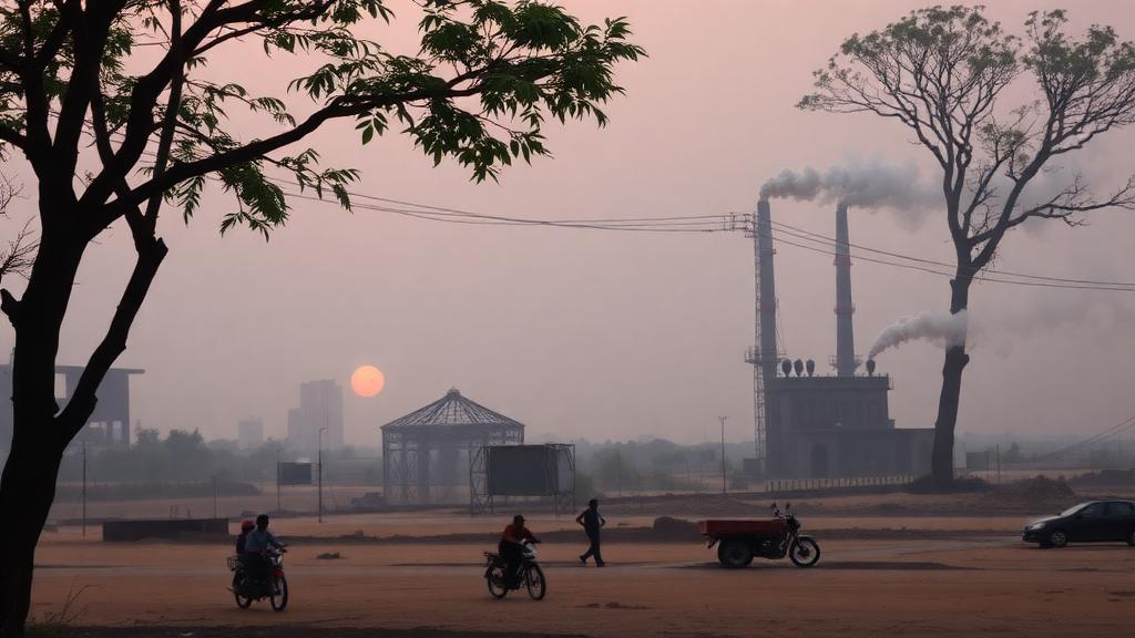
A dense web of inexpensive air quality sensors, paired with machine learning, has revealed starkly unequal exposure to fine particulate pollution across the Indian state of Bihar, one of the most polluted and least studied regions in the world. The study, published in Nature Communications by researchers led from IIT Kanpur, demonstrates how low-cost monitoring networks can fill vast data gaps where conventional regulatory-grade instruments are absent, and it quantifies for the first time how those gaps have hidden both geographic and socioeconomic inequities in who breathes the dirtiest air.
The technical foundation of the work is the AMRIT network, short for Ambient air quality Monitoring over Rural areas using the Indigenous Technology, a system of low-cost PM2.5 sensors deployed across Bihar with support from the Bihar State Pollution Control Board and state rural development departments. Low-cost sensors have long been viewed with skepticism because their raw readings drift with humidity and aerosol composition, so the team calibrated and corrected the network data using machine learning models trained against reference-grade measurements. This fusion of dense spatial sampling with statistical correction produced sub-regional exposure estimates at a resolution that a handful of government monitors could never deliver.
Bihar sits in the Indo-Gangetic Plain, a basin where emissions from cooking and heating fuels, agriculture, brick kilns, industry, and transport mix under meteorological conditions that trap particulate matter over hundreds of millions of people. India has made measurable progress against the most extreme pollution episodes, yet the study notes that much of the state continues to experience fine particulate matter concentrations exceeding both World Health Organization guidelines and India’s own national air quality standards. The new estimates show a clear north-south divide: districts in the north experience mean PM2.5 exposure roughly 1.2 times higher than their southern counterparts.
Why the north-south contrast? The geography is telling. Northern Bihar lies closer to the Himalayan foothills, where winter temperature inversions and diminished wind speeds allow pollution to accumulate, and the region’s high rural population density intensifies emissions from solid fuel burning during the cold season. Because exposure maps at district resolution had simply never existed for these areas, air quality management had effectively flown blind across entire sub-regions, allocating resources based on data from distant urban monitors that poorly represented rural reality.
The health analysis goes a step further than mapping concentrations. The researchers combined their exposure fields with recent National Family Health Survey data and India-specific concentration-response information, which describes how mortality risk rises with each increment of PM2.5 exposure, to estimate both the burden of deaths attributable to pollution and the day-to-day mortality impacts of short-term exposure spikes. The results reveal that district-level mortality rates per 100,000 people vary by as much as 1.7-fold within the state, while daily mortality impacts swing by a factor of 3.2 across the year, driven largely by the notorious winter pollution peaks.
Perhaps the most politically significant finding concerns equity. At the level of the whole state, the study detected only limited inequity in exposure between socioeconomic groups, but that apparent fairness dissolves when the lens zooms in. Within regions and even within districts, substantial inter- and intra-regional inequities emerge, meaning that averages at the state scale mask pockets where poorer communities systematically breathe more polluted air. This scale-dependence matters because air quality policy in India is typically designed and evaluated at state or city scale, precisely the scales at which inequity becomes statistically invisible.
Methodologically, the study offers a template that other data-sparse regions can copy. The framework integrates three distinct streams of evidence: the corrected sensor network for exposure, household survey data for demographic and socioeconomic context, and epidemiological risk functions for health translation. Machine learning plays the connective role, correcting sensor biases and interpolating sparse observations into continuous exposure surfaces. In places where a regulatory-grade monitor costs tens of thousands of dollars and requires trained staff and stable power, networks of indigenous low-cost devices costing a fraction as much can transform monitoring from a handful of stations into a genuinely spatial picture.
The implications extend well beyond Bihar. More than half of the world’s population exposure to fine particulate matter occurs in South Asia, and large rural populations across the Indo-Gangetic Plain and sub-Saharan Africa live far from any air quality monitor. Frameworks like this one, combining low-cost sensing, machine learning calibration, household survey data, and region-specific risk estimates, offer a credible route to building exposure and health assessments where the traditional monitoring infrastructure simply does not exist. For environmental justice advocates, the findings supply hard numbers showing that who gets polluted, and who dies from it, depends heavily on where within a state a person lives and how wealthy their community is.
The researchers acknowledge the support of the Bihar State Pollution Control Board and counterpart agencies in Uttar Pradesh, and funding came from India’s national Centre of Excellence on Advanced Technologies for Monitoring Air-quality iNdicators, backed by Bloomberg Philanthropies, Coefficient Giving, and the Clean Air Fund. That blend of government and philanthropic support reflects a growing recognition that clean air governance begins with data. What this study makes unmistakably clear is that the invisible burden of air pollution is not evenly shared, and with the right tools, it no longer has to remain invisible.
Subject of Research: Low-cost sensor network assessment of PM2.5 exposure inequity and mortality impacts in Bihar, India
Article Title: Unveiling hidden air pollution exposure and impacts with low-cost sensor network-based frameworks
Article References: Agrawal, N., Godhani, N., Chowdhury, S., Anandh, P. C., Kumar, A., Rai, P., & Tripathi, S. N. (2026). Unveiling hidden air pollution exposure and impacts with low-cost sensor network-based frameworks. Nature Communications. https://doi.org/10.1038/s41467-026-77148-1
Image Credits: AI Generated
DOI: 10.1038/s41467-026-77148-1
Keywords: air pollution, PM2.5, low-cost sensors, Bihar, India, machine learning, exposure inequity, mortality, public health, environmental justice, sensor network, Indo-Gangetic Plain
Cite Scienmag News
Russell Cooper. (October 11, 2026). Low-Cost Sensor Networks Expose Hidden Air Pollution Risks in Rural India. Scienmag. https://scienmag.com/low-cost-sensor-networks-expose-hidden-air-pollution-risks-in-rural-india/
Russell Cooper. "Low-Cost Sensor Networks Expose Hidden Air Pollution Risks in Rural India." Scienmag, 11 October 2026, https://scienmag.com/low-cost-sensor-networks-expose-hidden-air-pollution-risks-in-rural-india/. Accessed 11 October 2026.
Russell Cooper. "Low-Cost Sensor Networks Expose Hidden Air Pollution Risks in Rural India." Scienmag. October 11, 2026. https://scienmag.com/low-cost-sensor-networks-expose-hidden-air-pollution-risks-in-rural-india/


