


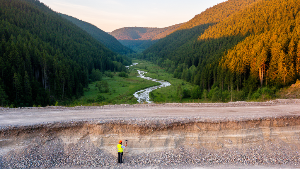
Beneath the gentle, green valley floors of Germany’s Black Forest lies a hidden archive that scientists have now measured for the first time at scale. A new study by Annette Sophie Bösmeier and Jan Henrik Blöthe of the University of Freiburg, published in the E&G Quaternary Science Journal, provides the first comprehensive quantification of the sediment stored in the alluvial valleys of the middle and southern Black Forest. Drawing on thousands of archived borehole records, high-resolution digital terrain data, and machine learning, the researchers reconstructed how thick the sediment blankets are, where they occur, and how much material the valleys hold in total. Their answer: between roughly 1.2 and 2.8 cubic kilometers of sand and gravel, distributed in a pattern that points unmistakably to the region’s deep tectonic architecture as a first-order control on valley form.
The significance of the work goes beyond regional curiosity. Alluviated valleys are among the most heavily used and most vulnerable landscapes on Earth. Their flat, fertile floodplains host towns, roads, and farmland, and their sand and gravel bodies often serve as important groundwater aquifers. Yet while the neighboring Upper Rhine Graben—one of Europe’s most important sedimentary basins and transboundary water resources—has been drilled, mapped, and modeled for decades, the tributary valleys draining the Black Forest into the Rhine remained largely unquantified. Older regional studies existed, but most were spatially limited, relying on a handful of drillings, and many never reached bedrock at the deepest points of the valleys. A coherent, catchment-wide picture of the subsurface was simply missing.
To close that gap, the team assembled an extraordinary legacy dataset: 7,070 data points compiled by the Baden-Württemberg State Office for Geology, Resources and Mining, including boreholes, prospecting pits, and sampling locations, with the oldest documents dating back to the 1930s. The records were collected for everything from road construction and well drilling to contaminated-site monitoring and wind park investigations. After careful quality screening, only about a third of the points proved usable, and just 978 boreholes—roughly 14 percent of the original dataset—actually reached bedrock within the mapped valley floors. That attrition rate illustrates a common challenge in geomorphology: the subsurface is known only where someone has happened to drill, and drilling clusters where people build.
The researchers attacked the quantification problem with two complementary methods. The first approach compiled 41 composite valley cross sections, each stitched together from one to twelve boreholes that penetrated to bedrock. By projecting the borehole positions onto hypothetical transects across each valley and interpolating between measured sediment depths, the team approximated the buried bedrock topography and computed cross-sectional areas of the sediment fill. Multiplying these average depths by the mapped valley floor area of each catchment yielded benchmark volume estimates. The second approach treated sediment depth as a predictable function of landscape characteristics. Using four predictor variables—distance to the valley floor boundary, flow accumulation spread across the valley floor, flow accumulation quantiles, and elevation quantiles—the authors fitted both linear regression and random forest models, an ensemble machine learning technique, to the borehole data and applied the best models to every grid cell of the valley bottoms.
Valley floors themselves had to be mapped first. The team used the multi-resolution valley bottom flatness algorithm, which identifies low, flat areas at multiple spatial scales, tuning its parameters catchment by catchment against the geological map. The result was 175 square kilometers of valley floor, just 8.3 percent of the 2,094-square-kilometer study area, which spans nine catchments ranging from 13 to 1,034 square kilometers, from the Rench in the north to the Neumagen in the south. The large Kinzig catchment contains nearly half of all valley floor area, followed by the Dreisam and the Elz. The Dreisam stands out in another way: with its broad, tectonically shaped Zarten basin, it devotes 12.5 percent of its catchment area to valley fill, the highest proportion in the study.
The cross sections revealed a striking heterogeneity in the buried landscape. Valley floors range from 16 meters to 3 kilometers wide, and average sediment depths from 2 to 36.3 meters. Narrow headwater valleys tend to show classic V-shaped fills, sometimes surprisingly deep relative to their width. But the main valleys tell a different story: nearly half of the well-constrained profiles show a remarkably flat bedrock erosion surface capped by a shallow sediment cover, typically less than 15 meters thick—even in valleys nearly a kilometer wide. Only toward the Upper Rhine Graben do some valley sections widen into box- or trough-shaped forms containing sediments up to 100 meters thick. Several profiles also display abrupt vertical jumps in bedrock depth, some coinciding with mapped or suspected fault lines, hints of either tectonic displacement or strongly asymmetric incision.
The two methods produced broadly consistent but not identical totals. The cross-section benchmarks yielded a median study-area volume of 1.2 cubic kilometers, with the Kinzig holding about 45 percent, the Dreisam 24 percent, and the Elz 17 percent. Regression modeling pushed the median total higher, to 2.8 cubic kilometers, with the Kinzig at roughly 42 percent and the Dreisam rising to 31 percent. The random forest models generally outperformed the linear ones, explaining up to 80 percent of the variance in sediment depth, and their spatial predictions better reproduced the shallow, trough-like geometry of the main valleys, whereas linear models tended to exaggerate V-shaped forms. The authors caution that linear interpolation between boreholes likely underestimates fill volumes where the deepest parts of a valley fall between drill sites, and that data quality, clustering, and the semi-automated valley floor mapping all introduce uncertainty.
The most provocative finding concerns two catchments whose sediment volumes are disproportionately large relative to their valley floor area: the Dreisam and the Schutter. Both carry a distinctive structural imprint. The Dreisam lies within the Freiburg–Bonndorf–Bodensee fault zone, a large crustal-scale deformation zone inherited from the late Paleozoic Variscan orogeny, and its Zarten basin holds more than 50 meters of fluvial sediment. The Schutter, meanwhile, is crossed by the Cenozoic main border fault that separates the uplifted Black Forest block from the subsiding Upper Rhine Graben. The authors suggest these crustal discontinuities may be linked to enhanced fluvial incision, focusing erosion along fractured rock and deepening the valleys—and their sediment repositories—far beyond what catchment size alone would predict.
That tectonic signature extends across the region. The Black Forest and the Vosges have been uplifted as rift shoulders of the Upper Rhine Graben since the early Miocene, and many Black Forest valleys, including the Elz and Glotter trunk valleys, follow NE- to NNE-oriented faults traceable to the Variscan orogeny. In the Elz valley, where a normal fault is well documented and current seismic activity has been recorded, the cross sections show an asymmetric bedrock surface sloping toward the northwest, along with a localized depression that may represent an abandoned channel on the footwall side of the fault—potentially even unpaired bedrock terraces formed by tectonic deflection of the river. Comparable evidence is absent along the Kinzig, where no major valley fault exists, reinforcing the interpretation that these subsurface anomalies are structural rather than purely fluvial in origin.
Compared with alpine settings, the Black Forest’s sediment storage is modest. Valley fills here cover a smaller share of catchment area than in the Himalayas, where glacially overdeepened valleys hold vast sediment volumes, and the volume–area scaling derived from Himalayan data would overestimate most Black Forest storage. Instead, the region’s wide, shallow valleys—broadened by lateral erosion and sediment accumulation rather than renewed bedrock incision—resemble the European Alps in their areal footprint but hold comparatively thin fills. For water managers, the new maps offer practical value: the sediment bodies are porous aquifers, and spatially resolved depth estimates feed directly into groundwater models, such as ongoing stress tests of the Dreisam valley. For geologists, the buried valley geometry doubles as a low-cost probe of active tectonics in a region where seismic hazard assessment depends on knowing where faults move. What looks like a sleepy forest valley, it turns out, is a ledger of millions of years of rifting, uplift, and river work—now, at last, counted.
Subject of Research: Quantification of alluvial valley fill sediments and the tectonic control on valley morphology in the southwestern Black Forest, Germany
Article Title: Sediment storage quantification in the Black Forest highlights tectonic influence on typically wide and shallow valleys
Article References: Sediment storage quantification in the Black Forest highlights tectonic influence on typically wide and shallow valleys. (n.d.). https://doi.org/10.5194/egqsj-74-301-2025
Image Credits: AI Generated
DOI: 10.5194/egqsj-74-301-2025
Keywords: Black Forest, valley fill, sediment storage, tectonics, Upper Rhine Graben, borehole data, random forest regression, geomorphology, Quaternary, groundwater, fault zones, fluvial incision
Cite Scienmag News
Violet Maxwell. (October 9, 2026). Hidden Depths: Black Forest Valleys Reveal a Tectonic Fingerprint Beneath Their Sediments. Scienmag. https://scienmag.com/hidden-depths-black-forest-valleys-reveal-a-tectonic-fingerprint-beneath-their-sediments/
Violet Maxwell. "Hidden Depths: Black Forest Valleys Reveal a Tectonic Fingerprint Beneath Their Sediments." Scienmag, 9 October 2026, https://scienmag.com/hidden-depths-black-forest-valleys-reveal-a-tectonic-fingerprint-beneath-their-sediments/. Accessed 9 October 2026.
Violet Maxwell. "Hidden Depths: Black Forest Valleys Reveal a Tectonic Fingerprint Beneath Their Sediments." Scienmag. October 9, 2026. https://scienmag.com/hidden-depths-black-forest-valleys-reveal-a-tectonic-fingerprint-beneath-their-sediments/


