


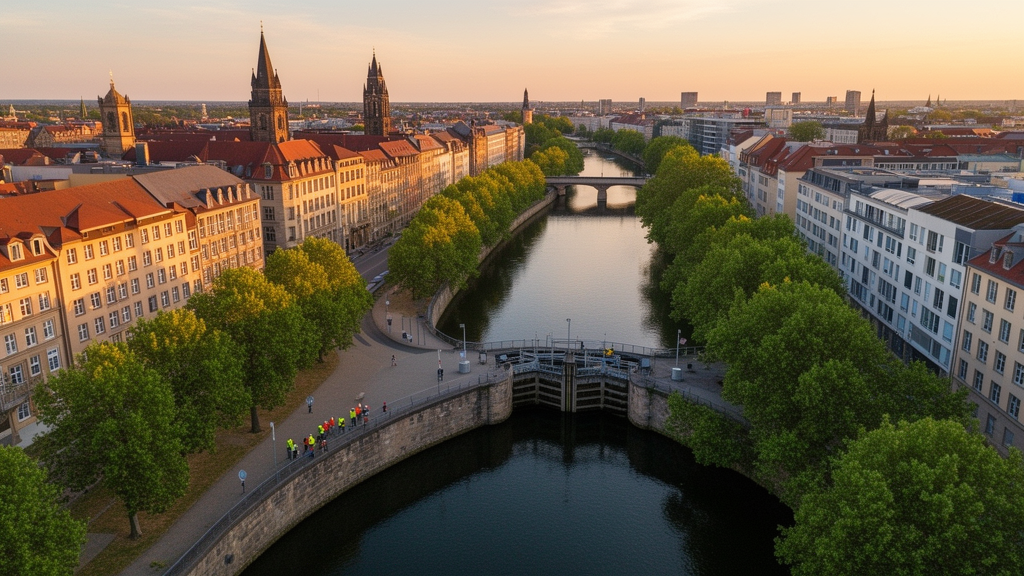
Buried beneath the tidy waterways that wind through the floodplain south of Leipzig lies the ghost of a far wilder river system. A new study published in E&G Quaternary Science Journal has reconstructed, with remarkable precision, how the Elster–Pleiße floodplain was transformed over roughly 400 years from a dynamic, branching network of shifting channels into the largely immobile, engineered watercourses we see today. The research, led by Johannes Schmidt of Leipzig University together with colleagues from several German institutions, combines cutting-edge airborne laser scanning with centuries-old maps to reveal a landscape whose apparent stability is not natural at all, but the cumulative product of mills, canals, timber rafting, flood protection, and slowly accumulating sediment.
The team’s central tool was a Light Detection and Ranging Digital Terrain Model, or LiDAR DTM, with a resolution of one square meter and a height accuracy of about 20 centimeters, captured in February 2018. Such datasets are revolutionizing geomorphology because they strip away, in effect, the visual noise of vegetation and reveal the subtle topography of the ground surface. In the Leipzig floodplain, this technique exposed a treasure trove of relict landforms: abandoned meander loops and oxbow lakes, ridge-and-swale point bar structures that record the lateral sweep of ancient river bends, natural levees raised roughly half a meter above the surrounding plain, and fan-shaped crevasse splays left behind when floodwaters breached those levees. In total, the researchers mapped 1,306 individual geomorphological structures with a combined length of 116 kilometers across the roughly 20-square-kilometer study area.
These features tell a striking story. The densest concentrations occur in the central floodplain between the Weiße Elster and Pleiße rivers, particularly along the smaller anabranches known as the Paußnitz and Batschke. Along the Paußnitz, which flows today through protected floodplain forest, at least five former meander loops are visible, complete with steep cut banks and gentle point bars, alongside natural levees and a well-preserved crevasse splay. The ridge-and-swale relief on the point bars indicates that this modest stream once migrated actively across its floodplain. The Batschke floodplain, meanwhile, has been vertically aggraded by up to half a meter compared with its neighbors, and its former courses are flanked by levees rising as much as 0.6 meters, evidence of a river that once moved freely and deposited sediment generously.
To place these landforms in time, the researchers turned to historical cartography. Their anchor point is the Öder–Zimmermann map, a hand-painted, geometrically surveyed product of Saxon electoral ambition begun in 1585 under Elector Christian I and continued by Matthias Öder and his cousin Balthasar Zimmermann until the 1630s. Unrivaled in precision until the late eighteenth century, it was georeferenced for this study using a regressive–iterative method, working backward from younger, more accurately surveyed maps. The team supplemented it with the Saxon mileage sheets of 1802 to 1806, drawn at a scale of 1:12,000 using geodetic triangulation, and with twentieth-century ordnance survey maps from 1939 to 1941, produced after the great artificial flood channels of the Elster system had been built. A further gem, the 1682 survey by the miller of Leipzig’s Nonnenmühle, could not be georeferenced but vividly depicts the rivers, mills, weirs, meadows, and tree-lined channels of the early modern floodplain.
The quantitative comparison of these four time slices yielded an unexpected result: the positions and shapes of the main meander bends have barely shifted since the late sixteenth century. Sections of the rivers that were never straightened appear in nearly identical form on maps from the 1600s, the 1800s, and the 1900s. Yet the calculated sinuosity of all four main rivers declines steadily over time, with the sharpest drop recorded for the Batschke, which was converted into a straight timber-rafting canal in the early seventeenth century. In other words, the rivers were already largely stabilized when the first reliable map was drawn, and human engineering since then has progressively trimmed, straightened, and locked them in place rather than fundamentally relocating them.
This finding pushes the major transformation of the Leipzig rivers much deeper into the past than many might assume. Written records show that mill races supplying the city’s mills were constructed between the twelfth and thirteenth centuries, likely under the impetus of Leipzig’s monasteries, which owned most of the surrounding land until the Reformation. By the end of the fifteenth century, a complex system of ditches, weirs, and mill races was already in operation, maintained and expanded over the following centuries. The early seventeenth century brought the next great intervention, when the Batschke was reworked between 1608 and 1610 into a timber-rafting canal feeding the Weiße Elster rafting ditch, a function it served until 1864. Finally, the late nineteenth and twentieth centuries saw flood protection basins, the Elster and Pleiße high-flow channels, and open-cast lignite mining reshape the network at an industrial scale, even destroying the lower course of the Paußnitz entirely.
Why did the rivers stop moving? The study argues that no single culprit suffices; instead, stabilization emerged from the interplay of sedimentary processes and human action. Over the past millennium, roughly one meter of fine-grained overbank sediment has accumulated on the floodplain, so that by around 1600 the cohesive deposits were already one and a half to two meters thick. These loamy clays, with clay contents that can reach 50 percent, strongly resist lateral erosion: as banks grow thicker and finer-grained, they become progressively harder for floodwaters to undercut. At the same time, sediment supplied from deforested slopes in the mid-mountain headwaters since the Middle Ages has fed this aggradation. The authors caution that an intrinsic shift from active meandering to stable flow cannot be ruled out, but they note that the Weiße Elster was still meandering actively about 80 kilometers upstream during this period, so internal sediment dynamics alone cannot explain the Leipzig stabilization.
Human agency likely compounded the sedimentary effect in subtler ways than canals and dams alone. Historical sources reveal that willows were deliberately planted along the riverbanks from at least the early modern period, both as an economic resource for firewood and wickerwork and as living bank protection. A 1725 document from the Leipzig municipal archive complains that a ditch could barely be dug because of willows standing on the meadows, whose roots held the banks together. Rows of trees along the rivers appear on maps from the seventeenth century onward. Willow roots are well known to reinforce banks against lateral erosion, meaning that even rivers without mills or weirs, such as the Batschke and Paußnitz, may have been indirectly stabilized through bank vegetation and their hydrological connection to the wider engineered network. The researchers also considered hydroclimatic forcing, noting that the Little Ice Age brought variable, sometimes wetter conditions that drove increased fluvial activity elsewhere in Central Europe, but they conclude that the lack of a regional hydroclimatic reference curve for Leipzig makes climatic forcing impossible to assess here.
The implications reach well beyond academic curiosity. Germany’s floodplain status report identifies an urgent need for river and floodplain revitalization, and restoration planners require reference models of what rivers once looked like. This study provides exactly that: a quantified, spatially explicit record of former channel patterns, preserved oxbows, and relict anabranches that could guide the reconnection of side channels and the restoration of more natural dynamics. Just as importantly, it delivers a sobering lesson in humility. The Leipzig floodplain has been shaped by human hands for at least eight centuries, and its topography, sediments, and infrastructure carry entrenched legacies that no restoration can simply erase. Realistic goals, the authors argue, must work with these legacies rather than against them, enhancing ecological function within a landscape whose rivers were tamed not in a single engineering age, but gradually, by the accumulated decisions of millers, raftsmen, monks, and engineers across four hundred years.
Subject of Research: Historical human-induced changes in river channel patterns and floodplain dynamics of the Elster–Pleiße floodplain near Leipzig, Germany, over the last 400 years
Article Title: Spatiotemporal dynamics of river channel patterns during the last 400 years south of Leipzig, Germany
Article References: Schmidt, J., Lindemann, S., Geißler, F., Hein, M., Lohse, N., Schmidt-Funke, J., & Hardt, M. (2025). Spatiotemporal dynamics of river channel patterns during the last 400 years south of Leipzig, Germany. E&G Quaternary Science Journal, 74(2), 355-381. https://doi.org/10.5194/egqsj-74-355-2025
Image Credits: AI Generated
DOI: 10.5194/egqsj-74-355-2025
Keywords: floodplain, river geomorphology, LiDAR, historical maps, Leipzig, Weiße Elster, Pleiße, meandering, river restoration, anthropogenic change, mill races, timber rafting
Cite Scienmag News
Denise Maddox. (October 9, 2026). How Four Centuries of Human Engineering Tamed Leipzig’s Wild Rivers. Scienmag. https://scienmag.com/how-four-centuries-of-human-engineering-tamed-leipzigs-wild-rivers/
Denise Maddox. "How Four Centuries of Human Engineering Tamed Leipzig’s Wild Rivers." Scienmag, 9 October 2026, https://scienmag.com/how-four-centuries-of-human-engineering-tamed-leipzigs-wild-rivers/. Accessed 9 October 2026.
Denise Maddox. "How Four Centuries of Human Engineering Tamed Leipzig’s Wild Rivers." Scienmag. October 9, 2026. https://scienmag.com/how-four-centuries-of-human-engineering-tamed-leipzigs-wild-rivers/


