


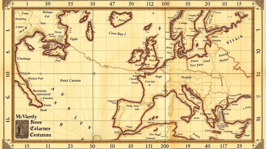
For more than seven centuries, the portolan charts of the Mediterranean have baffled historians. These hand-drawn nautical maps, which appeared abruptly in the late thirteenth century, depict coastlines with a planimetric accuracy so startling that they look almost modern, standing in sharp contrast to the schematic world maps of the same era. The prevailing explanation has long been that mediaeval sailors, armed with the newly arrived magnetic compass, measured bearings and distances at sea and that cartographers stitched these observations into the remarkably precise charts we see today. A new study, however, argues that this consensus is wrong, and that the true origin of the charts’ spatial data lies not in the mediaeval Mediterranean at all, but in classical antiquity.
The research, published in the journal History of Geo- and Space Sciences, was conducted by Tome Marelić of the University of Zadar in Croatia. It centres on the anonymous Carta Riccardiana, a portolan chart held in Florence’s Biblioteca Riccardiana and dated to roughly 1300 to 1325, which is widely attributed to the Genoese-born cartographer Pietro Vesconte, who worked in Venice between 1311 and 1327. Using rigorous cartometric analysis combined with historical records, Marelić proposes a concrete mechanism by which late mediaeval copyist-cartographers may have assembled such charts from regional maps originally drawn in classical antiquity, in the projection attributed to the first-century geographer Marinus of Tyre.
The mystery of the portolan charts rests on three distinctive features. They prioritise coastlines of the Mediterranean, Black Sea, and Atlantic coasts of Western Europe and Northwest Africa, rendered with a characteristic sawtooth appearance and perpendicular toponyms. They incorporate linear scale bars and wind roses, navigational instruments that appear on maps for the first time in history. And above all, they portray coastlines with an accuracy that dwarfs the simplified depictions found on the great mappaemundi of the era, such as the Hereford and Ebstorf maps, or on al-Idrisi’s twelfth-century Tabula Rogeriana. Since the nineteenth century, scholars have debated whether this accuracy sprang from mediaeval seaborne surveys or from older, inherited sources.
Quantitative studies have repeatedly undermined the mediaeval-origin hypothesis. Hermann Wagner, who pioneered the cartometric method in 1896, noticed that the length of the portolan mile varies across the chart field, suggesting composite images built from sub-pieces of differing scale and tilt. Scott Loomer’s doctoral analysis in 1987 georeferenced twenty-six charts and found that each sea basin exhibits its own anticlockwise tilt and map scale, with an average coastline tilt of around ten degrees. Roel Nicolai’s 2014 dissertation demonstrated that the numerical bearings and distances in the Compasso de Navegare portolan were actually scaled off an existing chart, reversing the assumed direction of data flow, and concluded that the charts’ geodetic origin does not lie in mediaeval Europe.
A crucial problem for the compass-based explanation is that the anticlockwise tilt of portolan coastlines does not match the easterly magnetic declination of the late Middle Ages as reconstructed by palaeomagnetic models. If mediaeval sailors had perceived magnetic north as true north and plotted their courses accordingly, the resulting distortions would vary systematically with longitude, growing smaller toward the Levant. The tilts on the charts simply do not behave this way. Moreover, Nicolai’s analysis of historical records suggests the mariner’s compass arrived too late in the Mediterranean to generate the volume of bearing data needed for the earliest charts, and the oldest known portolan document appears aligned with geographic north rather than magnetic north.
Marelić’s new study takes the decisive step of questioning the reference frame itself. Previous cartometric work found that portolan charts fit the modern Mercator projection better than any other single projection, leading some researchers to speculate that the conformal cylindrical projection was somehow invented centuries before Gerard Mercator. Marelić instead tested whether the chart’s subsections fit better with equidistant cylindrical projections calibrated to their own mid-latitudes, the projection family associated with Marinus of Tyre. When the nine cartometrically determined subsections of the Carta Riccardiana were georeferenced individually to such projections, the overall geometric agreement proved slightly better than with the Mercator map, refuting the anachronistic Mercator hypothesis.
The proposed assembly mechanism is elegantly simple. Marelić suggests that late mediaeval Ligurian cartographers obtained a collection of regional maps from classical antiquity, drawn in distinct equidistant cylindrical projections whose true-to-scale parallels matched each region’s mid-latitude. To merge these sheets into one coherent image, they conformally enlarged the northern maps of the Mediterranean and Black Sea until their longitudinal intervals visually matched those of the southern maps calibrated to thirty-six degrees latitude, while placing the North Atlantic map directly above the South Atlantic without scaling. Once assembled, the mosaic deceptively mimics the geometry of a Mercator projection, explaining why modern analyses have found spurious agreement with it.
The tilts of the coastlines find an explanation too. Two contemporaneous historical sources, the anonymous Rex Tholomeus chart of around 1360 and Benedetto Cotrugli’s 1464 book De Navigatione, explicitly attribute the underlying spatial data to Ptolemy. Marelić proposes that the copyist-cartographers used a small-scale map of the inhabited world in Ptolemy’s first projection, an equidistant conic projection, as a graphical reference model. By incrementally rotating the regional sheets, pivoting from Gibraltar, by roughly half the meridian inclination of Ptolemy’s projection, they produced a hybrid image whose overall tilt falls between Marinus’s cylindrical map and Ptolemy’s conic one. When the model was overlaid on the vectorised coastline of the Carta Riccardiana, with minor shifts and a fifteen percent enlargement of the Aegean segment, it matched the chart’s coastlines with remarkable congruence.
Supporting evidence comes from unexpected quarters. The Persian scholar Qutb al-Din al-Shirazi’s schematic of a Greek map, made in 1282, shares square grids with the Carte Pisane and Avignon charts whose sides measure about 125 kilometres along the thirty-sixth parallel, equivalent to one hundred portolan miles. Fifty portolan miles, the standard interval on chart scale bars, corresponds to one degree of longitude at that parallel according to Ptolemy’s erroneous estimate of the Earth’s circumference, strongly suggesting classical sources. The misaligned scale bars on various charts, encircled, cross-shaped, or diagonal, reveal that their creators mistakenly believed distances were preserved in all directions, an error incompatible with anyone capable of original geodetic surveying.
The implications are profound. If portolan charts are late mediaeval copies of ancient originals, then classical cartographers achieved a planimetric accuracy of coastlines that would not be surpassed for centuries, and the standard coverage of the charts corresponds strikingly with the territorial extent of the Roman Empire under Trajan, hinting at the possibility of an organised, perhaps covert, imperial survey. Marelić acknowledges the model’s limitations, including uncertainties about the longitudinal accuracy of Ptolemy’s geography and the loss of Marinus of Tyre’s own records, which the tenth-century scholar al-Masudi claimed surpassed Ptolemy’s maps. Yet the convergence of cartometric evidence and explicit historical testimony points in one direction: the search for the origins of nautical cartography must now reach back past the mediaeval Mediterranean into the map rooms of classical antiquity.
Subject of Research: The classical antiquity origin of the spatial data underlying mediaeval portolan charts
Article Title: Classical antiquity origin of spatial data underlying portolan charts: how Pietro Vesconte might have assembled the Carta Riccardiana utilising maps in Marinus of Tyre's projection
Article References: Marelić, T. (2026). Classical antiquity origin of spatial data underlying portolan charts: how Pietro Vesconte might have assembled the Carta Riccardiana utilising maps in Marinus of Tyre's projection. History of Geo- and Space Sciences, 17(2), 83-112. https://doi.org/10.5194/hgss-17-83-2026
Image Credits: AI Generated
Keywords: portolan charts, Carta Riccardiana, Pietro Vesconte, Marinus of Tyre, Ptolemy, map projections, cartometry, history of cartography, magnetic declination, Mediterranean, classical antiquity, navigation
Cite Scienmag News
Grant Pearson. (October 8, 2026). Medieval Sea Charts May Be Copies of Ancient Maps, Study Finds. Scienmag. https://scienmag.com/medieval-sea-charts-may-be-copies-of-ancient-maps-study-finds/
Grant Pearson. "Medieval Sea Charts May Be Copies of Ancient Maps, Study Finds." Scienmag, 8 October 2026, https://scienmag.com/medieval-sea-charts-may-be-copies-of-ancient-maps-study-finds/. Accessed 8 October 2026.
Grant Pearson. "Medieval Sea Charts May Be Copies of Ancient Maps, Study Finds." Scienmag. October 8, 2026. https://scienmag.com/medieval-sea-charts-may-be-copies-of-ancient-maps-study-finds/


