


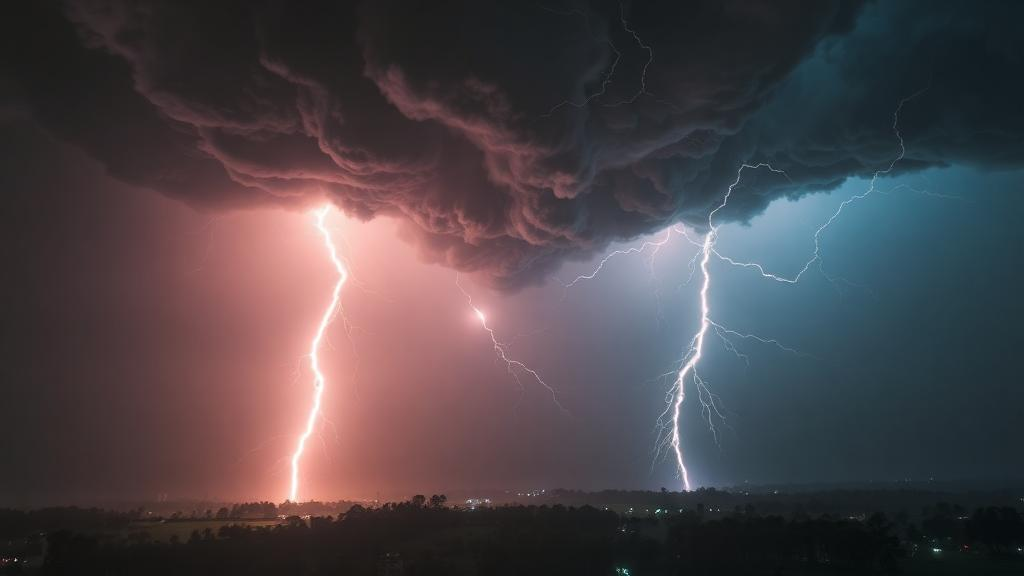
On 10 April 2025, a severe thunderstorm swept across the eastern Indian state of Bihar, battering 19 of the state’s 38 districts and leaving 63 people dead. Survey teams who examined the wreckage afterwards estimated peak surface winds of 120 kilometres per hour from the structural damage, while lightning strikes claimed 23 of the victims and wind-related hazards the remaining 40. The district of Nalanda, in the central-southern belt of the state, suffered the most extensive devastation. A new open-access study published in Discover Geoscience by Anand Shankar, Shashi Kant and Lal Kamal of the India Meteorological Department now reconstructs, in remarkable technical detail, exactly how an ordinary pre-monsoon afternoon escalated into one of the deadliest convective events in recent memory for the eastern Gangetic Plain.
The research team assembled an unusually rich observational record for a single storm. They drew on ERA5 reanalysis fields from the European Centre for Medium-Range Weather Forecasts, half-hourly imagery from the INSAT-3DR satellite, radiosonde profiles launched from Patna, surface winds from 54 automatic weather stations quality-controlled with range and spike checks, cloud-to-ground and intracloud flash records from the Indian Lightning Location Network, and 24-hour rainfall totals from 472 rain gauges interpolated by ordinary kriging. Casualty data from Bihar’s disaster management department were validated through field surveys within 48 hours of the event, with lightning fatalities attributed using a strict proximity criterion of 500 metres and 30 minutes against the lightning network’s flash records. This multi-platform approach allowed the authors to trace the storm’s full lifecycle from initiation to dissipation with a precision rarely possible in this region.
The satellite record reveals a dramatic two-act structure. A first convective cell formed over north-central Uttar Pradesh at around 0300 UTC, its longevity apparently sustained by orographic influences from Uttarakhand’s hills, strong daytime surface heating and a steady influx of moisture from the Bay of Bengal. A second cell developed independently over the northern Chhattisgarh–Jharkhand border at roughly 0700 UTC, in an environment of intense surface heating, low-level convergence and orographic lifting along the plateau margins. By 0715 UTC the two convective leading edges were converging over west-central Bihar, and at approximately 0915 UTC they merged over the state’s central districts, coinciding with a sharp intensification of lightning across Bhojpur, Arwal, Jehanabad, Patna, Nalanda and Sheikhpura.
After the merger, the system took on an elongated, arc-like form that the authors describe as bow-echo-like, a configuration classically associated with rear-inflow jets, embedded vortices and damaging straight-line winds. The evidence is a sharp horizontal gradient in cloud-top brightness temperature, reaching 15 to 20 kelvin per pixel between 0945 and 1045 UTC, precisely when cloud-to-ground flash counts peaked at 2615 to 2871 strikes per 30-minute window and automatic weather stations recorded gusts exceeding 85 kilometres per hour. Cloud tops climbed to 14 to 17 kilometres, with cloud-top pressure plunging below 300 hectopascals over the Nalanda–Patna–Bhojpur corridor. The authors are careful to note that the Patna S-band Doppler radar was non-operational during the event, so the bow-echo classification rests on satellite and lightning proxies alone and cannot be kinematically verified. Even so, the coincidence of the arcing thermal boundary, overshooting tops and concentrated wind damage near the gradient apex over Nalanda is striking.
The thermodynamic setup was equally decisive. Hovmöller diagnostics along the storm-affected corridor show that between roughly 0600 and 1000 UTC all three formulations of convective available potential energy—surface-based, mixed-layer and most-unstable—intensified dramatically, exceeding 1000 joules per kilogram with a concentrated core above 1500 joules per kilogram near 24.5 to 25 degrees north. Crucially, the difference between skin temperature and two-metre air temperature was strongly positive during the morning, indicating that the land surface was warming well above the overlying air. This radiative heating eroded the convective inhibition that had capped the boundary layer, and by 0800 to 1000 UTC strong upward motion at 850 hectopascals, approaching minus 1.35 to minus 1.80 pascals per second, signalled organised low-level convergence feeding the developing convective column. Before 0600 UTC the vertical velocity field had been near-neutral or weakly subsident, underscoring that the available instability alone was not enough—surface heating was the trigger.
The Patna radiosonde profiles tell the same story in three acts. On 9 April the sounding showed substantial potential with surface-based CAPE of 2523.5 joules per kilogram, most-unstable CAPE of 3342.0 joules per kilogram and moderate capping of minus 209.1 joules per kilogram, together with a downdraft CAPE of 1579.7 joules per kilogram, well above the threshold for strong evaporatively driven downdrafts. On 10 April, the day of the storm, surface-based CAPE rose to its three-day maximum of 2780.9 joules per kilogram while convective inhibition fell sharply to minus 91.0 joules per kilogram, and the Bulk Richardson Number of 41.75 fell within the range conventionally associated with organised multicellular convection. By 11 April the atmosphere had stabilised almost completely, with surface-based CAPE collapsing to 126.8 joules per kilogram and a strongly capped profile, while the wind profile backed rather than veered, consistent with post-convective cold-pool outflow.
Synoptic-scale features provided the supporting scaffolding. A low-pressure area over the west-central Bay of Bengal, an upper-air cyclonic circulation over north-east Bihar, smaller circulations over north-west Madhya Pradesh and south Assam, and a western disturbance near 68 degrees east together steered moisture-laden south-easterly winds into convergence with inland westerlies. Deep-layer wind shear of 15 to 20 metres per second between 850 and 500 hectopascals displaced precipitation-driven downdrafts from their updrafts, allowing convection to persist rather than being undercut by rain-cooled outflow. At 200 hectopascals, strong anticyclonic outflow and upper-level divergence vented the storms’ exhaust, while mid-tropospheric temperatures of minus 8 to minus 12 degrees Celsius overlying a warm, moist boundary layer steepened lapse rates. Negative omega values of minus 0.3 to minus 0.4 pascals per second at 700 hectopascals confirmed large-scale ascent during peak activity.
The human toll mapped onto these physical signatures with sobering clarity. Wind fatalities concentrated heavily along the merged system’s track, with Nalanda alone accounting for 24 deaths, followed by Bhojpur with four, Patna with three, and Jehanabad and Gaya with two each. Lightning deaths, by contrast, were dispersed across the state, with Siwan and Jamui recording three apiece and a dozen other districts reporting one or two. Two lightning hotspots emerged in the flash-density maps: one over the eastern districts of Purnea, Madhepura and Katihar near the convergence of Bay of Bengal moisture and the Himalayan foothills, and another over the southern districts of Nawada, Sheikhpura and Nalanda near the Chhotanagpur plateau margin. Rainfall, though locally heavy—74.2 millimetres at Bhawanipur in Purnea and more than 55 millimetres at several other stations—proved a mixed blessing, waterlogging some harvest-ready crops while replenishing soil moisture for standing maize, mung and orchards.
The authors emphasise that socioeconomic vulnerability amplified the meteorology into a disaster. The storm struck in the late afternoon, when thousands of agricultural labourers were in open fields harvesting wheat and pulses, maximising exposure to both lightning and destructive winds. Bihar’s population density of over 1,100 people per square kilometre, its reliance on fragile mud-and-thatch dwellings, and limited access to sturdy shelter in rural areas meant that buildings were simply not engineered to withstand winds of this magnitude. Generic district-level alerts proved insufficient given the sharply differing hazard footprints of wind and lightning, and the authors argue for hazard-specific, impact-disaggregated warnings that incorporate population density, agricultural calendars and shelter availability, delivered through mobile networks, community radio and trained local volunteers.
The study is candid about its limits: without radar, the internal structure of the merged system remains inferred; ERA5 fields represent grid-scale averages that may miss storm-scale processes; and the single Patna sounding may not represent conditions across all affected districts. Yet the diagnostic chain it documents—moisture transport, CAPE build-up, inhibition erosion, cell merger and bow-echo-like organisation—offers a replicable template for nowcasting severe pre-monsoon convection across the Indo-Gangetic Plain. With denser surface and radar networks, real-time lightning assimilation into numerical models, and machine-learning approaches trained on both atmospheric and impact data, the authors argue that the atmospheric precursors of such disasters could be translated into probabilistic, life-saving warnings for South Asia’s most convectively active and densely populated regions.
Subject of Research: Dynamical and thermodynamic mechanisms of the severe April 2025 thunderstorm over eastern India
Article Title: Dynamical and thermodynamic mechanisms driving the April 2025 severe thunderstorm over eastern India
Article References: Shankar, A., Kant, S., & Kamal, L. (2026). Dynamical and thermodynamic mechanisms driving the April 2025 severe thunderstorm over eastern India. Discover Geoscience, 4(1), Article 394. https://doi.org/10.1007/s44288-026-00764-3
Image Credits: AI Generated
DOI: 10.1007/s44288-026-00764-3
Keywords: severe thunderstorm, Bihar, bow echo, CAPE, lightning, mesoscale convective system, cell merger, ERA5 reanalysis, INSAT-3DR, wind shear, impact-based early warning, Nor'wester
Cite Scienmag News
Violet Maxwell. (October 7, 2026). Two Colliding Storm Cells Unleashed a Deadly Bow Echo Over Bihar. Scienmag. https://scienmag.com/two-colliding-storm-cells-unleashed-a-deadly-bow-echo-over-bihar/
Violet Maxwell. "Two Colliding Storm Cells Unleashed a Deadly Bow Echo Over Bihar." Scienmag, 7 October 2026, https://scienmag.com/two-colliding-storm-cells-unleashed-a-deadly-bow-echo-over-bihar/. Accessed 7 October 2026.
Violet Maxwell. "Two Colliding Storm Cells Unleashed a Deadly Bow Echo Over Bihar." Scienmag. October 7, 2026. https://scienmag.com/two-colliding-storm-cells-unleashed-a-deadly-bow-echo-over-bihar/


