


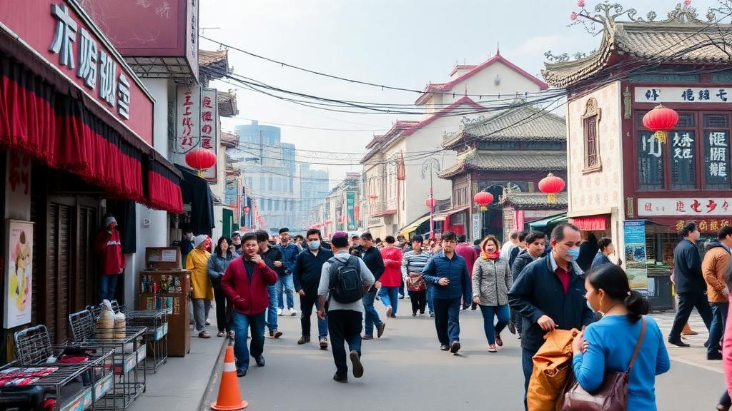
Hemorrhagic fever with renal syndrome, a rodent-borne viral disease caused by hantaviruses, has long been a persistent public health challenge in China, and the country’s mountainous, biodiversity-rich southwest has historically served as one of its endemic strongholds. A new modeling study published in Parasites & Vectors has now mapped where the disease is most likely to strike across this vast region, and its central finding is striking: the single most powerful predictor of transmission risk is not temperature, rainfall, or vegetation, but the sheer density of the human population. The work, led by Danjie Zhang and Zhiruo Zhu of China Medical University together with colleagues at the Chinese PLA Center for Disease Control and Prevention and partner institutions, suggests that as people cluster into expanding urban agglomerations, the epidemiology of this natural focal disease is being reshaped by human behavior rather than by the traditional environmental drivers that once dominated its distribution.
The research team drew on a decade of surveillance data, spanning 2014 to 2023, obtained from the China Information System for Disease Control and Prevention, the national backbone for notifiable infectious disease reporting in the country. These anonymized case records, collected through routine public health surveillance and therefore exempt from individual ethics review, provided the occurrence records needed to anchor a spatial model. To explain and predict where cases occur, the investigators assembled a multisource set of environmental variables covering three broad domains: meteorological factors such as temperature and precipitation, socioeconomic indicators including population density, and land cover characteristics captured through satellite-derived indices such as the Normalized Difference Vegetation Index, a standard remote-sensing measure of green vegetation vigor.
The analytical engine of the study was the Maximum Entropy model, universally abbreviated as MaxEnt, which has become one of the most widely used tools in ecological niche modeling. MaxEnt estimates the probability distribution of a species, or in this case a disease, by finding the distribution that is most spread out, or maximally entropic, while still remaining consistent with the known occurrence points and the environmental conditions measured at those locations. Its advantage for disease mapping lies in its ability to work with presence-only data, to handle complex non-linear relationships between predictors and risk, and to quantify the relative contribution of each environmental variable. In essence, the model asks: given the places where hemorrhagic fever with renal syndrome has been reported, what combination of climatic, ecological, and human conditions best characterizes those places, and where else in the landscape do those same conditions prevail?
Model performance was evaluated with the Area Under the Curve of the Receiver Operating Characteristic, a standard metric in which a value of 0.5 indicates predictions no better than random chance, while values approaching 1.0 indicate near-perfect discrimination between suitable and unsuitable areas. The MaxEnt model achieved a mean AUC of 0.902, a figure that places it firmly in the range conventionally regarded as excellent predictive accuracy. This robust performance means the resulting risk maps can be interpreted with reasonable confidence as genuine reflections of the disease’s ecological niche in the region, rather than statistical artifacts of sparse or noisy surveillance data.
The variable contribution analysis delivered the study’s most consequential result. Population density alone accounted for 73.5 percent of the model’s explanatory contribution, dwarfing every environmental factor. The next most important predictor was the Normalized Difference Vegetation Index measured in May, contributing 9.2 percent, followed by annual mean temperature at 5.8 percent. The prominence of May vegetation is biologically plausible: spring green-up in the mountainous southwest influences rodent food availability and population dynamics, which in turn shape the abundance of infected reservoir hosts such as Apodemus and Rattus species that shed hantavirus in their excreta. Yet the overwhelming dominance of a single anthropogenic variable marks a departure from many earlier hantavirus studies, in which climatic oscillations and land cover change typically claimed the largest shares of explained variation.
The spatial pattern that emerged from the model was described by the authors as a core aggregation with sporadic dispersion. High-risk zones concentrated overwhelmingly in the Chengdu-Chongqing urban agglomeration, one of the largest and fastest-growing megaregions in western China, with additional localized clusters scattered across Yunnan Province. This geography tells a coherent story. The Chengdu Plain and the Sichuan Basin combine fertile agricultural land, dense human settlement, and fragmented natural habitat at the interface where people, crops, storage facilities, and rodents meet. Yunnan’s clusters, by contrast, likely reflect the province’s extraordinary ecological diversity and its mosaic of forest, farmland, and rural settlements that sustain persistent enzootic viral cycles spilling over into human populations.
Response curves, which plot modeled suitability against each variable while holding others constant, revealed the functional shapes underlying these relationships. Population density showed a sigmoidal positive correlation with disease risk: risk rises slowly at low densities, then climbs steeply as human numbers increase, before potentially plateauing at very high densities. Temperature and precipitation behaved differently, exhibiting non-linear inverted U-shaped and U-shaped relationships respectively. Such hump-shaped curves are a hallmark of ecological tolerance limits: transmission is favored within an intermediate climatic window but suppressed at extremes, where conditions become either too cold and dry or too hot and wet for the virus, its rodent reservoirs, or the environmental persistence of infectious excreta. In this way, meteorological factors act less as primary engines of transmission and more as boundary-setters, constraining the spatial limits within which the human-driven amplification can unfold.
The authors interpret the dominance of population density through the lens of what they call the human behavior amplification effect in natural focal diseases. Dense human populations do not simply encounter more rodents; they generate the very conditions that favor contact. Urban fringes undergoing rapid construction disturb rodent habitat and drive displacement into human settlements. Agricultural intensification, food storage, waste streams, and informal housing provide abundant rodent resources. Occupational and recreational activities in peri-urban green spaces increase exposure to aerosolized virus from contaminated soil and dust. In effect, the anthropogenic signal in the model captures a web of behavioral and land-use pathways that traditional climate-only models have tended to miss, and it explains why incidence and endemic ranges are expanding even as the region’s fundamental climate remains comparatively stable.
The practical implications of the study point toward a strategic reorientation of prevention. Rather than applying blanket interventions across entire provinces, the authors advocate a shift to precision control: prioritizing active surveillance, rodent monitoring, and public health preparedness in densely populated urban fringes and in areas undergoing infrastructure development, where the model indicates risk is rising fastest. Targeted measures might include pre-construction rodent surveys, environmental management around new housing and industrial sites, and risk communication aimed at workers and residents in the highest-suitability zones. Because the model is built on a decade of data and open environmental layers, its framework can in principle be updated as urbanization proceeds, offering health authorities a dynamic rather than static picture of where the next cases are most likely to appear.
Caveats remain, as they do in all niche-modeling exercises. Surveillance-based occurrence records reflect where cases are detected, which is itself influenced by healthcare access and diagnostic capacity, factors that may correlate with population density and could inflate its apparent contribution. The study region’s complex topography also means that fine-scale microclimates and local rodent ecology may not be fully resolved by the environmental layers used. Nevertheless, the study’s core message stands on solid quantitative ground: in Southwest China, the future geography of hemorrhagic fever with renal syndrome is being written less by the weather than by the growth and movement of people themselves. For a disease that has historically been framed as a rural, environmentally determined zoonosis, that reframing carries real weight for how China, and other rapidly urbanizing regions with hantavirus circulation, plan the next decade of control.
Subject of Research: Ecological niche modeling of hemorrhagic fever with renal syndrome distribution in Southwest China
Article Title: Predicting the potential distribution of hemorrhagic fever with renal syndrome in Southwest China using the ecological niche modeling
Article References: Zhang, D., Zhu, Z., Wang, Y., Zhu, L., Zheng, Z., Qu, R., Shao, F., Chen, Q., Xu, Y., & Zhang, W. (2026). Predicting the potential distribution of hemorrhagic fever with renal syndrome in Southwest China using the ecological niche modeling. Parasites & Vectors. https://doi.org/10.1186/s13071-026-07631-7
Image Credits: AI Generated
DOI: 10.1186/s13071-026-07631-7
Keywords: hemorrhagic fever with renal syndrome, hantavirus, ecological niche modeling, MaxEnt, Southwest China, population density, rodent-borne disease, risk mapping, spatial epidemiology, NDVI, urbanization, public health surveillance
Cite Scienmag News
Kristina Jarvis. (October 6, 2026). Human Density, Not Climate, Drives Rodent-Borne Hemorrhagic Fever Risk in Southwest China. Scienmag. https://scienmag.com/human-density-not-climate-drives-rodent-borne-hemorrhagic-fever-risk-in-southwest-china/
Kristina Jarvis. "Human Density, Not Climate, Drives Rodent-Borne Hemorrhagic Fever Risk in Southwest China." Scienmag, 6 October 2026, https://scienmag.com/human-density-not-climate-drives-rodent-borne-hemorrhagic-fever-risk-in-southwest-china/. Accessed 6 October 2026.
Kristina Jarvis. "Human Density, Not Climate, Drives Rodent-Borne Hemorrhagic Fever Risk in Southwest China." Scienmag. October 6, 2026. https://scienmag.com/human-density-not-climate-drives-rodent-borne-hemorrhagic-fever-risk-in-southwest-china/


