


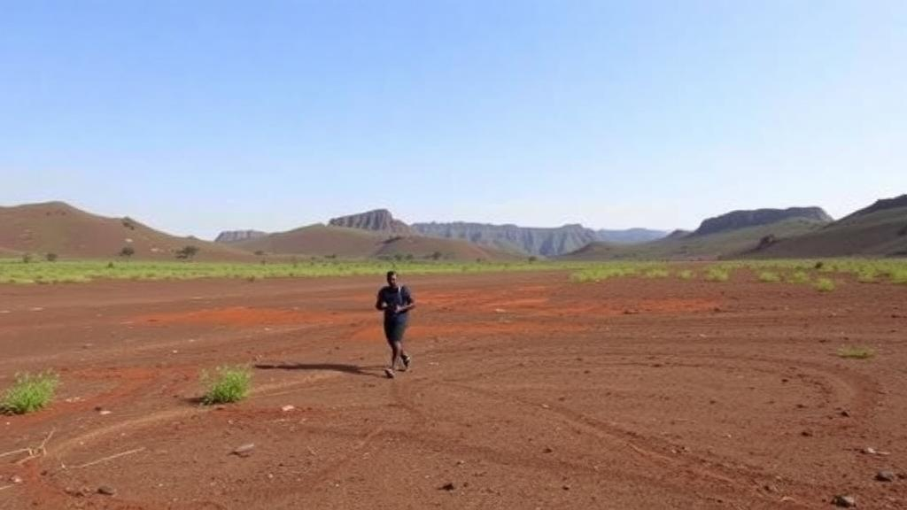
Deep in the Western Highlands of Cameroon, a volcanic landscape of extraordinary scientific richness is being measured, scored, and mapped with an ambitious goal in mind: UNESCO Global Geopark status. A new study published in Discover Geoscience presents the first comprehensive quantitative assessment of nineteen pilot geosites across the Noun Plain, a topographic depression of roughly 800 to 900 square kilometers that forms a key continental segment of the Cameroon Volcanic Line, a geological megastructure stretching more than 1,600 kilometers across both oceanic and continental domains. The research, led by Luc Achille Ziem à Bidias of the University of Yaoundé 1 and colleagues, combines rigorous multi-criteria scoring with a cultural framework the authors call Water and Fire, and it arrives with a warning: some of the region’s most remarkable geological records are being destroyed by quarrying faster than science can document them.
The Noun Plain is, in volcanological terms, a compressed textbook. Within a few tens of kilometers, phreatomagmatic maars formed where rising magma met groundwater, basaltic scoria cones built by Strombolian explosions, polygenetic volcanic complexes, and felsic intrusive domes all coexist in unusual spatial proximity. The basement consists of Pan-African granitic plutons and migmatitic gneisses, dissected by major tectonic fractures that channeled successive eruptions. Regional volcanism unfolded in three macro-phases: an early fissural effusive episode producing Tertiary flood basalts and rhyolites, a central phase constructing viscous rhyolitic domes and flows, and a final Plio-Quaternary explosive phase of synchronized Strombolian and phreatomagmatic events that sculpted the modern landscape. The erupted products trace a classic alkaline lineage from basanites and alkali basalts to trachytes and rhyolites, and recent petrological work on young pyroclastic deposits at Petpenoun and Baïgom has yielded clues about garnet-lherzolite mantle sources beneath the line.
To evaluate this heritage objectively, the team applied the Brilha methodology, a widely used quantitative framework that deliberately separates scientific value from potential educational and touristic use, and adds a degradation risk module. Scientific value was scored across seven criteria, with representativeness weighted at 30 percent, key locality at 20 percent, and integrity and rarity at 15 percent each, producing standardized scores from 100 to 400 points. Potential educational use emphasized accessibility and school-group suitability, while potential touristic use weighted landscape quality and accessibility at 15 percent each and explicitly credited the region’s Bamoun intangible cultural history. Degradation risk combined five factors, dominated by the vulnerability of geological components at 35 percent, alongside proximity to degrading activities, legal protection, accessibility, and population density. Nineteen geosites were classified into four morpho-volcanic categories: maars, scoria cones, polygenetic complexes, and felsic intrusive products.
The scientific headline is the Mbapit Massif, whose rhyolitic peak scored 395 for scientific value, the joint highest in the inventory. The massif is a composite volcano-plutonic complex reaching 1,988 meters, encompassing the South Volcano and the Mfou maar, and it provides outstanding morphological evidence of bimodal magmatism, the coexistence of mafic and felsic melts that marks a critical stage in the evolution of the Cameroon Volcanic Line. Equally significant are the Nkoambeng and Kechuentim scoria cone complexes, which scored 395 and 380 respectively. Their pyroclastic successions contain green-core clinopyroxenes, iron-rich crystal cores mantled by magnesium-rich rims, which microprobe analyses have shown to be direct petrographic evidence of deep magma mixing and mantle source heterogeneity. These small green-zoned crystals, invisible to casual visitors, record open-system magmatic processes operating beneath the African lithosphere, placing the Noun Plain on the global petrological map.
Lake Monoun, scoring 390 for scientific value, carries a darker and world-famous legacy. In 1984 the lake released a limnic eruption, a catastrophic burst of carbon dioxide that had accumulated in its deep waters, killing dozens of people and launching decades of international research on gas-charged crater lakes. The lake’s polygenetic maar structure, with internal walls exposing listric faults in the Pan-African basement, now doubles as an exceptional outdoor classroom, and its position near major roads makes it readily accessible to school groups. The study stresses that continued geochemical monitoring of Monoun remains essential, both as a hazard mitigation priority and as a living scientific record of one of the planet’s rarest natural phenomena.
Where the science peaks, so does the culture. Petpenoun, a rare volcanic dam formed when ancient Nkoambeng lava flows blocked the local river system to create twin lakes, earned the highest touristic score of the entire assessment at 395. Its geological origin maps directly onto the Bamoun Legend of the Twins, a mythological account of the lakes’ creation, and the site’s low degradation risk of 120 suggests this fusion of natural and cultural heritage is being conserved effectively. Lake Mfouet offers an even more striking example: its emerald waters serve as the permanent site of Bamoun community initiation rites, and that sacred status has achieved what formal law has not, holding degradation risk to just 180 in a region where legal protection is largely absent. The authors argue that such traditional taboos function as an invisible but highly effective governance tool.
The contrast with the study’s starkest numbers could not be sharper. The Njigoumbe intrusive dome, despite its scientific importance, recorded the maximum degradation risk of 400 in the entire inventory, driven by intense industrial quarrying, while the Chapchap cone scored 380 under combined pozzolan extraction and agricultural expansion. Nkoambeng itself faces a risk score of 360. These figures, the researchers write, expose a systemic failure in territorial management: geosites treated as material mines rather than non-renewable natural heritage. Their proposed remedy is a multi-use zonation strategy, with sanctuary zones fully protecting unique features such as the clinopyroxene-bearing outcrops, controlled buffer zones permitting limited artisanal extraction on less significant flows, and economic reorientation toward geotourism anchored at Petpenoun’s existing facilities.
To translate the scores into action, the team lays out a four-phase roadmap toward a UNESCO candidacy. Phase one secures national natural monument status for top-tier sites and delineates the Geopark perimeter. Phase two establishes a management body integrating regional administrators with traditional Bamoun authorities, paired with training programs for local youth. Phase three deploys multilingual interpretive signage in French, English, and Bamoun at hubs such as Mfoumben, an archetypal stratovolcano with the region’s highest educational score at 380, and Lake Monoun. Phase four links individual trails into a unified geocultural circuit, including a proposed bridge over the Noun River to connect the Neghop-Ghang and Mfouet clusters into a one-day itinerary, culminating in submission of the formal application to the UNESCO Secretariat. Training young Bamoun geoguides is central, converting volcanic landscapes into livelihoods that do not require their destruction.
The broader significance extends well beyond Cameroon. Africa remains dramatically underrepresented on the UNESCO Global Geopark list, and the Noun Plain study offers a replicable template for other under-documented volcanic regions: merge existing regional inventories, apply a standardized quantitative framework that decouples science from tourism, and build conservation on cultural foundations that already exist. The Water and Fire framework, pairing the plain’s hydrovolcanic lakes and maars with its scoria cones and magmatic intrusions, demonstrates how geodiversity can be structurally rooted in local identity rather than imposed from outside. If the roadmap succeeds, the plain where killer gases, green-cored crystals, and sacred twin lakes coexist could become Central Africa’s next World-class geoscience destination, proving that the most effective protection for geological heritage is sometimes written not in legislation but in legend.
Subject of Research: Quantitative geoheritage assessment of volcanic geosites in the Noun Plain, Cameroon, for UNESCO Global Geopark candidacy
Article Title: Quantitative assessment and valorization of the Noun Plain volcanic geoheritage in Cameroon for a UNESCO Global Geopark
Article References: Ziem à Bidias, L. A., Mouchili Nguegni, S., Kouske, A. P., Ilouga, D. C. I., Njeuatchoua Kameni, L. H., Nsangou, A., Kenna, H. S., Moundi, A., & Kamgang, P. (2026). Quantitative assessment and valorization of the Noun Plain volcanic geoheritage in Cameroon for a UNESCO Global Geopark. Discover Geoscience, 4(1), Article 328. https://doi.org/10.1007/s44288-026-00698-w
Image Credits: AI Generated
DOI: 10.1007/s44288-026-00698-w
Keywords: geoheritage, geotourism, UNESCO Global Geopark, Cameroon Volcanic Line, Noun Plain, maars, scoria cones, bimodal magmatism, magma mixing, Lake Monoun, Bamoun culture, geoconservation
Cite Scienmag News
Violet Maxwell. (October 6, 2026). Cameroon’s Noun Plain Emerges as a Candidate for UNESCO Global Geopark Status. Scienmag. https://scienmag.com/cameroons-noun-plain-emerges-as-a-candidate-for-unesco-global-geopark-status/
Violet Maxwell. "Cameroon’s Noun Plain Emerges as a Candidate for UNESCO Global Geopark Status." Scienmag, 6 October 2026, https://scienmag.com/cameroons-noun-plain-emerges-as-a-candidate-for-unesco-global-geopark-status/. Accessed 6 October 2026.
Violet Maxwell. "Cameroon’s Noun Plain Emerges as a Candidate for UNESCO Global Geopark Status." Scienmag. October 6, 2026. https://scienmag.com/cameroons-noun-plain-emerges-as-a-candidate-for-unesco-global-geopark-status/


