


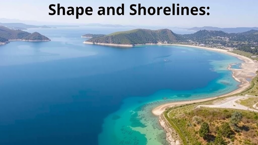
Greece’s lakes and reservoirs may look like serene blue dots on a Mediterranean map, but beneath their surfaces a quiet tug-of-war is underway between the physical architecture of each water body and the biological life it supports. A new nationwide study, drawing on a decade of monitoring data from 24 natural lakes and 26 reservoirs across the Greek territory, has for the first time quantified how hydromorphological conditions—the interplay of depth, water level, shoreline structure and surrounding land use—co-govern the ecological quality of Mediterranean freshwater systems. The findings, published in Environmental Management, suggest that the shape of a lake may matter as much as the pollution entering it.
The research team, led by Dionissis Latinopoulos of Democritus University of Thrace together with colleagues from Aristotle University of Thessaloniki, ESAIP in France, and the Greek Biotope/Wetland Centre (EKBY), built their analysis on data collected between 2012 and 2021 under the Greek National Water Monitoring Network. For every lake-year, they compiled ecological quality ratios for phytoplankton, macrophytes and benthic macroinvertebrates, alongside physicochemical measurements including total phosphorus, chlorophyll-a, Secchi disk transparency, dissolved oxygen, pH and nitrates. These biological and physicochemical quality elements are the building blocks of ecological status assessment under the European Union’s Water Framework Directive (WFD), the legislation that obliges member states to restore surface waters to good condition.
The scale of the challenge is considerable. Across Europe, 54 percent of surface waters are subject to significant hydromorphological pressures, and in Greece 45 percent of all lakes—covering 47 percent of the total lake area—exhibit such alterations, making them the second-largest source of pressure after diffuse pollution. Meanwhile, 58 percent of Greek lake water bodies fail to achieve good ecological status. Yet until 2012, parameters such as water abstraction and flow regulation were not even classified as hydromorphological pressures in Greece, and the connection between physical alteration and biological response had never been systematically evaluated for Mediterranean lakes.
To close that gap, the researchers began with an ambitious pool of candidate metrics—115 for natural lakes and 46 for reservoirs—and subjected them to a rigorous screening process. Spearman rank correlations removed redundant variables, box plots eliminated metrics with narrow ranges or extreme outliers, and transformations tamed skewed distributions. What survived was a compact toolkit: seven hydromorphological metrics for natural lakes and eleven for reservoirs, spanning maximum macrophyte colonization depth, shoreline modification, arable and non-natural land cover within a 100-meter buffer zone, mean depth, and absolute water level. This disciplined reduction was essential to avoid the multicollinearity that plagues large environmental datasets.
Redundancy analysis then revealed striking patterns. In natural lakes, mean depth emerged as the most statistically significant hydromorphological predictor, positively associated with the ecological quality of both phytoplankton and macrophytes. The interpretation is rooted in limnological theory: deeper lakes possess greater dilution capacity and stronger self-purification, buffering them against eutrophication stressors. Deep, transparent systems such as Amvrakia, Kourna and Trichonida clustered at one end of the main environmental gradient, while shallow, eutrophication-impacted lakes like Voulkaria, Zazari and Ismarida—each ringed by more than 69 percent arable land—sat at the opposite pole, marked by elevated chlorophyll-a and total phosphorus.
Land use told its own damning story. The percentage of non-natural land cover correlated negatively with benthic macroinvertebrate quality, and agricultural metrics tracked closely with nutrient concentrations and chlorophyll-a. The authors emphasize that agricultural land cover acts as a compound stressor: beyond the familiar route of fertilizer runoff, cultivated fields accelerate sediment delivery that smothers macrophyte beds and benthic habitats, while agricultural expansion typically strips away the riparian vegetation that stabilizes banks, filters diffuse pollutants and maintains the structural complexity of littoral zones. In other words, a plowed shoreline damages a lake through physics as much as through chemistry.
Reservoirs obeyed a different logic. Variation partitioning showed that land use variables within the 100-meter buffer zone dominated, explaining a unique fraction of 0.329 of the variance in quality elements—by far the strongest single signal. Intensive agriculture was the dominant gradient-structuring factor, fallow land cover the primary driver of the second axis, and water level a secondary but significant explanatory variable. Phytoplankton quality declined where intensive agriculture pressed against the water’s edge, while natural cover types such as shrubs, forest and low vegetation worked as counterweights. Unlike natural lakes, where water level and depth carried the greatest weight in individual regression models, reservoir quality emerged from a broader, more evenly distributed combination of landscape and hydrological factors, with no single variable exceeding roughly 38 percent relative contribution in any model.
Principal component analysis added a typological layer to the picture, sorting both natural lakes and reservoirs into four distinct groupings. For natural lakes, the clusters separated along gradients of water level elevation, mean depth and arable land share—one group united by more than 40 percent arable land in the buffer zone, another of low-elevation lakes, a third of shallow systems, and a fourth of high-elevation lakes defined jointly by depth and elevation. For reservoirs, the ratio of mean depth to lake area and the diversity of natural land cover types structured the ordination, distinguishing forested catchments from intensively farmed ones. These typological groupings matter because they hint that management prescriptions cannot be one-size-fits-all: a mountain reservoir surrounded by forest responds to different levers than a lowland lake hemmed in by wheat fields.
The study is candid about its limitations. The ratio of explanatory variables to water bodies fell below the conventional guideline of roughly ten observations per predictor, so the authors frame their identified gradients as exploratory rather than definitive. Corine Land Cover data at 25-hectare minimum mapping units may underrepresent fine-scale shoreline heterogeneity within 100-meter buffers, and ecological water level data exist for only five Greek natural lakes. Residual overlap between macrophyte-based metrics and the macrophyte quality index also cannot be fully eliminated. Still, the team argues that these constraints do not blunt the central message: hydromorphological functioning is a genuine mediator of ecological quality, not a background detail.
The policy implications are immediate. The authors propose that system-specific hydromorphological metrics—shoreline naturalness, mean depth, water level, and buffer-zone land use—should be woven into WFD assessment methods and ecohydrological management strategies, distinguishing natural lakes from reservoirs. They point to candidate metrics already used in Greek River Basin Management Plans, such as the proportion of perimeter under intensive land use, and suggest that remote sensing and higher-resolution land cover products such as the CLCplus Backbone could sharpen future monitoring. As climate change lengthens droughts and reshapes inflow patterns across the Mediterranean, the study’s core insight becomes more urgent: protecting a lake means protecting not only its water chemistry, but its very shape, shoreline and hydrological heartbeat.
Subject of Research: Quantifying how hydromorphological pressures and land use metrics influence the ecological quality of Mediterranean natural lakes and reservoirs in Greece.
Article Title: How Hydromorphological Pressures Co-govern Lake Water Quality in a Mediterranean Environment. A Study for Greek Natural Lakes and Reservoirs
Article References: How Hydromorphological Pressures Co-govern Lake Water Quality in a Mediterranean Environment. A Study for Greek Natural Lakes and Reservoirs. (n.d.). https://doi.org/10.1007/s00267-026-02627-6
Image Credits: AI Generated
DOI: 10.1007/s00267-026-02627-6
Keywords: hydromorphology, lake water quality, Mediterranean lakes, reservoirs, Water Framework Directive, eutrophication, land use, phytoplankton, macrophytes, ecological status, Greece, ecohydrological management
Cite Scienmag News
Sloane Callahan. (September 21, 2026). Shape and Shorelines: How Hydromorphology Governs Greek Lake Water Quality. Scienmag. https://scienmag.com/shape-and-shorelines-how-hydromorphology-governs-greek-lake-water-quality/
Sloane Callahan. "Shape and Shorelines: How Hydromorphology Governs Greek Lake Water Quality." Scienmag, 21 September 2026, https://scienmag.com/shape-and-shorelines-how-hydromorphology-governs-greek-lake-water-quality/. Accessed 21 September 2026.
Sloane Callahan. "Shape and Shorelines: How Hydromorphology Governs Greek Lake Water Quality." Scienmag. September 21, 2026. https://scienmag.com/shape-and-shorelines-how-hydromorphology-governs-greek-lake-water-quality/


