


Croatia sits on one of Europe’s most active tectonic boundaries, where the Adriatic microplate grinds against the Eurasian plate along the Dinaric fold-and-thrust belt. The region’s seismic history is sobering: the catastrophic 1667 Dubrovnik earthquake of roughly magnitude 7, the 1880 Zagreb earthquake of magnitude 6.3, and, after more than a century of relative quiet, the 29 December 2020 Petrinja earthquake of magnitude 6.4, which killed six people and exposed widespread vulnerability in the building stock of Sisak-Moslavina County. A new study now delivers the most comprehensive probabilistic seismic hazard analysis ever attempted for the country, and its findings carry direct consequences for how Croatian buildings are designed.
The research, published in the Bulletin of Earthquake Engineering, was led by Snježana Markušić of the University of Zagreb together with colleagues from the University of Zagreb’s Faculty of Geotechnical Engineering and the Croatian Geological Survey. The team used the OpenQuake Engine, developed by the Global Earthquake Model Foundation and now the de facto international standard for hazard computation, running it in classical mode to integrate earthquake occurrence models, ground motion prediction equations, and site characterisation into a single probabilistic framework. The result is a set of hazard maps covering peak ground acceleration and spectral accelerations between 0.1 and 2.0 seconds, computed on a 0.1-degree grid for seven return periods ranging from 95 to 2475 years.
The study’s principal scientific contribution lies not in the computational workflow but in the construction, justification, and validation of a Croatia-specific seismic source model. The model comprises 32 area source zones grouped into nine seismotectonic super-zones, spanning the country’s three major tectonic domains: the comparatively rigid Adriatic Foreland, the NW-SE trending Dinarides fold-thrust belt dominated by reverse and thrust faulting, and the Pannonian Basin in the north, a Miocene back-arc extensional basin where normal and strike-slip faulting prevail. Earthquake recurrence parameters for each zone were estimated with the Weichert maximum likelihood method, which allows completeness to vary by magnitude, and the entire model was validated against independent seismicity observations before being combined with ground motion models.
The earthquake catalogue underpinning the analysis merged three sources: the Croatian Earthquake Catalogue, the International Seismological Centre Bulletin, and the SHARE European Earthquake Catalogue. After careful deduplication, a single declustering pass using the Gardner-Knopoff algorithm with Grünthal space-time windows yielded 90,003 mainshocks, with 74.2 percent of all events identified as aftershocks and 10.9 percent as foreshocks. Crucially, the catalogue incorporates the 2020 Petrinja sequence, something the pan-European ESHM20 model, with its 2020 data freeze, could not capture. Magnitude of completeness was determined independently for each super-zone through a temporal rate-stability analysis, revealing marked differences between the well-monitored Dinarides, where completeness stabilises from the 1980s onward, and parts of the Pannonian-Bosnian domain where detection is still improving.
One of the study’s most distinctive methodological innovations concerns focal mechanisms. Rather than assigning a single dominant faulting style to each zone, as even continental-scale models typically do, the team derived zone-specific nodal plane distributions from the CroFMS 2024 catalogue of 410 focal mechanism solutions. Using Kagan-angle clustering with silhouette-optimised cluster selection and moment-tensor averaging, they represented the observed diversity of faulting within each zone as a weighted, multi-cluster distribution. In the Zagreb zone, for example, 51 mechanisms resolved into three clusters of reverse, strike-slip, and oblique-reverse character, none exceeding 40 percent weight. Because ground motion models typically shift median peak ground acceleration by 10 to 20 percent between reverse and strike-slip ruptures, collapsing such a mixture into a single mechanism would systematically bias hazard estimates.
The ground motion characterisation was equally rigorous. From an initial candidate set of 19 models evaluated against a regional Croatian strong-motion dataset, five were selected and weighted using a combined ranking based on the Deviance Information Criterion and the Euclidean Distance-Based Ranking method, with meta-weights of 0.80 and 0.20 respectively. The top-ranked model, Kowsari et al. 2020 Model Y5, calibrated on a pan-European and Mediterranean dataset that closely matches Croatian strong-motion characteristics, was not available in OpenQuake’s library, so the team implemented it as a custom Python module validated to within 1 percent of published median predictions. Hazard was computed on a spatially varying, real ground-surface site model built from 733,761 site locations, capturing local soil amplification directly rather than defaulting to Eurocode 8’s uniform reference-rock condition.
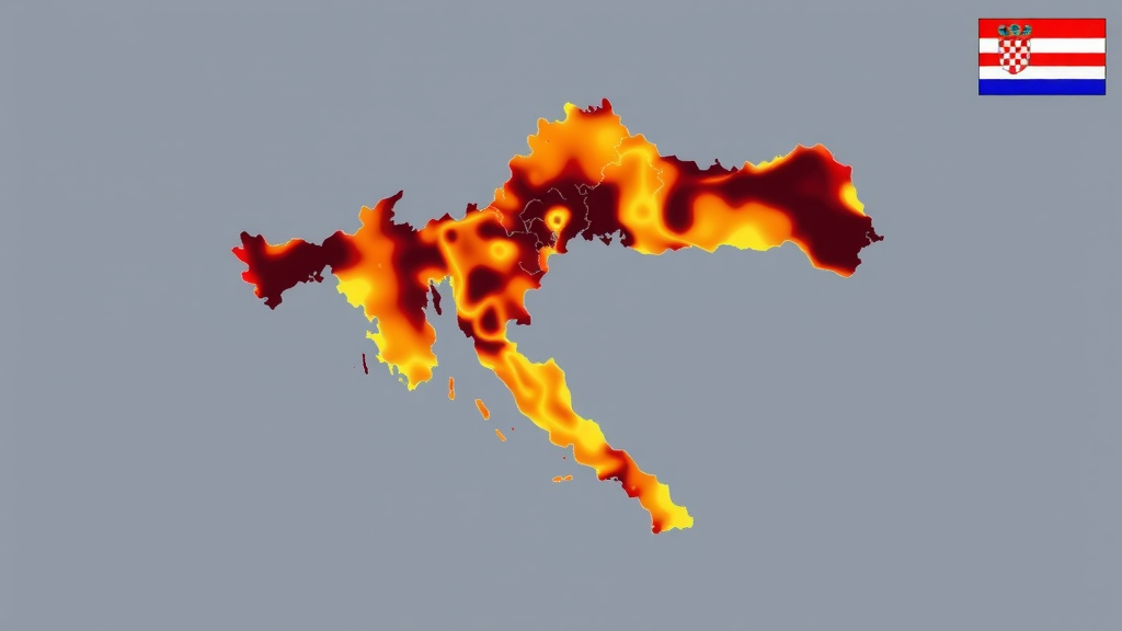
The resulting hazard maps reveal a striking spatial pattern. Hazard peaks along the Adriatic coast, with the Dubrovnik-Neretva coast identified as the highest-hazard zone in the country at every intensity measure and return period. At Dubrovnik, 475-year peak ground acceleration reaches 0.40 g, with spectral acceleration at 0.2 seconds reaching 0.94 g, and 2475-year values climbing to 0.85 g and 2.00 g respectively. Split follows at 0.32 g and Rijeka at 0.27 g for the 475-year return period. Perhaps counterintuitively, the Sisak-Moslavina area, despite hosting the destructive 2020 Petrinja sequence, falls only in the moderate tier at approximately 0.22 g, while Osijek in the low-seismicity Pannonian domain records the country’s lowest values at just 0.08 g, roughly one-fifth of the coastal maximum.
The most consequential finding, however, emerges from a systematic comparison with the Eurocode 8 design spectra in Croatia’s National Annex. The comparison revealed a previously undocumented, period-dependent discrepancy: probabilistic hazard spectra exceed code values at short periods but fall below them at longer periods. At the peak ground acceleration level, the new hazard estimates exceed the National Annex anchor values by 31 to 46 percent at four of the six representative cities, Petrinja, Rijeka, Split, and Dubrovnik, consistent with real-surface site amplification exceeding the implicit reference-rock basis of the current zonation. Yet at a spectral period of 1.0 second, the ratio drops below unity at every city without exception, meaning the current Eurocode 8 Type 1 spectrum decays more slowly beyond its 0.4-second corner period than the hazard analysis suggests is warranted, making the code comparatively more conservative for longer-period structures such as tall buildings and bridges.
The authors are careful to position the work as a scientific foundation rather than a statutory document. It does not set design values or follow the formal drafting procedure a National Annex requires, but it offers exactly the kind of transparent, independently reproducible basis that national standardisation bodies can draw upon, much as earlier studies informed the current first-generation Annex. The findings arrive at a pivotal moment, as Croatia prepares to implement the second generation of Eurocode 8, published in 2024, which introduces revised spectral shape parameterisation allowing country-specific corner periods, a unified European reference hazard model, and new ground-type classifications. The study’s results on the period-dependent scaling of hazard between the 475-year and 2475-year return periods, which ranges from roughly 2.0 at short periods to 2.87 at 2.0 seconds, also suggest that a single uniform importance factor for essential structures may not capture the full site and period dependence of rare-event hazard.
Limitations remain, and the authors flag them candidly. The source model relies solely on area sources, with explicit fault sources for major structures such as the Petrinja and Pokupsko faults deferred to the next model generation, since a defensible hybrid model would require slip-rate data that do not yet exist for the faults responsible for Croatia’s largest earthquakes. The site model depends partly on inferred values, and the strong-motion database used for ground motion ranking is still relatively small. A sensitivity check on maximum magnitude assignment revealed that this single parameter can matter more than the ground motion or b-value branches that typically receive the most logic-tree attention, particularly at the 2475-year hazard level used for essential-facility design. With its open, reproducible input package and validated source model, the study provides both a warning and a toolkit: Croatia’s design spectra need period-dependent recalibration, and the scientific machinery to accomplish it now exists.
Subject of Research: Probabilistic seismic hazard analysis and earthquake hazard mapping for Croatia with implications for Eurocode 8 seismic design
Article Title: Probabilistic seismic hazard analysis for Croatia: hazard mapping and Eurocode 8 implications
Article References: Markušić, S., Stanko, D., Žilić, I., Fiket, T., Majurec, A., & Korbar, T. (2026). Probabilistic seismic hazard analysis for Croatia: hazard mapping and Eurocode 8 implications. Bulletin of Earthquake Engineering. https://doi.org/10.1007/s10518-026-02691-7
Image Credits: AI Generated
DOI: 10.1007/s10518-026-02691-7
Keywords: probabilistic seismic hazard analysis, Croatia, Eurocode 8, OpenQuake Engine, seismic hazard maps, Dinarides, Adriatic coast, Petrinja earthquake, ground motion models, uniform hazard spectra, seismic source model, site amplification
Cite Scienmag News
Violet Maxwell. (September 20, 2026). New Earthquake Hazard Map Reveals Croatia’s Design Codes May Miss the Mark. Scienmag. https://scienmag.com/new-earthquake-hazard-map-reveals-croatias-design-codes-may-miss-the-mark/
Violet Maxwell. "New Earthquake Hazard Map Reveals Croatia’s Design Codes May Miss the Mark." Scienmag, 20 September 2026, https://scienmag.com/new-earthquake-hazard-map-reveals-croatias-design-codes-may-miss-the-mark/. Accessed 20 September 2026.
Violet Maxwell. "New Earthquake Hazard Map Reveals Croatia’s Design Codes May Miss the Mark." Scienmag. September 20, 2026. https://scienmag.com/new-earthquake-hazard-map-reveals-croatias-design-codes-may-miss-the-mark/


