


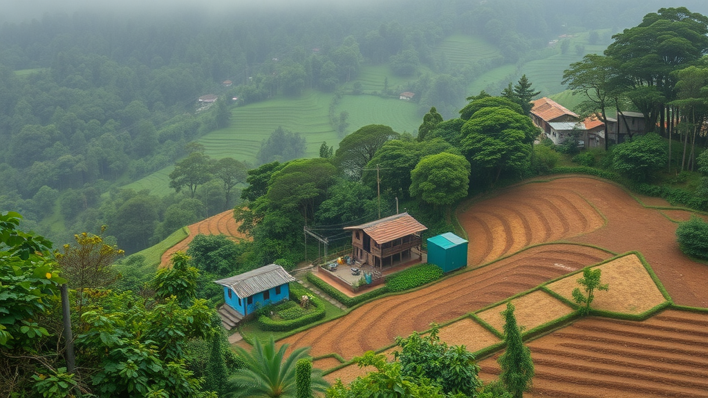
In the steep, rain-lashed hills surrounding Namchi in the southern part of Sikkim, India, the ground is quietly on the move. Each year, monsoon storms that dump nearly 3,700 millimetres of rain on the region dislodge soil particles, send them tumbling downslope and deliver them into rivers that feed some of the most sediment-hungry drainage systems on Earth. A new quantitative assessment of this dynamic landscape has now put hard numbers on the problem, mapping where the Sikkim Himalaya loses soil fastest and revealing a surprising nuance: despite some of the fiercest rainfall in the Indian subcontinent, the area around Namchi is actually less vulnerable to erosion than many other stretches of the Indian Himalaya, largely thanks to the region’s dense forest canopy.
The study, conducted by Prodip Mandal and Mayank Joshi of the Govind Ballabh Pant National Institute of Himalayan Environment and Siddharth Prizomwala of the Institute of Seismological Research, applied the Revised Universal Soil Loss Equation, widely known as RUSLE, to a 75.52 square kilometre area around the rapidly growing district of Namchi. Their results, published in the journal Discover Geoscience, estimate an average annual soil loss of 39.10 tonnes per hectare per year, with localized hotspots reaching up to 138.62 tonnes per hectare per year. While those figures far exceed the global average erosion rate of roughly 2.4 tonnes per hectare per year, they are modest compared with rates exceeding 800 tonnes per hectare per year recorded in parts of India’s Northeastern Himalaya, where shifting cultivation and deforested wastelands leave slopes fully exposed.
RUSLE is an empirical model originally developed by the United States Department of Agriculture that computes average annual soil loss as the product of five factors: rainfall erosivity, soil erodibility, slope length and steepness, land-cover management, and conservation practices. Its enduring appeal lies in its adaptability. Because each factor can be derived from remotely sensed data and processed within a geographic information system, the model works well in data-scarce mountain regions where rain gauges with sub-hourly intensity measurements and detailed field soil surveys simply do not exist. That is precisely the situation in much of the Sikkim Himalaya, a tectonically young fold mountain belt built of weakly consolidated rocks from the Daling Group, threaded with active faults and hammered by prolonged monsoonal rainfall that makes the region a natural hotspot for erosion and landslides alike.
To build each factor layer, the researchers assembled a mix of datasets. Rainfall erosivity, which captures the capacity of falling rain to detach and transport soil particles, was estimated from daily rainfall records at six stations in and around the study area using an empirical relationship suited to Indian conditions, yielding values between 717.47 and 826.03 megajoule millimetres per hectare per hour per year, highest in the wetter southern portion of the map. Soil erodibility was computed with the EPIC equation from sand, silt, clay and organic carbon contents drawn from the ISRIC Soil Grids database, producing values between roughly 0.0137 and 0.0156, with the more erodible soils at higher elevations where organic carbon is abundant. The topographic factor, combining slope length and steepness, was derived from a 12.5-metre ALOS PALSAR digital elevation model and reached values as high as 19.05 in dissected terrain near drainage channels.
The remaining two factors encode human influence on the land surface. The cover management factor, ranging from 0.004 to 1.0, was assigned to five land-use classes mapped from European Space Agency satellite imagery acquired in October 2024 and refined with high-resolution imagery from Google Earth: dense forest, moderately dense forest, sparse forest, agricultural land and built-up areas. Forested slopes, where canopy intercepts raindrops and roots bind the soil, received the lowest values, while bare and open land received the highest. The conservation support practice factor, spanning 0.55 to 1.0, reflects measures such as terracing, contour farming and retaining walls that locally slow runoff. When the five layers were multiplied together in raster format and the resulting erosion values classified with the Jenks natural breaks method, the picture that emerged was strikingly uneven: 89.52 percent of the study area falls in the low-risk class, 6.52 percent in the moderate class and only 3.96 percent in the high-risk class.
Where does the sediment actually come from? The answer, overwhelmingly, is the steepest farmland. Among land-use classes, agricultural land and open land showed the highest erosion rates, peaking at 138.62 tonnes per hectare per year, whereas dense forest lost only 21.53 tonnes and moderately dense forest 20.23 tonnes per hectare per year. Together, dense and moderately dense forest blanket more than 55 percent of the study area, and the analysis makes clear that this vegetation is the single most important brake on soil loss, absorbing raindrop kinetic energy and reducing runoff velocity before it can carve rills into hillsides. Interestingly, the urban core of Namchi itself recorded relatively low erosion of 85.76 tonnes per hectare per year, an unexpected finding the researchers attribute to impervious concrete surfaces and the retaining walls residents build to protect hillside properties, which shield the soil from direct raindrop impact even as construction churns the surrounding periphery.
Slope proved equally decisive. The highest erosion rates occurred on slopes between 35 and 50 degrees, where gravity accelerates runoff and shallow, weakly stable soils sit atop fragile Himalayan bedrock. Somewhat counterintuitively, the steepest slopes of all, above 50 degrees, showed the lowest measured rates at just 6.33 tonnes per hectare per year, because exposed hard rock and difficult access limit both soil availability and human interference there. The geographic pattern also follows the rain: the southern part of the study area, closer to the moisture-laden winds arriving from the Bay of Bengal, receives more rainfall and more sunshine on its south-facing slopes, and consequently loses more soil than the northern segment.
Seeking to understand what drives these patterns, the team extracted six topographic and hydrological factors from the digital elevation model, including elevation, slope, aspect, relative relief, topographic wetness index and drainage density, and examined their pairwise relationships with Pearson correlation coefficients after checking for multicollinearity. Elevation showed weak but statistically significant positive correlations with slope, relative relief and drainage density, and a weak negative correlation with the topographic wetness index, which is higher in low-lying zones where moisture accumulates and deposition rather than erosion dominates. Aspect correlated positively with slope and relief, and the strongest relationship in the matrix linked rainfall erosivity with drainage density, underscoring how climatic forcing and landscape dissection interact to concentrate erosion along densely channelled terrain. Overall, relative relief and slope emerged as the most influential contributors to soil loss in the region.
The implications reach well beyond geomorphology. The authors frame their findings against the United Nations Sustainable Development Goals, noting that erosion degrades spring catchments that mountain communities depend on for drinking water, undermining SDG 6 on clean water; strips fertile topsoil from farms, deepening rural inequality under SDG 10; and threatens the sustainability of fast-growing Himalayan towns under SDG 11. Because erosion here is most severe during the monsoon, targeted interventions such as contour farming, terracing and slope protection on the moderate-to-steep agricultural slopes of the southern study area could deliver outsized benefits. Prior studies cited in the work suggest that well-implemented conservation practices can cut erosion by a factor of 2.5 to 7, and the Namchi results hint that even informal measures by local residents already mute erosion around settlements.
The study is candid about its limits. Empirical erosivity equations built on daily rainfall cannot fully capture the short, violent cloudbursts that characterize early-monsoon events in the Eastern Himalaya and frequently trigger landslides, and globally generalized soil databases may smooth over local heterogeneity in the rugged terrain. Climate change, intensifying extreme precipitation and accelerating infrastructure development are all expected to shift erosion rates in ways the current model does not project. Even so, the team argues that RUSLE, paired with freely available satellite data, offers a practical blueprint for other data-scarce Himalayan districts: by identifying exactly which slopes, land uses and aspect zones bleed soil fastest, it gives planners a prioritized map for conservation investment in one of the most erosion-prone mountain belts on the planet.
Subject of Research: Quantitative assessment of monsoon-driven soil erosion using the RUSLE model in the Sikkim Himalaya
Article Title: RUSLE-based quantitative soil erosion assessment in the monsoon-dominated region of Sikkim Himalaya
Article References: Mandal, P., Joshi, M., & Prizomwala, S. (2026). RUSLE-based quantitative soil erosion assessment in the monsoon-dominated region of Sikkim Himalaya. Discover Geoscience, 4(1), Article 348. https://doi.org/10.1007/s44288-026-00706-z
Image Credits: AI Generated
DOI: 10.1007/s44288-026-00706-z
Keywords: soil erosion, RUSLE, Sikkim Himalaya, monsoon rainfall, land use, slope classes, soil conservation, GIS and remote sensing, Namchi, rainfall erosivity, forest cover, sustainable development goals
Cite Scienmag News
Violet Maxwell. (September 12, 2026). Forest Cover Shields Sikkim Himalayan Soils as Monsoon Rains Strip Steep Farmland. Scienmag. https://scienmag.com/forest-cover-shields-sikkim-himalayan-soils-as-monsoon-rains-strip-steep-farmland/
Violet Maxwell. "Forest Cover Shields Sikkim Himalayan Soils as Monsoon Rains Strip Steep Farmland." Scienmag, 12 September 2026, https://scienmag.com/forest-cover-shields-sikkim-himalayan-soils-as-monsoon-rains-strip-steep-farmland/. Accessed 12 September 2026.
Violet Maxwell. "Forest Cover Shields Sikkim Himalayan Soils as Monsoon Rains Strip Steep Farmland." Scienmag. September 12, 2026. https://scienmag.com/forest-cover-shields-sikkim-himalayan-soils-as-monsoon-rains-strip-steep-farmland/


