


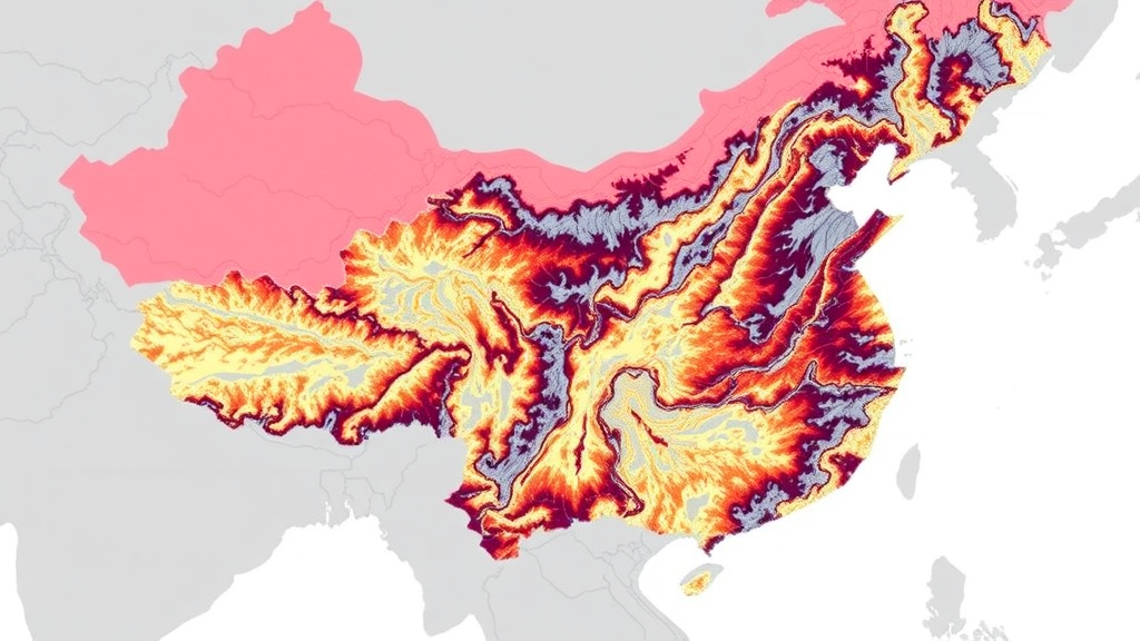
Floods are no longer rare emergencies in the world’s densely populated river deltas; they are recurring tests of how well cities can anticipate, absorb, and recover from water that arrives faster than drainage systems can cope. A new study published in the journal Natural Hazards argues that the science of flood management has been measuring only half of that test. Researchers led by Weiwen Yu of Shandong Normal University, together with Mingjun Jiang, Xiaofang Wang, Le Yin, and Baolei Zhang, have built an integrated assessment framework that couples flood risk with flood resilience, then maps where the two diverge. Applying the framework to China’s Yangtze River Delta, one of the most urbanized and economically productive regions on Earth, the team found that the places facing the greatest flood danger are often not the places least able to withstand it, and that these spatial mismatches demand fundamentally different management strategies from those now in widespread use.
The core problem the researchers identify is structural. For decades, flood risk identification and resilience assessment have been treated as separate exercises, typically published in parallel literatures, using different indicator sets, and feeding into different branches of policy. Risk mapping tells planners where hazard, exposure, and vulnerability converge; resilience assessment tells them how quickly a community or infrastructure network can bounce back after an event. But because the two are rarely analyzed together, management strategies can develop internal contradictions: a city may invest heavily in defenses for high-risk zones while neglecting the recovery capacity of those same zones, or bolster resilience in areas where the hazard itself is comparatively modest. Climate change and rapid urbanization have intensified both the frequency and the severity of flood disasters, and the study argues that this segmented approach now generates structural inconsistencies that undermine regional resilience.
To close that gap, the team developed a full-cycle framework in which flood resilience is embedded directly into flood risk management rather than appended to it. The quantitative engine of the framework is the extension catastrophe progression method, or ECPM, a multi-criteria evaluation technique derived from catastrophe theory. Catastrophe progression methods are well suited to problems where several indicator systems must be combined without arbitrary weighting, because they use the mathematical structure of catastrophe models to aggregate indicators in a standardized way. The extension component widens the set of relationships the method can handle, allowing the researchers to score flood risk and flood resilience across the study region on comparable scales. Validation drew on receiver operating characteristic analysis, with the area under the curve used to test how well the modeled risk surfaces discriminated between locations with and without recorded flood problems.
The indicator architecture is deliberately comprehensive. Flood risk was evaluated across hazard, exposure, and vulnerability dimensions, incorporating variables such as the concentration index of daily precipitation, which captures how violently rainfall is packed into short episodes, along with the concentration index of monthly precipitation, typhoon frequency, distance to rivers, digital elevation model data, land-use type, population density, and gross domestic product density. Resilience was organized around a pressure-state-response logic and drew on concepts from the sustainable livelihoods framework, adding indicators such as road density, railway density, and distance to hospitals to represent the infrastructure and service capacity that determines how quickly a flooded area can be served, evacuated, and rebuilt. All layers were assembled in a geographic information system so that every indicator could be mapped, overlaid, and compared cell by cell across the delta.
The study region is the Yangtze River Delta, an urban agglomeration in eastern China where megacities such as Shanghai, Nanjing, Hangzhou, and Suzhou sit on low-lying ground threaded by rivers and canals and exposed to typhoons arriving from the western Pacific. The region’s eastward slope toward the coast, its extraordinary concentration of population and economic assets, and its history of compound flooding driven by both rainfall and storm surge make it an ideal laboratory for a risk-resilience coupling analysis. It is also a region where urbanization has reshaped the hydrological cycle itself, sealing surfaces, channelizing rivers, and amplifying the intensity of extreme precipitation events, trends documented extensively in prior research on Chinese deltas.
The headline findings are striking. Flood risk in the delta rises from west to east, with high-risk and highest-risk zones together covering 58.0 percent of the region. Resilience displays a broadly similar eastward gradient, with high and highest resilience areas accounting for 73.9 percent of the territory. At first glance that symmetry might look reassuring, but the joint analysis reveals that the match is far from uniform. When the two surfaces are crossed, the largest zoning category is high risk paired with high resilience, covering 35.60 percent of the delta, meaning that more than a third of the region faces serious flood danger but possesses substantial capacity to cope and recover. The most alarming category is the inverse: high-risk, low-resilience areas account for 12.35 percent of the region and are concentrated mainly in highly urbanized districts, where dense built environments, high exposure, and constrained drainage combine to produce danger without adequate defensive depth.
These zoning categories are not merely cartographic curiosities; they translate directly into differentiated prescriptions. In high-risk, high-resilience zones, the priority is to protect and maintain existing coping capacity while monitoring whether intensifying hazards gradually erode it. In high-risk, low-resilience zones, the framework calls for simultaneous risk reduction and resilience enhancement, combining engineered defenses with investments in emergency services, transport redundancy, and social preparedness. Areas of low risk but high resilience can absorb redirected resources with lower urgency, while low-risk, low-resilience zones represent latent vulnerabilities where relatively modest, early investments could prevent future mismatches from forming. The authors frame this as precision flood management, an analogy to precision medicine in which treatment is tailored to the specific profile of each zone rather than applied uniformly across the region.
The study’s methodological contribution lies in showing that the coupling itself carries information that neither risk maps nor resilience maps provide alone. A resilience score of 73.9 percent for the delta sounds impressive until it is laid over a risk surface showing that 58.0 percent of the same territory faces high or highest danger; the residual mismatch, concentrated in exactly the fast-growing urban cores where people and assets pile up, is where the next generation of flood losses is most likely to accumulate. By quantifying the overlap and the divergence, the framework gives governments a diagnostic tool for identifying which districts need protection, which need recovery capacity, and which need both at once, moving flood governance away from one-size-fits-all defense spending toward targeted, evidence-based regulation.
The implications extend well beyond the Yangtze River Delta. Rapidly urbanizing deltas across Asia, Africa, and the Americas face the same collision of intensifying hydro-climatic hazards and constrained adaptive capacity, and many lack any systematic way to see where their risk and resilience profiles have slipped out of alignment. The integrated framework, validated with ROC analysis and grounded in openly available indicator data, offers a replicable template for regional and city-level assessments elsewhere. As extreme precipitation becomes more concentrated and tropical cyclones reach further inland under a warming climate, the study suggests that the most dangerous places will not necessarily be those with the highest flood risk on paper, but those where high risk and low resilience coincide, hidden in plain sight until a coupled analysis makes the divide visible.
Subject of Research: An integrated flood risk and resilience coupling framework applied to the Yangtze River Delta to identify spatial mismatches for precision flood management
Article Title: Bridging the divide: an integrated risk-resilience coupling framework to decode spatial mismatches for precision flood management
Article References: Yu, W., Jiang, M., Wang, X., Yin, L., & Zhang, B. (2026). Bridging the divide: an integrated risk-resilience coupling framework to decode spatial mismatches for precision flood management. Natural Hazards, 122(19), Article 639. https://doi.org/10.1007/s11069-026-08401-5
Image Credits: AI Generated
DOI: 10.1007/s11069-026-08401-5
Keywords: flood risk, flood resilience, Yangtze River Delta, extension catastrophe progression method, spatial mismatch, precision flood management, urbanization, climate change, natural hazards, GIS, disaster risk reduction, resilience assessment
Cite Scienmag News
Violet Maxwell. (September 12, 2026). New Risk–Resilience Framework Maps Flood Mismatches Across China’s Yangtze River Delta. Scienmag. https://scienmag.com/new-risk-resilience-framework-maps-flood-mismatches-across-chinas-yangtze-river-delta/
Violet Maxwell. "New Risk–Resilience Framework Maps Flood Mismatches Across China’s Yangtze River Delta." Scienmag, 12 September 2026, https://scienmag.com/new-risk-resilience-framework-maps-flood-mismatches-across-chinas-yangtze-river-delta/. Accessed 12 September 2026.
Violet Maxwell. "New Risk–Resilience Framework Maps Flood Mismatches Across China’s Yangtze River Delta." Scienmag. September 12, 2026. https://scienmag.com/new-risk-resilience-framework-maps-flood-mismatches-across-chinas-yangtze-river-delta/


