

A New Global Map of Earth’s Ionosphere Could Make Satellite Navigation More Resilient
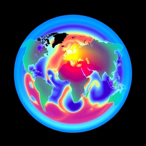
A new modeling system that combines signals from navigation satellites with observations from a Chinese weather satellite has produced a sharper picture of the electrically charged region surrounding Earth. The approach, described by researchers from China University of Geosciences in Beijing, uses measurements from ground-based Global Navigation Satellite System receivers and radio occultation data collected by the FengYun-3E satellite. The result is a global model of total electron content, or TEC, designed to track how the ionosphere changes across space and time, including during geomagnetic storms. In tests, adding the satellite observations reduced modeling errors in the South Atlantic by as much as 3.77 TEC units during storm conditions, a result that could improve the reliability of technologies that depend on radio signals passing through the upper atmosphere.
The ionosphere begins roughly 60 kilometers above Earth and extends hundreds of kilometers into space. It is created when ultraviolet and X-ray radiation from the Sun strips electrons from atmospheric molecules and atoms, producing a mixture of free electrons and positively charged ions. Although the ionosphere is extremely thin compared with the lower atmosphere, it strongly affects radio propagation. Satellite-navigation signals, such as those used by GPS and other GNSS constellations, must travel through this plasma before reaching receivers on the ground. Variations in the number of electrons along the signal path change the signal’s travel time and can introduce errors in the calculated position. The larger the electron population, the greater the delay, particularly for lower-frequency signals.
TEC is a way to quantify that electron population. One TEC unit, or TECU, corresponds to 10¹⁶ free electrons in a column with a cross-sectional area of one square meter. A GNSS receiver can estimate TEC by comparing the phase and timing of signals transmitted at different frequencies, because the ionosphere affects those frequencies in different ways. Networks of receivers on the ground provide highly accurate observations, but their coverage is uneven. Stations are concentrated across populated regions and landmasses, leaving large gaps over oceans and in remote areas. A global map made from ground data alone must therefore interpolate across regions where direct observations are scarce. The new study uses FY-3E radio occultation measurements to help fill those gaps.
Radio occultation works by observing GNSS signals as they pass through the atmosphere and ionosphere toward a satellite receiver. As the satellite moves, the signal cuts through different layers of the charged atmosphere. Changes in the signal’s phase and frequency reveal how the electron density varies along the path. Unlike a ground station, a satellite in orbit can sample regions far from infrastructure and can collect profiles over oceans, deserts and polar areas. FY-3E is particularly notable because it is described as the first civilian meteorological satellite operating in a morning-twilight orbit. Its GNOS II instrument receives navigation signals for remote sensing, adding an independent space-based perspective to the ground network. But those observations are not automatically compatible with conventional ionospheric maps.
The researchers first addressed nonlinear biases in FY-3E radio occultation TEC. In this context, a bias is a systematic difference between a measurement and a trusted reference, rather than random noise that averages away. Nonlinear biases can vary according to when and where an observation is made and according to the state of the Sun and Earth’s magnetic environment. The team trained a multichannel Transformer model using 2024 data. Transformers are machine-learning architectures originally developed for processing sequences, but they can also learn relationships among many variables by using an attention mechanism. Instead of treating each input independently, the model can assign different weights to information from different times, locations and physical conditions.
For the correction model, the researchers supplied temporal, spatial, solar and geomagnetic parameters. Temporal information can capture regular daily and seasonal behavior in the ionosphere, while geographic coordinates account for the uneven distribution of plasma across latitude and longitude. Solar indicators describe the radiation environment that drives ionization, and geomagnetic parameters represent disturbances caused by interactions between the solar wind and Earth’s magnetic field. The model learned how these factors were associated with discrepancies between FY-3E occultation TEC and global ionosphere map TEC, or GIM-TEC. The corrected observations were then used alongside GNSS data rather than being treated as a separate information stream.
The improvement was substantial in the study’s evaluation. Before bias correction, FY-3E radio occultation TEC measurements from 2025 differed from GIM-TEC by a root mean square error of 5.92 TECU and a mean absolute error of 4.88 TECU. RMSE combines the size of errors while giving extra weight to larger deviations; MAE measures the average absolute difference and is easier to interpret as a typical error. After the Transformer correction, RMSE fell to 4.26 TECU and MAE to 2.94 TECU. The researchers report that these values correspond to reductions of about 28 percent and 40 percent, respectively. The result suggests that the satellite data contained useful global information, but that its value depended on first learning and removing systematic measurement effects.
The corrected FY-3E observations were fused with ground-based GNSS TEC using spherical harmonic functions. Spherical harmonics are mathematical functions defined on a sphere, making them suitable for representing broad global patterns on Earth. A model expresses the ionosphere as a weighted combination of these functions, with the coefficients estimated from available measurements. Low-order terms describe large-scale structures, while higher-order terms capture finer spatial variations, although adding too much detail can amplify noise when data coverage is sparse. By inserting radio occultation measurements into the fit, the researchers gave the model additional constraints in areas where ground stations are limited. The system was then assessed under both geomagnetically quiet conditions and during a storm.
The strongest gains appeared over the South Atlantic, an area that includes the South Atlantic Anomaly and is already important to studies of the near-Earth radiation environment. Under quiet geomagnetic conditions, incorporating FY-3E occultation TEC reduced the regional RMS error by as much as 1–2 TECU. During a geomagnetic storm, the reduction reached 3.77 TECU. Storms can reorganize the ionosphere rapidly: energy deposited near the poles drives atmospheric winds and electric currents, while traveling disturbances redistribute plasma over broad areas. These changes can undermine models built mainly from smoothly varying background patterns. The results indicate that space-based observations may be especially valuable when the ionosphere departs sharply from its usual behavior, although the reported improvements apply to the study’s selected data and evaluation period rather than guaranteeing the same performance everywhere.
More accurate TEC maps could support several systems that depend on precise radio positioning and communication. GNSS corrections are used in surveying, precision agriculture, aircraft operations, maritime navigation and scientific measurements of Earth’s surface. During disturbed space-weather conditions, ionospheric irregularities can cause signal delays, rapid phase fluctuations and, in severe cases, loss of lock by a receiver. A model that better represents electron content over poorly instrumented regions could help users distinguish ionospheric errors from hardware or atmospheric problems. It could also contribute to space-weather monitoring by turning navigation signals into a distributed sensor network. The study does not claim to eliminate ionospheric uncertainty, however: its model still depends on the quality and distribution of input observations, and the satellite bias correction must remain reliable as conditions change.
The work also illustrates a broader shift in ionospheric science toward data fusion. Ground GNSS networks provide dense, continuous measurements where stations exist, while radio occultation satellites offer wider geographic reach and repeated sampling along orbital tracks. Machine learning can help reconcile the different error characteristics of those sources, while physical and mathematical models impose a coherent global structure. The researchers acknowledge data from the International GNSS Service, the Fengyun Satellite Remote Sensing Data Service Network and NASA’s space-physics data resources for solar-wind and geomagnetic information. Because the ionosphere responds simultaneously to local time, latitude, solar radiation, geomagnetic activity and atmospheric dynamics, combining these complementary observations may be more effective than relying on any single source. The next challenge is to determine how well the method performs across additional years, latitudes and levels of solar activity.
Cite Scienmag News
Wesley B. (August 29, 2026). Global Ionospheric TEC Model Developed Using GNSS and FY-3E Data. Scienmag. https://scienmag.com/global-ionospheric-tec-model-developed-using-gnss-and-fy-3e-data/
Wesley B. "Global Ionospheric TEC Model Developed Using GNSS and FY-3E Data." Scienmag, 29 August 2026, https://scienmag.com/global-ionospheric-tec-model-developed-using-gnss-and-fy-3e-data/. Accessed 29 August 2026.
Wesley B. "Global Ionospheric TEC Model Developed Using GNSS and FY-3E Data." Scienmag. August 29, 2026. https://scienmag.com/global-ionospheric-tec-model-developed-using-gnss-and-fy-3e-data/


