

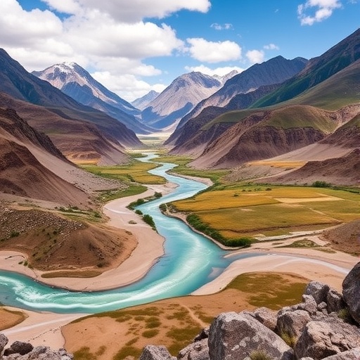
The northern slope of the Tianshan Mountains is becoming a living laboratory for one of the most urgent questions in climate science: how much water can a changing landscape continue to retain, regulate and release as human development and global warming reshape the region. A new study examining the area under land-use and land-cover change, together with the SSP2–4.5 medium-forcing climate scenario, reveals that water conservation is not a fixed property of the mountains. It is a shifting ecosystem function, controlled by the interaction of vegetation, soil, snow, glaciers, terrain and human activity.
Stretching across northern Xinjiang, the Tianshan’s northern slope forms a critical transition between high alpine environments, forested mountain belts, grasslands, farmland and rapidly expanding urban areas. Meltwater and rainfall descending from the mountains support agriculture, communities, industry and fragile downstream ecosystems. In this setting, water conservation refers not simply to the total amount of water present, but to the landscape’s ability to slow runoff, reduce destructive flows, promote infiltration and preserve moisture for later release. That service can determine whether precipitation becomes a resource or disappears rapidly through erosion and flood-driven drainage.
The study’s central insight is that land-use change can reorganize the geography of water conservation even when the total regional trend appears relatively stable. Converting grassland, forest or natural shrubland into cropland, infrastructure or settlements alters vegetation cover, soil structure and surface roughness. These changes influence how quickly water moves across slopes, how much enters the soil and how much is returned to the atmosphere through evapotranspiration. A forested slope, for example, can intercept rainfall with its canopy, bind soil with roots and create channels that improve infiltration. A compacted surface near a road or city can produce the opposite effect, sending water downslope as rapid runoff.
To investigate these processes, the researchers linked spatial land-use information with hydrological analysis and climate projections. Such an approach allows water conservation to be evaluated cell by cell across a complex mountain landscape rather than as a single average for the entire region. The analysis considers how different land-cover types contribute to water retention and how those contributions change when the distribution of forests, grasslands, croplands, built-up land and unused areas shifts. By adding the SSP2–4.5 pathway, the researchers also examine how a future with intermediate greenhouse-gas forcing could modify precipitation, temperature, evaporation and the timing of water availability.
SSP2–4.5 describes a future in which societies follow a pathway of uneven but moderate development and climate policy, producing a medium level of radiative forcing by the end of the century. It is neither a best-case pathway nor the most extreme warming trajectory. For mountain watersheds, however, even moderate warming can produce major hydrological consequences. Higher temperatures can increase atmospheric demand for water, accelerate snowmelt, alter the balance between rain and snow and intensify evaporation from soils and vegetation. In some locations, additional precipitation may offset these pressures; in others, water losses can rise faster than water inputs.
The spatial patterns revealed by the research are especially important because the northern Tianshan is not hydrologically uniform. High-elevation zones, where snow and ice store water, operate differently from middle-elevation forests and grasslands. Lower mountain foothills and plains are more strongly influenced by agriculture, irrigation networks and urban expansion. Water conservation therefore depends on a connected chain of landscapes. A disturbance in one section can affect water behavior far beyond its original location, changing sediment transport, seasonal flow and the reliability of water reaching downstream users.
The study also separates the overall water-conservation signal from its underlying drivers, a step that can transform regional planning. Spatial attribution identifies where changes are associated primarily with land-cover transitions, where climate variables dominate and where the two forces reinforce or counteract each other. This distinction matters because the appropriate response depends on the cause. If declining conservation is linked to vegetation loss, ecological restoration, grazing management or reforestation may help. If warming and altered precipitation are dominant, managers may need to prioritize water allocation, soil-moisture conservation and protection of high-altitude storage areas. Where urban growth is the principal pressure, permeable surfaces, drainage controls and watershed-sensitive construction can reduce runoff.
The findings carry a warning for policies that focus only on increasing water supply. Engineering projects can capture, divert or store water, but they cannot fully replace the regulating services performed by intact ecosystems. A mountain slope that releases water gradually can support rivers and agriculture over a longer season, while a degraded slope may deliver a sudden surge followed by extended dryness. Preserving water-conservation capacity is therefore also a strategy for limiting flood risk, soil erosion and ecological instability. The research suggests that conservation priorities should be mapped according to their hydrological importance, rather than assigned solely by administrative boundaries or land-use categories.
The northern Tianshan case has significance far beyond Central Asia. Mountain systems worldwide are being pressed simultaneously by warming, land conversion, infrastructure expansion and rising demand for water. The study demonstrates why future water security cannot be assessed from precipitation totals alone. What matters is how landscapes transform precipitation into storage, infiltration, runoff and sustained flow. Under the SSP2–4.5 scenario, the region’s water future will depend on whether land management preserves the ecological structures that regulate water movement. In that sense, the map of water conservation is also a map of climate resilience: protecting the places that hold water today may determine which communities can still depend on it tomorrow.
Subject of Research: Spatiotemporal dynamics and spatial attribution of water conservation under land-use/land-cover changes and the SSP2–4.5 medium-forcing scenario in the northern slope of the Tianshan Mountains
Article Title: Spatiotemporal dynamics and spatial attribution of water conservation under land use/cover changes and the SSP2–4.5 medium-forcing scenario in the northern slope of the Tianshan Mountains
Article References: Springer Nature, Regional Environmental Change, 2026
Image Credits: AI Generated
DOI: 10.1007/s10113-026-02653-4
Keywords: Water conservation; land-use/land-cover change; SSP2–4.5; climate change; hydrological services; Tianshan Mountains; northern slope; spatial attribution; ecosystem services; water security


