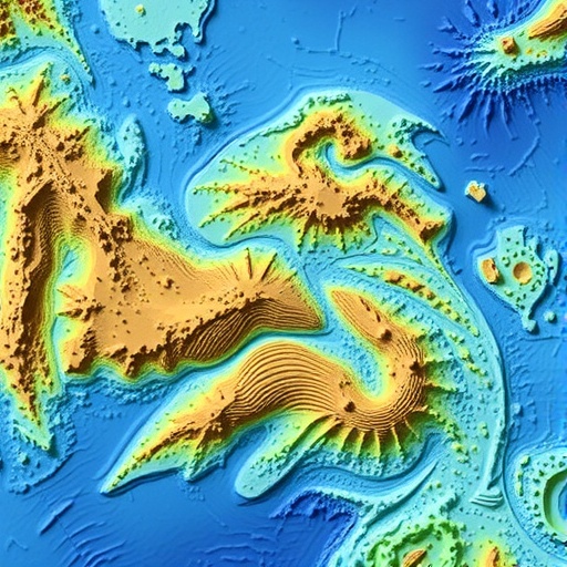
Coastal resilience is a critical topic in environmental science, especially in the context of rising sea levels and climate change. Recent research has unveiled significant misconceptions about coastal morphological resilience, largely stemming from inconsistent resolution in bathymetry mapping. The study, led by Miao and colleagues, indicates that inaccuracies in mapping underwater topography can mislead scientists, policymakers, and coastal communities about the true vulnerabilities of coastlines.
The term “bathymetry” refers to the measurement of water depth, which plays an essential role in understanding coastal ecosystems. Inconsistent bathymetric data can create a skewed perspective on how coastlines will respond to environmental stressors. Miao et al. argue that when coastal resilience is evaluated using data of varying resolutions, it leads to erroneous conclusions and ineffective management strategies. This poor data quality can inadvertently downplay the risks associated with coastal erosion and flooding.
A primary factor in this issue is the integration of high-resolution satellite imagery and low-resolution bathymetric models. High-resolution imagery might provide detailed visual data on coastlines, but without accurate underwater measurements, the overall picture remains incomplete. For example, a beach may appear stable based on visible data alone, yet low-resolution bathymetric maps could reveal significant underwater vulnerabilities that are not immediately apparent.
This discrepancy can have far-reaching implications for coastal defenses. Engineers and planners may underestimate the need for protective measures, leading to inadequate infrastructure investments. The result could be disastrous, especially during severe weather events or gradual changes like sea-level rise. The challenge is therefore twofold: enhancing the resolution of bathymetric data and ensuring that such data is consistently applied in resilience assessments.
Additionally, the human element of misinterpretation plays a role in this dynamic. Stakeholders often rely on simplified data for decision-making processes. When engaging with complex environmental models, there is a tendency to prioritize user-friendly visualizations and neglect the nuances hidden by insufficient data. This could result in both overconfidence in coastal defenses and a lack of urgency towards adopting more robust climate adaptation measures.
Miao’s team emphasizes the need for integrated approaches to coastal resilience assessments, where both terrestrial and bathymetric data are aligned. By developing uniform standards for bathymetric mapping, researchers can provide a comprehensive understanding of underwater landscapes and how they interact with terrestrial coastal features. This multi-dimensional view is crucial for effective coastal management and the mitigation of climate-related risks.
The study outlines various case studies illustrating the pitfalls of misaligned data resolution. In one scenario, a coastal area was depicted as highly resilient based on low-resolution bathymetric data. However, closer examination using higher resolution revealed several critical underwater features that could jeopardize the coast’s integrity. The researchers assert that without scrutinizing such inconsistencies, many coastal regions could remain ill-prepared for future climatic upheavals.
Addressing these research gaps is imperative. Miao and colleagues propose robust calibration methods for bathymetry mapping, urging scientific communities to adopt collaborative frameworks for data sharing. Coordination among institutions can ensure that bathymetric data is not only accurate but also reflects real-time conditions, which are vital in a rapidly changing environment. This approach will enhance the collective understanding of coastal resilience and enable tailored interventions.
Furthermore, the implications of this study reach beyond academic discourse; they engage with coastal communities at risk. Local policymakers require reliable data to safeguard public assets and evaluate environmental risks effectively. Misinformation propagated through inaccurate modeling can thwart funding for essential coastal protections, leaving communities exposed to the brunt of natural disasters.
The critical nature of this research cannot be overstated. It serves as a clarion call to dislodge prevailing misconceptions and advance the methodology behind coastal resilience evaluations. The study lays a foundation for future research aimed at honing the precision of bathymetric surveys and developing innovative technologies to monitor and assess coastal vulnerabilities.
As climate change continues its relentless march forward, the demand for high-quality, consistent data will only grow. The research by Miao et al. advocates for action among scientists, policymakers, and community leaders alike, as they can be key players in advocating for better data practices that can fortify coastal defenses.
Ultimately, this work emphasizes a crucial lesson in the intersection of science, policy, and social responsibility. The preservation of our coastlines depends heavily on our ability to adapt to new information and methodologies. As researchers continue to explore the complexities of coastal morphologies, society must remain vigilant and proactive in response to the evolving challenges presented by nature.
New insights contributed by this research may herald a transformative era in coastal resilience assessment, offering hope for sustainable coastal management strategies. As the scientific community rallies to confront these challenges, one can only hope that resilience will extend beyond data and into the very foundations of our coastal cities and natural landscapes.
Subject of Research: Coastal morphological resilience influenced by bathymetry mapping.
Article Title: Misconception of coastal morphological resilience caused by inconsistent resolution in bathymetry mapping.
Article References:
Miao, B., Arlinghaus, P., Ho-Hagemann, H.T.M. et al. Misconception of coastal morphological resilience caused by inconsistent resolution in bathymetry mapping.
Commun Earth Environ 6, 904 (2025). https://doi.org/10.1038/s43247-025-02974-y
Image Credits: AI Generated
DOI: https://doi.org/10.1038/s43247-025-02974-y
Keywords: Coastal resilience, bathymetry mapping, environmental science, climate change, data accuracy.


