In the heart of Northwest Iran flows a perennial river whose intricate water quality dynamics have now been meticulously unraveled in a groundbreaking study published in 2025. Researchers Mostafazadeh, Irani, and Mousavi Moghanjoghi embarked on a comprehensive spatial analysis of this river’s water quality, examining sequential stations to expose a nuanced portrait of environmental variability. This pioneering research represents a profound leap forward in our understanding of hydrological systems, with significant implications for regional water resource management and ecological preservation.
The study reveals the multifaceted nature of water quality fluctuations along the river’s course, highlighting how localized influences and cumulative environmental pressures shape the aquatic ecosystem. By employing a robust sampling framework that captured data across multiple stations in a temporally consistent manner, the research team was able to identify patterns of physicochemical parameters that reveal the interplay between natural processes and anthropogenic impacts. Each station provided a distinct snapshot of water quality, collectively weaving a detailed map of spatial heterogeneity unprecedented in this region.
Water quality in perennial rivers like the one studied is vital not only for ecological health but also for human consumption, agricultural use, and industrial processes. The researchers applied advanced analytical techniques to measure key indicators including pH, dissolved oxygen, turbidity, total dissolved solids, and concentrations of nitrates, phosphates, and heavy metals. This multifactorial approach allowed them to detect subtle yet significant variations as water flows downstream—a process often amplified by inputs from agricultural runoff, urban wastewater discharge, and natural leaching from surrounding geology.
What makes this research especially compelling is the sequential sampling strategy that captures the river’s water quality at fine-scale intervals along its path. Such granularity unveils spatial trends that broad-scale assessments often overlook. The data indicate distinct zones where water quality parameters oscillate markedly, reflecting localized influences such as point-source pollution or tributary inputs. These zones serve as critical indicators for targeted intervention, informing policymakers and environmental managers where remediation efforts are most urgently needed to safeguard the river’s integrity.
One striking finding is the identification of spatial gradients in nutrient loading that suggest the presence of eutrophication hotspots at certain stations. Elevated nitrate and phosphate levels were detected downstream of agricultural communities, highlighting how fertilizer runoff directly alters river chemistry and promotes algal blooms. This phenomenon threatens both aquatic biodiversity and water usability, accentuating the need for integrated watershed management practices that balance agricultural productivity with ecosystem protection.
The temporal persistence of certain water quality issues was also documented, shedding light on the river’s resilience and vulnerability. Fluctuations in dissolved oxygen levels, for instance, were linked to seasonal variations in temperature and flow rate but also modulated by organic pollution inputs. These findings underscore the complex, interconnected factors driving riverine health and reinforce the importance of continuous monitoring to capture dynamic environmental changes, enabling adaptive management that responds to emerging threats.
Moreover, this study integrated a spatial analysis framework that enhances the predictive power of water quality assessments. By mapping physicochemical data against geographic coordinates, the researchers delineated not only current conditions but potential zones at risk for future degradation. Such foresight is invaluable for designing early warning systems and prioritizing conservation resources, particularly in semi-arid regions like Northwest Iran where water scarcity intensifies competition among users.
The implications of this research extend beyond regional boundaries, offering a methodological blueprint for studying perennial rivers worldwide. The integration of sequential station monitoring with detailed chemical profiling sets a new standard for ecological assessment, fostering a holistic understanding of riverine environments that transcends conventional snapshot methodologies. This approach enriches our capacity to detect subtle trends that may presage larger environmental shifts, thus equipping stakeholders with actionable insights to preempt deterioration.
Environmental scientists have lauded this work for its sophistication and relevance in addressing global water quality challenges. It has been praised not only for the clarity of its data presentation but also for its strategic focus on spatial variability—a factor often underestimated in conventional water quality studies. Such recognition reflects the increasing awareness that preserving water quality demands nuanced insights into how conditions evolve and interact across space and time.
Furthermore, the study sheds light on anthropogenic pressures that are reshaping natural hydrological cycles. Urban expansion, agricultural intensification, and industrial activities all impose diverse stressors that compound each other’s effects along the river continuum. The disaggregated station data allow for pinpointing the cumulative impact of these stressors, thereby facilitating coordinated multi-sectoral responses that address underlying causes rather than symptoms alone.
As water security becomes one of the 21st century’s defining challenges, research of this caliber provides a critical evidentiary foundation for sustainable management. By elucidating the spatial variation in water quality, the study promotes a landscape-scale perspective indispensable for integrated water resources management (IWRM). This encourages collaboration across administrative boundaries and stakeholder groups to harmonize human and environmental needs, ultimately enhancing resilience against climate variability and human pressures.
Looking ahead, the research team advocates for expanding such spatial analyses into temporal studies that incorporate continuous monitoring technologies. Real-time data collection via sensor networks could revolutionize our capacity to track rapid changes and respond promptly to pollution events or ecological disturbances. Coupled with remote sensing and machine learning techniques, the future of water quality management promises enhanced precision and adaptability.
The implications for public health are no less significant. The study highlights zones where contaminant levels approach or exceed safe thresholds, flagging potential risks for communities reliant on the river for drinking water or food production. This calls for intensified water treatment infrastructure and community education programs to mitigate exposure and promote sustainable consumption patterns.
Moreover, the integrative methodology employed exemplifies interdisciplinary synergy, bridging hydrology, environmental chemistry, geospatial science, and socio-economic considerations. Such holistic inquiry reflects modern environmental science’s trajectory towards systems thinking—acknowledging that water quality is both an ecological phenomenon and a societal concern shaped by human behavior and policy regimes.
This research further contributes to the global discourse on ecosystem services, emphasizing how the quality of freshwater resources underpins economic activities and human well-being. By quantifying spatial variations in water quality, it empowers stakeholders to value and protect the intrinsic benefits rivers provide—ranging from habitat support and nutrient cycling to recreational opportunities and cultural significance.
In essence, the work of Mostafazadeh, Irani, and Mousavi Moghanjoghi represents a landmark in riverine environmental science, illuminating how detailed spatial analysis can unravel the complex tapestry of water quality dynamics. It is a clarion call for integrated, data-driven stewardship of freshwater resources that honors ecological complexity while addressing the practical needs of societies dependent on these vital lifelines.
As freshwaters worldwide grapple with escalating pressures from development and climate change, the insights from Northwest Iran’s perennial river offer hope and guidance. They remind us that through careful observation, rigorous analysis, and committed management, we can safeguard these rivers as resilient arteries of life for generations to come.
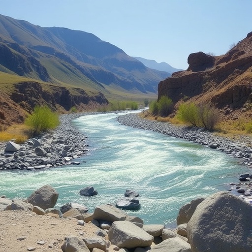
Subject of Research: Spatial variation of water quality in a perennial river system in Northwest Iran.
Article Title: Spatial variation of water quality across sequential stations in a perennial river, Northwest Iran.
Article References:
Mostafazadeh, R., Irani, T. & Mousavi Moghanjoghi, S. Spatial variation of water quality across sequential stations in a perennial river, Northwest Iran. Environ Earth Sci 84, 568 (2025). https://doi.org/10.1007/s12665-025-12576-8
Image Credits: AI Generated
