In the ever-evolving urban landscapes across the globe, the interplay between rapid population growth and limited land resources poses significant challenges to city planners and policymakers. As cities expand, the quest for sustainable urban planning becomes increasingly urgent. In this context, innovative methodologies integrating machine learning and Geographic Information Systems (GIS) are being employed to predict and simulate urban growth patterns. A pivotal study led by Budha, Thapa, and Gharti has made considerable strides in this direction, focusing on Chaurjahari, a rapidly urbanizing town in Nepal. The research showcases how advanced computational techniques can provide valuable insights into urban expansion dynamics, ultimately contributing to more sustainable planning strategies that align with the needs of local populations.
The study uses a robust framework that combines machine learning algorithms with GIS mapping to create detailed simulations of urban expansion scenarios. By analyzing historical data on land use, demographic trends, and environmental factors, the researchers were able to train machine learning models that predict future development patterns in Chaurjahari. This predictive capability offers urban planners a powerful tool to envision how the town might evolve, identifying potential areas of congestion, environmental degradation, or even socio-economic disparities that may arise with unchecked urban growth.
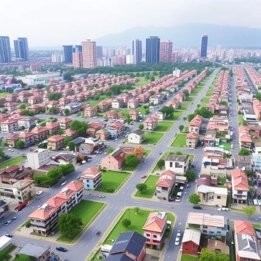
Using high-resolution spatial data, the research meticulously maps the current state of Chaurjahari, integrating various datasets that encompass everything from topography to infrastructure. This comprehensive approach ensures that the simulations not only reflect the physical landscape but also consider socio-economic variables that influence urbanization. As cities like Chaurjahari grow, understanding these multidimensional relationships becomes crucial in developing strategies that not only accommodate growth but also enhance the quality of life for residents.
Central to the study’s findings is the recognition that urban growth is not merely a function of population increase but is influenced by numerous factors, including economic opportunities, migration patterns, and existing land-use policies. The machine learning models employed in the research synthesize this complex web of influences, allowing for a nuanced understanding of how various elements interact to shape urbanization. This holistic viewpoint is vital for crafting policies that promote sustainable development, ensuring that urban expansion aligns with environmental sustainability and social equity.
The researchers highlight the importance of stakeholder engagement in the urban planning process. By using simulations to visualize potential future scenarios, planners can foster discussions among community members, local businesses, and government officials. Such dialogues are critical for building consensus on development priorities, as diverse perspectives can lead to more inclusive and effective planning outcomes. This participatory approach not only enhances transparency but also empowers residents to take an active role in shaping their urban future.
Moreover, the application of machine learning and GIS technology in urban planning extends beyond mere prediction; it also facilitates scenario analysis. By creating different models that reflect varying assumptions—such as changes in policy, economic growth rates, or climatic conditions—planners can assess the potential impacts of their decisions. This capability allows for the exploration of “what-if” scenarios that can inform strategic planning and risk management efforts.
As Chaurjahari, like many urban areas, faces pressures from population growth and environmental change, the integration of technology in urban planning presents an invaluable opportunity. The insights derived from the research can guide local authorities in implementing zoning regulations, transportation plans, and infrastructure development that are responsive to both current needs and future challenges. By leveraging the power of data and technology, cities can navigate the path toward resilience and sustainability more effectively.
The implications of this study extend beyond the borders of Nepal; the methodological framework established by the researchers can serve as a model for other developing regions grappling with similar challenges. Urban planners and policymakers in diverse contexts are increasingly looking for innovative solutions that marry traditional planning approaches with the analytical capabilities of modern technology. This research not only contributes to academic discourse but also informs practical applications in urban management.
The findings from the study underscore the critical role of interdisciplinary collaboration in tackling the complexities of urban expansion. As the fields of machine learning, geography, and urban planning converge, the potential for groundbreaking advancements becomes apparent. Such collaborations could lead to the development of new algorithms tailored specifically for urban applications, enhancing precision in predictions and broadening the scope of analytical capabilities available to planners.
Furthermore, the evolving landscape of urban planning, where data-driven insights meet community-driven methods, is critical for developing adaptive strategies. In many cities, traditional planning methods may no longer suffice in the face of rapid changes. Consequently, city planners must embrace adaptive management strategies that are informed by ongoing data collection, analysis, and stakeholder input, ensuring that policies remain effective and relevant over time.
Sustainable urban planning is ultimately about balance—between development and preservation, between social equity and economic growth, and between technological advances and human-centered design. The integration of machine learning and GIS is a significant step toward achieving this balance, providing a framework for planners to engage with the complexities of urban dynamics in an informed and systematic way. The implications of this study, rooted in the unique context of Chaurjahari, resonate broadly across the global stage, highlighting the universal importance of sustainable approaches to urbanization.
In summary, the research conducted by Budha and colleagues represents a meaningful contribution to urban planning literature. By effectively harnessing technology and data, the study reveals pathways for sustainable development amid the pressures of urban growth. As cities continue to evolve, leveraging innovative methodologies will be integral to crafting solutions that are not only effective but also equitable and environmentally conscious. Emphasizing future readiness in urban planning, the research champions a forward-thinking approach that aims to harmonize the needs of urban populations with the realities of limited land resources, ultimately fostering a sustainable future.
Subject of Research: Urban Expansion Simulation Using Machine Learning and GIS
Article Title: Machine learning and GIS based simulation of urban expansion for sustainable planning in Chaurjahari of Nepal.
Article References:
Budha, M., Thapa, M.S., Gharti, S. et al. Machine learning and GIS based simulation of urban expansion for sustainable planning in Chaurjahari of Nepal.
Discov Cities 2, 84 (2025). https://doi.org/10.1007/s44327-025-00107-w
Image Credits: AI Generated
DOI: https://doi.org/10.1007/s44327-025-00107-w
Keywords: Urban Planning, Machine Learning, GIS, Sustainable Development, Urban Expansion, Chaurjahari, Nepal, Data Analysis, Stakeholder Engagement
