In a groundbreaking new study published in npj Urban Sustainability, researchers have delivered a comprehensive analysis of thermal intensification and urban land cover change across Southeast Asian capital cities, spanning more than three decades of satellite observations. The findings shed light on the accelerating pace of urban heat island effects in one of the fastest-growing and most densely populated regions on Earth, offering critical insights into how landscape transformations are reshaping urban climates and affecting millions of inhabitants.
The team, led by Ng, Y.L., Lim, M.H., and Huang, Y.F., utilized continuous satellite data stretching from the late 20th century into the mid-2020s. By leveraging advances in remote sensing technology and sophisticated geospatial analysis techniques, the study meticulously quantifies changes in land cover — from vegetation loss to impervious surface expansion — and correlates these with rising surface temperatures. This approach allowed for an unprecedented temporal and spatial resolution, making it possible to detect subtle shifts that previous studies may have overlooked.
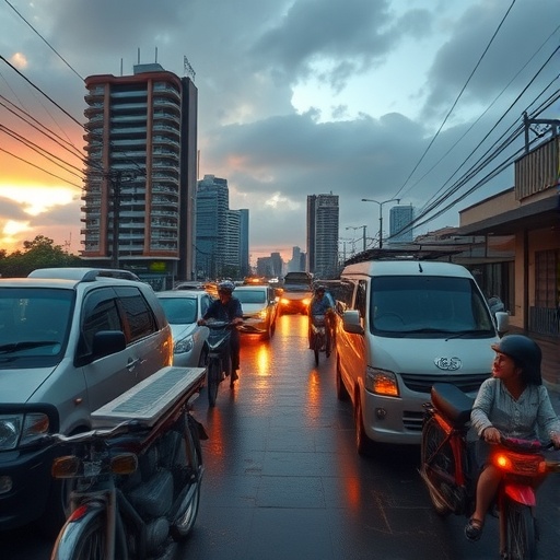
One of the central revelations of the research is the stark disparity in thermal intensification across various Southeast Asian capitals. Cities such as Jakarta, Bangkok, and Manila have experienced dramatic increases in surface temperature linked directly to rapid urbanization. The conversion of natural landscapes into built environments, characterized by concrete, asphalt, and minimal foliage, has amplified the urban heat island effect, leading to temperatures that are several degrees Celsius higher than surrounding rural areas. This intensification is not uniform, however, reflecting differing urban planning policies, geographical settings, and land management strategies.
The study’s use of multi-decadal satellite imagery enabled the researchers to identify not only the spatial extent of urbanization but also the evolving patterns of land cover change. Dense urban cores have expanded outward, often encroaching upon previously vegetated or agricultural lands. In many cases, green spaces that historically moderated urban temperatures have been fragmented or diminished, weakening their cooling functions. The result is a shift from a landscape of mixed-use and ecosystem services toward a homogenized, thermally aggravated urban matrix.
Thermal intensification carries profound implications for public health, energy consumption, and climate resilience. Elevated urban temperatures exacerbate heat stress, increasing the risks of heat-related illnesses and mortality, particularly among vulnerable populations like the elderly and children. Furthermore, hotter cities demand more energy for cooling, especially air conditioning, which in turn can increase greenhouse gas emissions if powered by fossil fuels, creating a feedback loop of warming. This research highlights the urgent need to integrate climate adaptation strategies into urban planning to mitigate these cascading effects.
The study also explores the temporal dynamics of thermal intensification, demonstrating that the most significant increases in surface temperatures coincide with periods of rapid economic growth and urban infrastructure development. This suggests a strong link between socio-economic drivers and environmental change, emphasizing that urban planning decisions have far-reaching consequences beyond immediate functional or aesthetic considerations. By mapping trends over decades, the paper provides evidence that proactive and sustainable urban designs could slow or reverse some of these warming trends.
Notably, the research draws attention to the disproportionate impact of thermal intensification on certain neighborhoods within these capitals. Satellite data combined with demographic information reveal that lower-income areas with limited green infrastructure tend to experience higher temperatures. These findings stress the importance of equitable urban greening initiatives that prioritize vulnerable communities, ensuring that urban sustainability efforts do not inadvertently exacerbate social inequalities.
The methodological rigor of this study sets a new standard for urban climate research in the region. The team applied trend analyses to decadal time frames, minimizing the noise of seasonal variability and extreme weather events, thereby isolating true long-term changes in thermal profiles. They incorporated multiple spectral bands from satellite sensors to differentiate various land cover types accurately, allowing for a nuanced understanding of how different urban materials and vegetation types contribute to temperature changes.
Among the pivotal technological tools employed were Landsat and MODIS satellites, whose data were harmonized and cross-calibrated to maintain continuity and comparability over time. This integration stands as a testament to the capacity of Earth observation systems to support long-term environmental monitoring in critical urban environments. Additionally, the researchers utilized normalized difference vegetation index (NDVI) and land surface temperature (LST) metrics extensively to link vegetation health and thermal patterns.
Beyond the scientific measurements, the paper underscores the policy relevance of these findings for Southeast Asian nations. As rapidly growing cities confront heightened climate risks, there’s a compelling need to embed thermal management into urban design codes and land use regulations. Potential interventions include increasing urban canopy cover, implementing reflective roofing materials, and designing open, ventilated spaces that can reduce heat buildup. By providing empirical backing and urban heat maps, this study equips policymakers with actionable intelligence to direct adaptation funding effectively.
The implications extend onto the global stage, offering a case study in how urban centers in tropical regions respond to the twin challenges of urban growth and climate change. Southeast Asian capitals serve as microcosms of broader global trends: urban sprawl, land degradation, and increasing thermal stress are not unique to the region, but the intensity and pace of change here are particularly striking. As these cities grow into mega-urban agglomerations, understanding and mitigating their environmental footprints is imperative for sustainability worldwide.
This research also engages with future projections, suggesting that without meaningful intervention, thermal intensification will likely accelerate, compounding heat risks and straining urban infrastructure. The authors advocate for integrating satellite-based monitoring with ground observations and community engagement to develop adaptive strategies responsive to local conditions. Such a dynamic and participatory approach could transform urban resilience from a theoretical concept into practical, scalable solutions.
In the final analysis, the study champions the utility of long-term, satellite-derived datasets not just for retrospective observation but for guiding forward-looking urban sustainability policies. It bridges the gap between academic research and real-world application, inviting cross-disciplinary collaborations among urban planners, climatologists, public health experts, and policymakers. As Southeast Asian capitals continue to evolve, this research stands as a vital resource for ensuring their growth is responsible, resilient, and climate-conscious.
Through a lens focused on the implications of thermal intensification, the paper offers a narrative filled with urgency but also opportunity. It highlights how advancements in remote sensing can illuminate hidden urban stresses, empowering cities to proactively counter the environmental challenges posed by their own expansion. Ultimately, it is a call to action—an invitation to reimagine urban futures that harmonize human development with the fragile tropical environment.
The publication’s richness lies in its multi-dimensional approach—capturing not only the physical changes in landscape and temperature but also the sociopolitical context driving urban transformation. It serves as a pivotal resource for anyone interested in the intersection of urbanization, climate change, and sustainability in Southeast Asia, providing a blueprint for similar studies worldwide. As global urban populations continue to rise, such insights are indispensable for crafting cities that are not only centers of economic vitality but also protectors of health and environmental stability.
In conclusion, the work of Ng and colleagues represents a landmark contribution to urban environmental science. It harnesses three decades of satellite data to unravel the complex interplay between land cover change and thermal intensification in Southeast Asian capitals, charting a path forward for mitigating heat-related risks in tropical megacities. The findings serve as a timely reminder of the critical importance of sustainable urban planning in an era of accelerating climate change and urban growth.
Subject of Research: Thermal intensification and urban land cover change in Southeast Asian capital cities examined via multi-decadal satellite observations.
Article Title: Thermal intensification and urban land cover change in Southeast Asian capitals: over three decades of satellite observations and trend analysis.
Article References: Ng, Y.L., Lim, M.H., Huang, Y.F. et al. Thermal intensification and urban land cover change in Southeast Asian capitals: over three decades of satellite observations and trend analysis. npj Urban Sustain (2025). https://doi.org/10.1038/s42949-025-00315-8
Image Credits: AI Generated
