

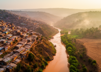
Where Floods, Landslides and Heat Collide: A GIS Roadmap for Greener Ethiopian Cities
A new GIS-based study maps where floods, landslides, and urban heat overlap in Dessie City, Ethiopia, and identifies the areas ...
A new GIS-based study maps where floods, landslides, and urban heat overlap in Dessie City, Ethiopia, and identifies the areas ...

A systematic analysis of Shanghai's municipal and district master plans finds the term ecosystem services never appears, yet the concept ...

A new spatial analysis of 371 protected heritage sites in Henan Province reveals where dense river networks and thriving cultural ...
A new policy analysis of 314 flood-related strategies in Samarinda reveals that the Indonesian city's flood governance is strong on ...
A mixed-methods study of Shiwei village in Inner Mongolia reveals that residents build continuous, path-based mental maps while tourists rely ...
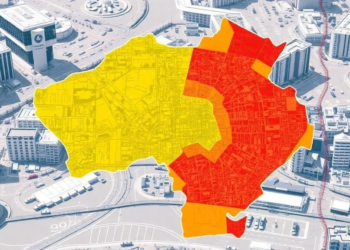
Researchers at Jilin Jianzhu University combined GIS and the Analytic Hierarchy Process to map six overlapping hazards across Changchun, revealing ...
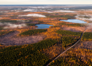
Researchers have built the first harvest scheduling model that directly controls the spatial texture of mature and old-growth boreal forest, ...

A study of 75 residents in Norwegian Arctic municipalities finds that only two of ten forms of citizen participation in ...
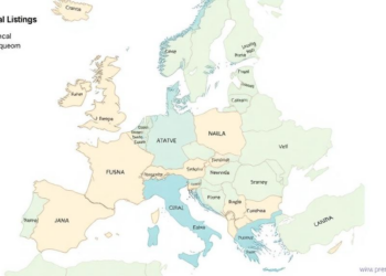
A study of more than 22 million European property listings maps a continental housing affordability crisis in which nearly half ...
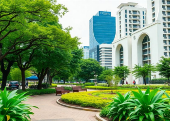
A new review argues that urban green infrastructure, from community gardens to million-tree campaigns, should be treated as the spatial ...


Embark on a thrilling journey of discovery with Scienmag.com—your ultimate source for cutting-edge breakthroughs. Immerse yourself in a world where curiosity knows no limits and tomorrow’s possibilities become today’s reality!