

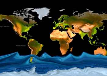
Satellites Map When Rivers Peak: Global Flood Timing Is Shifting Unevenly
A new satellite altimetry study has produced the first global map of river flood peak timing, revealing earlier peaks at ...
A new satellite altimetry study has produced the first global map of river flood peak timing, revealing earlier peaks at ...
A new study shows that twenty years of ESA satellite discharge and water level data, assimilated into two contrasting hydrological ...
The World Meteorological Organization's 2025 report shows rivers, groundwater and glaciers declining worldwide as climate change and groundwater extraction dry ...


Embark on a thrilling journey of discovery with Scienmag.com—your ultimate source for cutting-edge breakthroughs. Immerse yourself in a world where curiosity knows no limits and tomorrow’s possibilities become today’s reality!