

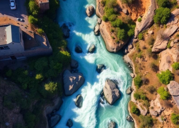
AI Cameras and Aerial Imagery Map the True Limits of a Famous Whitewater Corridor
Researchers combined aerial image segmentation and camera-based object detection to build the first corridor-wide, AI-driven indicators of parking supply and ...
Researchers combined aerial image segmentation and camera-based object detection to build the first corridor-wide, AI-driven indicators of parking supply and ...

Chinese researchers have developed CGFM, an attention-guided fusion module that lets YOLOv8-based detectors intelligently combine visible-light and infrared satellite imagery, ...
Researchers in Sardinia have built the first field dataset of grapevine hopperburn symptoms and shown that deep learning detectors reliably ...
A new lightweight YOLOv10-based vision system paired with an improved generative grasping network lets industrial robots detect and grip objects ...
Researchers have developed S²DNet, a dynamic spectral–structural framework that adapts feature extraction and fusion to each scene, improving remote sensing ...
Researchers have developed an attention-enhanced YOLOv8n-CBAM deep learning model that detects red palm weevils in pheromone trap images with high ...
Researchers have developed a real-time AI framework and a new field-captured dataset, VerBeet, that localize sugar beets and detect breakage ...
A new hybrid AI architecture called Mamba-OrthoNet fuses global and local visual features with circular angle encoding to detect ship ...
Peruvian researchers combined close-range drone imagery with two YOLOv8 deep learning models to detect Hass avocados and classify their ripeness ...
Version 2.1.1 of the open-source YOLO-MOD plugin lets QGIS users run their own trained YOLO models, edit detections interactively, and ...

Embark on a thrilling journey of discovery with Scienmag.com—your ultimate source for cutting-edge breakthroughs. Immerse yourself in a world where curiosity knows no limits and tomorrow’s possibilities become today’s reality!