

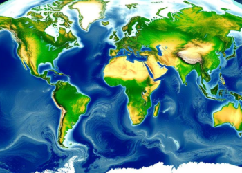
Satellites and Models Combine to Map River Depth and Flow Worldwide
A new satellite altimetry and modeling framework delivers global estimates of river discharge and mean depth at more than 26,000 ...
A new satellite altimetry and modeling framework delivers global estimates of river discharge and mean depth at more than 26,000 ...
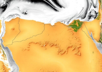
A new study tested five satellite and reanalysis rainfall products against 23 Egyptian rain gauges and used deep neural networks ...
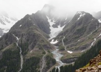
Austrian researchers have developed a terrain-aware statistical method that corrects systematic undercatch in mountain precipitation gauges, dramatically improving runoff, snow ...
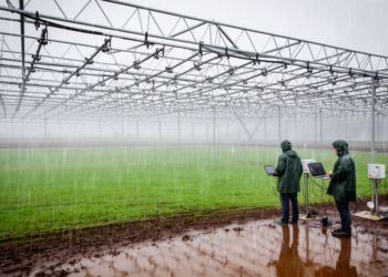
Researchers have extended a widely used class of statistical precipitation generators with flexible distributional modelling and a unified treatment of ...
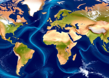
A new study shows that twenty years of ESA satellite discharge and water level data, assimilated into two contrasting hydrological ...
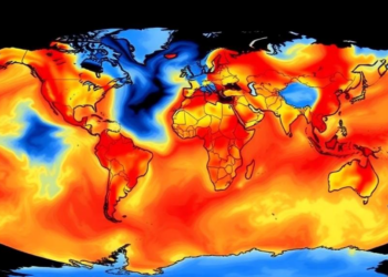
A new study testing twelve gridded precipitation datasets against 120 weather stations across Central-West Brazil finds that the gauge-based BR-DWGD ...
A global analysis of more than 80,000 catchments shows that complex, memory-driven rainfall–runoff behavior dominates 87 percent of Earth's land ...
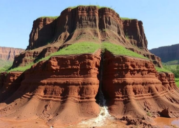
A physics-based erosion model applied to a sandy southern Brazilian watershed reveals that subsurface processes, not surface runoff, drive the ...

Researchers have built HydroSuite-AI, a browser-based AI assistant that generates and executes hydrological code across open-source libraries with up to ...
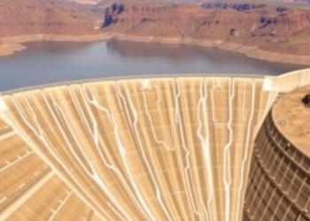
Researchers in South Korea have developed a temporal convolutional network that forecasts dam storage six months in advance, doubling the ...


Embark on a thrilling journey of discovery with Scienmag.com—your ultimate source for cutting-edge breakthroughs. Immerse yourself in a world where curiosity knows no limits and tomorrow’s possibilities become today’s reality!