

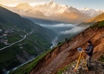
Mapping landslide risk across the Indian Himalaya to guide safer planning
A new study maps landslide susceptibility and risk across the Indian Himalayan Region, finding about 8% of the area under ...
A new study maps landslide susceptibility and risk across the Indian Himalayan Region, finding about 8% of the area under ...

An integrated assessment of Ethiopia's federal road network finds that 43.3 percent of its length faces high or very high ...
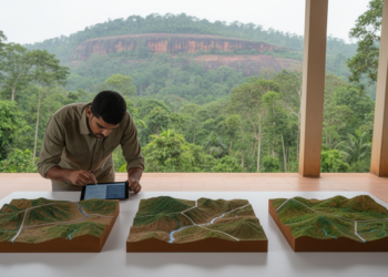
A Wayanad study comparing four models mapped Sultan Bathery, Vythiri and Mananthavady among highly susceptible areas, with VIKOR achieving the ...
A PLS-SEM analysis of 39 disaster-prone countries from 1993 to 2020 shows that informality directly amplifies disaster impact, while governance ...
A qualitative study of UK-based geohazard remote sensing researchers finds widespread good intentions but a narrow understanding of research ethics, ...
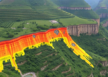
A new study in Kerala's Western Ghats shows a Random Forest machine learning model, validated with an AUC of 0.99, ...

Japanese researchers have developed and validated a 23-item psychological preparedness scale for elementary school children and shown that a hybrid ...
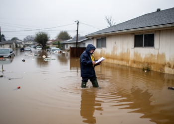
The warning that hydrological extremes are now outpacing the systems designed to pay for their consequences rests on a well-documented ...
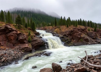
A sweeping review of 1,967 studies shows mountain flash floods are state-dependent events that demand coordinated portfolios of warning, planning, ...

Researchers in the Philippines used GIS sieve mapping to rank 46 barangays in Lemery, Batangas by combined COVID-19 case counts ...


Embark on a thrilling journey of discovery with Scienmag.com—your ultimate source for cutting-edge breakthroughs. Immerse yourself in a world where curiosity knows no limits and tomorrow’s possibilities become today’s reality!