

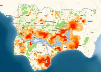
Satellite Maps Reveal Nearly Half of Nigerian City Faces High Flood Risk
A GIS and analytical hierarchy process study of Ilorin, Nigeria, has mapped flood susceptibility across the entire metropolis and found ...
A GIS and analytical hierarchy process study of Ilorin, Nigeria, has mapped flood susceptibility across the entire metropolis and found ...
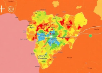
Researchers in Nigeria combined satellite data with a structured expert-weighting method to map flood susceptibility across Makurdi, finding that over ...
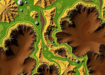
Researchers in northern Iran combined satellite-derived terrain attributes with a support vector machine and factor analysis to map soil quality, ...

A physics-based erosion model applied to a sandy southern Brazilian watershed reveals that subsurface processes, not surface runoff, drive the ...

A 43-year wave hindcast and high-resolution modelling reveal abrupt exposure transitions along the urbanised Camogli coast in northwestern Italy.

The first complete morphometric survey of the Pabbar River Basin shows a Himalayan watershed in delicate geomorphic equilibrium, with low ...


Embark on a thrilling journey of discovery with Scienmag.com—your ultimate source for cutting-edge breakthroughs. Immerse yourself in a world where curiosity knows no limits and tomorrow’s possibilities become today’s reality!