Recent studies have unveiled profound insights into the impacts of anthropogenic activities on Ramsar sites in India, leveraging the power of multidecadal satellite imagery. The research, led by an expert team consisting of K. Patil, R. Pawar, and A. Gujrati, illuminates the stark reality of environmental changes occurring in these ecologically pivotal areas designated for their wetland importance. The study provides a comprehensive analysis that not only highlights the extensive degradation but also serves as a critical alarm for policymakers and environmentalists.
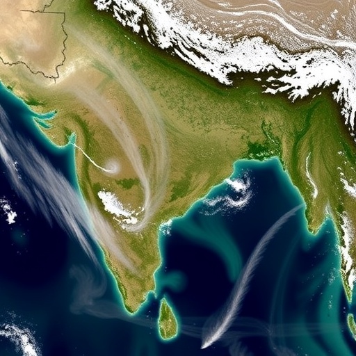
Through the utilization of advanced satellite imagery collected over multiple decades, the researchers were able to track subtle yet significant changes in the wetlands designated as Ramsar sites. These sites, which are vital for biodiversity and support various ecosystem services, have come under increasing pressure due to a myriad of human activities. The revelation of these impacts through high-resolution imagery is a pivotal step in understanding the broader ecological consequences of our actions on fragile ecosystems.
The study methodology was meticulously designed, integrating state-of-the-art satellite technology that enabled the researchers to assess land cover changes, water quality variations, and biodiversity loss. Each element of the methodology fortified the study’s findings, providing a verifiable and quantifiable basis for the alarming trends observed. The researchers not only documented the extent of degradation but also delved into the specific drivers of change, enabling a clearer understanding of the relationship between human behavior and ecological health.
One of the most striking conclusions from the research is the visible correlation between urban expansion and wetland decline. As cities grow and populations rise, the encroachment on natural habitats becomes inevitable. The researchers pointed out that this urban sprawl is a double-edged sword; while it fuels economic development, it simultaneously undermines the ecological integrity of vital habitats. The images from the satellites tell a story of lost wetlands where once they thrived, replaced now by concrete structures.
Moreover, agricultural practices have emerged as a notable contributor to the deterioration of these ecosystems. Intensive farming not only alters land use but also introduces pollutants into the water systems, significantly impacting water quality. The analysis showcased a rise in nutrient loading leading to problems such as eutrophication in some Ramsar sites, posing a severe threat to aquatic biodiversity. The visual evidence from the satellite images starkly contrasted thriving ecosystems with barren landscapes, underscoring the urgency of sustainable agricultural practices.
Pollution stemming from industrial activities was another critical area of concern highlighted in the research. The imagery revealed distinct patterns where industrial development has coincided with falling water levels and deteriorating environmental conditions of nearby Ramsar sites. This juxtaposition serves as a harsh reminder of the environmental toll that industries impose as they expand. The researchers called for immediate regulatory frameworks to mitigate these impacts, emphasizing the need for sustainable practices in industries situated near these ecologically sensitive wetlands.
The long-term effects of climate change were also scrutinized in this groundbreaking study. The researchers noted that rising temperatures and erratic weather patterns have contributed to alterations in wetland hydrology. The satellite images illustrated these fluctuations, showcasing the stress placed on these ecosystems as water availability waxes and wanes. This stresses the importance of adaptive management strategies to safeguard the ecological balance that Ramsar sites provide.
In addition to assessing the environmental degradation, the study highlighted the socio-economic ramifications of wetland loss. The Ramsar sites are not just ecological treasures; they also support livelihoods for local communities that rely on them for fishing, agriculture, and tourism. The transformation of these essential areas could thus have cascading effects on socio-economic structures. It is imperative that the findings spur discussions among stakeholders about the balance between development and conservation, ensuring that local communities are engaged and can express their needs and concerns.
The comprehensive nature of this study positions it as a seminal work in the field of environmental monitoring. By illuminating the realities facing Ramsar sites in India through scientific inquiry and technological advancement, it makes a compelling case for the need for urgent action. The evidence presented challenges the often-overlooked consequences of human activity on these sensitive ecosystems and calls for immediate policy intervention.
The study’s implications extend beyond India’s borders, resonating with global environmental challenges that are similar in nature. As the world grapples with biodiversity loss and climate change, the research emphasizes that the strategies embracing sustainable development must be globally considered. Sharing insights and methodologies derived from such studies can facilitate a collective approach to environmental stewardship.
The research by Patil and his colleagues has been published in Environmental Monitoring and Assessment, contributing critical insights into our understanding of the intricate connections between human activities and wetland ecosystems. Researchers and environmentalists worldwide are encouraged to reflect on these findings and incorporate innovative technologies in their investigations to foster more data-driven conservation efforts.
The journey to restore and protect Ramsar sites in India must commence with a solid foundation of data and awareness. The evidence garnered from this multi-decade satellite imagery study serves as a powerful tool for advocacy and education. As the call for action resonates among scientific communities and policymakers, it is essential to transcend beyond mere documentation of the problems and ignite a proactive conservation movement.
By fostering collaboration among various sectors, including government, industry, and local communities, the researchers advocate for a unified front against the anthropogenic threats faced by these critical ecosystems. Education and public awareness campaigns could play a significant role in influencing and altering public perceptions regarding the value of preserving such environments.
Looking forward, the researchers stress the importance of continuous monitoring as essential for adaptive management practices. Establishing systematic satellite monitoring and assessment programs can equip stakeholders with the knowledge necessary to make informed decisions that will positively influence the future of Ramsar sites in India.
As this research unfolds in the public domain, the benefits it brings to the discourse surrounding environmental conservation cannot be overstated. By galvanizing action at multiple levels, it aims to change the trajectory of wetland preservation and management in India and beyond, securing the ecological health of vital spaces for generations to come.
With significant contributions to scientific literature, multidecadal satellite imagery emerges as an indispensable ally in environmental assessments. This approach offers a revealing lens into the past, present, and future of our global ecosystem, underscoring the perpetual legacy of our environmental choices.
In conclusion, the compelling findings from this research serve as a wake-up call. The degradation of Ramsar sites in India is emblematic of a broader environmental crisis that policymakers cannot ignore. The implications extend far beyond local concerns; they challenge humanity to rethink its relationship with natural ecosystems and recognize the vital roles they play in sustaining life on Earth.
As we anticipate the ongoing dialogues that will stem from this research, it becomes evident that the future of Ramsar sites and their conservation hinges on our collective responsibility and immediate action toward sustainable practices. The clarity afforded by these satellite observations remains a beacon of hope that, if leveraged wisely, can lead us toward a more balanced coexistence with nature.
Subject of Research: Anthropogenic impacts on Ramsar sites in India through satellite imagery analysis.
Article Title: Multidecadal satellite imagery reveals significant impacts of anthropogenic threats on Ramsar sites of India.
Article References:
Patil, K., Pawar, R. & Gujrati, A. Multidecadal satellite imagery reveals significant impacts of anthropogenic threats on Ramsar sites of India.
Environ Monit Assess 197, 1228 (2025). https://doi.org/10.1007/s10661-025-14689-w
Image Credits: AI Generated
DOI:
Keywords: Ramsar sites, anthropogenic impacts, satellite imagery, environmental monitoring, biodiversity, conservation, wetlands, climate change.
