In recent years, the scientific community has witnessed a revolutionary transformation in how we monitor and understand drought phenomena, particularly through the advances in remotely sensed precipitation products. These technologies, primarily involving satellite data and advanced meteorological models, have become indispensable tools for comprehensively assessing drought conditions over vast agricultural regions. A groundbreaking study by Huang, P., Huang, M., Feng, A., and colleagues delves into the performance of these remotely sensed data products, especially in capturing meteorological drought over typical agricultural planting areas, unveiling new insights that could reshape agricultural management and water resource planning worldwide.
Meteorological drought, defined by a significant deficit in precipitation over an extended period, has profound implications on crop yield, soil health, and rural economies. Traditional drought monitoring methods that heavily rely on ground-based rain gauge networks often face challenges due to sparse sensor distribution, maintenance difficulties, and delayed reporting. Against this backdrop, remotely sensed precipitation products offer a promising alternative, providing near-real-time, high-resolution data that covers expansive geographic regions without the constraints imposed by terrestrial infrastructure. The rigor with which Huang and co-authors evaluate these data sets marks a critical step in validating their operational applicability in critical agricultural zones.
The study explores a variety of widely used satellite precipitation products, including those derived from sensors such as the Global Precipitation Measurement (GPM), Tropical Rainfall Measuring Mission (TRMM), and satellite-based radar systems. Each product encompasses different retrieval algorithms and spatial-temporal resolutions, influencing their capability to detect subtle drought signals. By systematically comparing these products against in-situ measurements and drought indices, the research delineates strengths and shortcomings, laying the groundwork for improved drought early warning systems.
One of the study’s central revelations pertains to the spatial accuracy of the remotely sensed products. The researchers found that while certain products excelled at capturing large-scale precipitation anomalies, they frequently struggled with localized drought characterization, especially in heterogeneous agricultural landscapes marked by diverse crop types and microclimates. This discrepancy underscores the inherent complexity in translating satellite-derived precipitation estimates into actionable drought information, prompting calls for integrating multisource data fusion techniques to bridge these gaps.
Temporal resolution also emerged as a pivotal factor in the fidelity of drought detection. Products offering daily precipitation estimates allowed for a finer temporal granularity, enabling the early identification of emerging drought conditions. Conversely, those with coarser temporal scales often lagged in timely detection, potentially impeding responsive agricultural interventions. Huang et al. advocate for enhancing temporal resolution as a key aspect of future satellite precipitation missions to support dynamic drought management.
This research additionally highlights the influence of algorithmic choices embedded within precipitation retrieval processes. Methods that rely heavily on passive microwave sensing often encounter challenges with cloud cover interference and signal noise, which can skew the recorded precipitation amounts. The authors demonstrate that hybrid algorithms, incorporating complementary data sources like radar, infrared sensors, and ground observations, yield more robust precipitation estimates, particularly in drought-prone agricultural regions where accuracy is paramount.
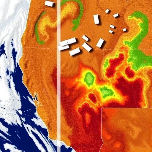
A remarkable contribution of the study is its focus on typical agricultural planting zones—a critical lens given the global stakes associated with food security amid climate variability. By tailoring their evaluation framework to agricultural landscapes, the authors provide practical insights into how remote sensing products can be optimized and validated against agronomic realities. Their findings indicate that remotely sensed precipitation data, while powerful, must be contextualized with crop-specific water needs and soil moisture conditions to fully capture drought impacts on agricultural productivity.
Moreover, the paper discusses the integration of remotely sensed precipitation data with drought indices such as the Standardized Precipitation Index (SPI) and Palmer Drought Severity Index (PDSI). These indices, widely used in drought monitoring, benefit significantly from accurately captured precipitation inputs. Huang et al. confirm that satellite-derived precipitation products can enhance the spatial and temporal resolution of these indices, thereby refining their predictive power and enabling better-targeted mitigation measures in vulnerable farming areas.
Beyond monitoring, the implications of these findings extend to proactive agricultural management. Accurate precipitation assessment aids in irrigation scheduling, crop selection, and risk assessment, ultimately contributing to resilience against climate-induced water stress. The authors envision a future where remote sensing is seamlessly integrated into precision agriculture platforms, offering farmers real-time insights and predictive analytics to optimize resource use and safeguard yields.
Challenges remain, particularly concerning data validation and ground truthing. The study underscores the necessity for expanding and maintaining ground observation networks to calibrate and enhance satellite algorithms continually. This dual system ensures that remotely sensed data remains reliable across varying terrain and climatic conditions, fostering trust among stakeholders in its practical deployment.
Additionally, the researchers call attention to the role of emerging technologies such as machine learning and artificial intelligence in refining precipitation retrieval and drought detection. Preliminary experiments integrating these techniques show promise in reducing errors and improving pattern recognition within complex data sets, suggesting a fertile area for future research and operational development.
The global applicability of this work is significant. While the study focuses on typical agricultural planting zones—often located in mid-latitude regions—the methodologies and conclusions have implications for drought monitoring in diverse agro-ecological contexts, from dryland farming systems to monsoon-dependent agricultural belts. As climate change exacerbates hydrological variability, having robust and scalable tools like advanced remote sensing products becomes indispensable in global food security strategies.
Crucially, Huang and colleagues emphasize interdisciplinary collaboration as a cornerstone for harnessing the full potential of remotely sensed precipitation products. Meteorologists, agronomists, remote sensing specialists, and policy-makers must collectively design frameworks that translate scientific data into practical solutions, bridging the gap between technological capability and on-the-ground necessities.
In conclusion, this pivotal study not only benchmarks the current state of remotely sensed precipitation products in capturing meteorological drought but also charts a visionary path toward integrating satellite data into resilient agricultural systems. As technology evolves and data assimilation techniques advance, the convergence of satellite remote sensing and drought science promises to revolutionize how societies anticipate, manage, and mitigate the impacts of drought, underpinning sustainable agriculture in an uncertain climate future.
Subject of Research: Performance evaluation of remotely sensed precipitation products for monitoring meteorological drought in agricultural regions
Article Title: Performance of remotely sensed precipitation products in capturing meteorological drought over typical agricultural planting area
Article References:
Huang, P., Huang, M., Feng, A. et al. Performance of remotely sensed precipitation products in capturing meteorological drought over typical agricultural planting area. Environ Earth Sci 84, 355 (2025). https://doi.org/10.1007/s12665-025-12258-5
Image Credits: AI Generated
