In the tranquil landscapes of the Jeli District, a pressing issue has emerged that intertwines the lives of humans and elephants, leading to an escalating conflict that threatens both wildlife and local communities. Recent research conducted by Husain et al. highlights the importance of understanding these conflict zones through geospatial analysis, offering insights not only into the dynamics of human-elephant interactions but also providing critical recommendations for mitigation strategies and effective land-use planning. The study serves as a crucial entry point for policymakers and conservationists to develop solutions that prioritize both human safety and wildlife conservation in an increasingly shared habitat.
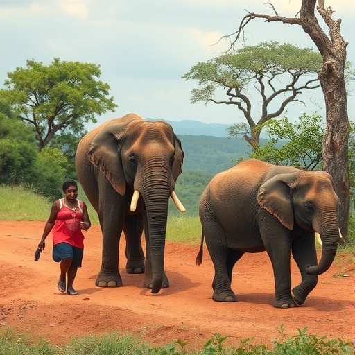
Human-elephant conflict is not merely a local issue; it represents a broader challenge faced by many regions where human encroachment disrupts wildlife habitats. The increasing population and agricultural expansion in the Jeli District have led elephants to venture closer to human settlements in search of food and resources. This close proximity has resulted in devastating consequences for local farmers, leading not only to crop loss but also to direct threats to human safety. As these conflicts escalate, it becomes imperative to adopt a multifaceted approach to address the root causes of the tension between communities and elephants.
The geospatial analysis undertaken by Husain and colleagues plays a pivotal role in mapping the conflict zones within the Jeli District. By employing Geographic Information Systems (GIS), the researchers were able to visualize the areas most vulnerable to human-elephant interactions. This spatial data sheds light on the factors influencing elephant movement patterns, such as proximity to forested regions, agricultural fields, and human habitats. Understanding these movement patterns is key to developing targeted interventions that can effectively reduce conflicts, thereby preserving both biodiversity and community livelihoods.
Moreover, the implications of this research extend beyond immediate conflict mitigation strategies. The data gathered can inform land-use planning by highlighting areas that are critical for both agricultural productivity and elephant conservation. By identifying and creating wildlife corridors that facilitate safer movement for elephants, planners can help to ensure that agricultural activities do not encroach on essential elephant habitats. Such integration of conservation and land use could foster a more sustainable coexistence between humans and elephants in the Jeli District.
In addressing the immediate concerns of farmers facing crop damage from elephant incursions, the study emphasizes the need for alternative livelihood strategies. Educating and empowering local communities about elephant behavior and habitat preferences can drastically reduce misunderstandings that lead to conflicts. For instance, sharing knowledge about non-lethal deterrents, such as planting crops that elephants are less likely to consume, can be a valuable step toward mitigating conflicts. Such community-based approaches ensure that residents feel involved in the conservation efforts and are more likely to adopt practices that benefit both their livelihoods and the local elephant population.
The findings of this research underscore the urgency of collaborative strategies that involve local communities, conservation organizations, and governmental bodies. Establishing official conflict resolution systems, where timely responses to elephant encounters can be made, is critical. Moreover, implementing community-led monitoring systems for elephant movements can enhance the early warning capabilities of local residents, enabling them to take preemptive measures against potential intrusions.
In a broader context, the data drawn from the Jeli District can serve as a model for other regions grappling with similar conflicts. The overarching theme of human-wildlife coexistence is not limited to elephants but resonates with various other species that find themselves in conflict with human activities. By sharing best practices and methodologies derived from the Jeli District study, wildlife conservation advocates can encourage regions worldwide to adopt more integrated approaches to wildlife management.
Another key takeaway from the research is the nexus between climate change and human-elephant conflicts. As climate patterns shift, traditional elephant migratory routes may become disrupted, leading to increased encounters with human populations. Therefore, understanding these environmental changes is crucial for long-term planning and developing resilience strategies that encompass both wildlife conservation and human adaptation. The analysis presented by Husain et al. provides a foundation to explore these complex relationships, paving the way for future research that examines the impacts of climate on wildlife behavior and habitat use.
As urban areas expand and agricultural practices intensify, the likelihood of human-wildlife conflicts will only increase. Therefore, implementing proactive measures based on solid scientific research is imperative. Innovative solutions, such as the use of technology in monitoring elephant populations and movements, can enhance the effectiveness of conflict prevention strategies. Remote sensing and real-time data collection can help to create dynamic responses to emerging conflict situations, bridging the gap between research and practical application.
Furthermore, the role of public awareness cannot be overstated. Education campaigns aimed at informing local populations about the ecological significance of elephants, and the roles they play within their ecosystems, can help to foster a sense of stewardship among communities. When individuals feel a connection to the wildlife around them, they may be more likely to engage in practices that support conservation efforts.
The intersection of human interests and wildlife conservation through the lens of geospatial analysis presents substantial opportunities for innovation. By integrating ecological data with social science methodologies, researchers can better understand the socio-economic dynamics that influence human-elephant interactions. This multifaceted approach is crucial for devising comprehensive conservation strategies that are adaptable to local contexts and sensitive to the needs of communities.
In conclusion, the research conducted by Husain et al. in the Jeli District is a seminal contribution to the field of human-wildlife conflict management. It exemplifies the need for a collaborative, data-driven approach to address the ever-growing tensions between humans and elephants. As the world seeks sustainable solutions to coexist with nature, the insights garnered from this study offer a roadmap for mitigating conflicts and preserving the delicate balance between humanity and the wild.
By focusing on the intersection of technology, community engagement, and ecological understanding, we can hope to advance towards a future where human-elephant coexistence is not just a possibility but a thriving reality. Through continuous efforts in research, policy implementation, and community participation, we can work towards ensuring that regions like the Jeli District become exemplars of harmony between human activities and wildlife preservation.
Subject of Research: Human-elephant conflict zones in the Jeli District
Article Title: Geospatial analysis of human-elephant conflict zones in the Jeli District: implications for mitigation and land-use planning
Article References:
Husain, H., Nor, A.N.M., Abas, M.A. et al. Geospatial analysis of human-elephant conflict zones in the Jeli District: implications for mitigation and land-use planning.
Environ Monit Assess 198, 128 (2026). https://doi.org/10.1007/s10661-025-14967-7
Image Credits: AI Generated
DOI: https://doi.org/10.1007/s10661-025-14967-7
Keywords: Human-elephant conflict, geospatial analysis, land-use planning, conservation strategies, community engagement.
