In an unprecedented exploration of Earth’s geological phenomena, a recent study has unveiled the dramatic scale of the planet’s largest terrestrial landslides. Conducted by esteemed researchers, including O. Korup, T. Pánek, and M. Břežný, the investigation utilized state-of-the-art topographic analysis to determine size estimates of these colossal events. The findings not only shed light on the physical dimensions of these landslides but also provide essential insights into their formation, triggering mechanisms, and potential implications for understanding geological stability.
Landslides, while often perceived as mere slumping earth, comprise a range of mass wasting phenomena that can lead to significant alterations in the landscape. These massive shifts often occur in mountainous terrains, where gravity continually acts upon an array of geological materials. The study emphasizes the critical role of topography— the arrangement of the natural and artificial physical features of an area—in influencing the size and characteristics of landslides.
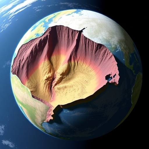
Topographic settings are paramount in determining the dynamics of landslides, with steep slopes serving as prime locations for these geological events. The research reveals that the contours and features of the land can significantly affect how landslides develop, propagate, and ultimately settle. Mountains, hills, and valleys provide varying degrees of gravitational pull and stress distribution, which can either stabilize or destabilize rock and soil masses, leading to the tremendous landslide events seen throughout Earth’s history.
Using advanced remote sensing technology, the researchers meticulously examined large landslides across various geographic regions. This approach allowed for detailed mapping and analysis of these geological formations, permitting the scientists to estimate their sizes and understand their sedimentology. By leveraging digital elevation models and high-resolution topographic data, the researchers accurately quantified the volume and spatial extent of each landslide.
One of the findings indicated that the largest landslides are not merely the result of geological failures but are often influenced by a confluence of factors, including climatic conditions, seismic activity, and human intervention. For instance, prolonged rainfall can saturate the ground, increasing the weight of the soil and triggering catastrophic landslides. Additionally, tectonic movements can destabilize the earth, leading to sudden and disastrous slope failures in highly susceptible areas.
The study also highlighted a fascinating aspect of landslide dynamics: the interaction between various geological materials. Different types of soils and rocks respond uniquely to stress, with some accumulating energy until a point of failure is reached. By analyzing these materials, researchers can gain a better understanding of the mechanics behind these geological events. This knowledge is not merely academic; it has real-world implications for risk assessment and disaster preparedness.
Investing resources in monitoring and studying these landslides could lead to significant advancements in predictive modeling. Understanding when and where landslides are likely to occur can help minimize impacts on communities that find themselves in harm’s way. As studies like this one continue to unfold, they foster a greater understanding of natural hazards, ultimately contributing to public safety and resilience against geological disasters.
Moreover, the research team’s work is instrumental in documenting past events, which helps geologists reconstruct historical landscapes. By analyzing the largest landslides, researchers can better assess long-term geographical and ecological changes. Insights gained from this analysis could also contribute to our understanding of climate change impacts on land stability, offering a glimpse into what future landscapes may look like under changing environmental conditions.
Communication of these findings is essential; educating the public and stakeholders about the risks posed by landslides can lead to better planning and infrastructure development. The researchers advocate for the integration of geological hazard assessments into urban planning, especially in regions where the likelihood of landslides is high. Implementing comprehensive land-use policies that consider geological factors can enhance community resilience.
In the face of climate challenges, such research becomes crucial. As extreme weather events become more common, understanding the natural world—especially phenomena like landslides—can provide vital information for disaster risk reduction strategies. Communities must learn to adapt not only to the immediate effects of climate change but also to the geological consequences that may follow.
The depth of the study conducted by Korup, Pánek, and Břežný invites future research efforts. There is vast potential in examining lesser-known landslides or those in urban settings where human activity may intensify natural processes. It presents an opportunity to investigate how urbanization interacts with geological stability, potentially leading to novel methodologies in assessing and mitigating landslide risks.
This groundbreaking investigation not only enriches our understanding of Earth’s dynamics but also paves the way for future interdisciplinary studies that incorporate geology, ecology, and climate science. As we continue to unlock the secrets of our planet’s surface, we are constantly reminded of nature’s power and unpredictability.
Ultimately, the research underscores the pressing need for societies to engage with their geological environment. As we forge ahead into a future marked by climate uncertainty and rapid human development, the lessons learned from Earth’s largest landslides will resonate. Through continued study and vigilance, we can both appreciate the beauty of our world and safeguard against its more tumultuous tendencies.
In conclusion, the exploration of Earth’s largest terrestrial landslides provides a striking reminder of the forces that have shaped our planet. This research serves not only the scientific community but society at large, highlighting the importance of understanding natural disasters in a rapidly changing world. The interplay of topography, climate, and human influence is complex, and ongoing inquiries will undoubtedly yield valuable insights into the ever-evolving relationship between humans and the Earth beneath our feet.
Subject of Research: Earth’s largest terrestrial landslides and their topographic influences
Article Title: Size estimates of Earth’s largest terrestrial landslides informed by topographic setting
Article References:
Korup, O., Pánek, T. & Břežný, M. Size estimates of Earth’s largest terrestrial landslides informed by topographic setting.
Commun Earth Environ 6, 629 (2025). https://doi.org/10.1038/s43247-025-02614-5
Image Credits: AI Generated
DOI: 10.1038/s43247-025-02614-5
Keywords: landslides, topography, geological hazards, climate change, disaster preparedness, remote sensing
