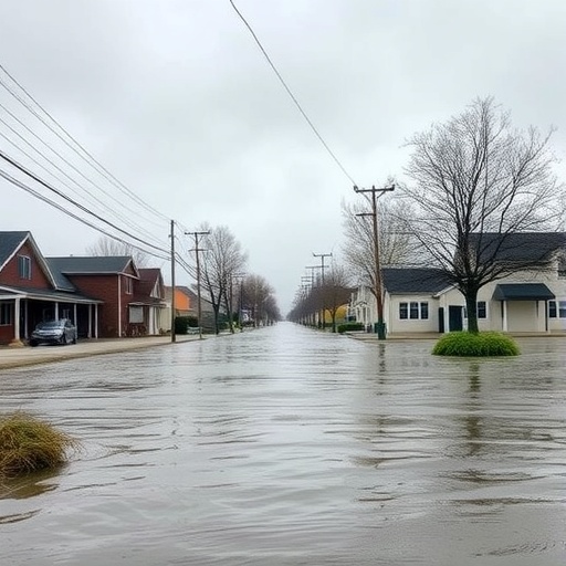
Ground subsidence, a phenomenon exacerbated by extensive human activity such as oil extraction, presents a significant risk factor for flood disasters, particularly in regions like the Liaohe Plain. This area, known for being the largest oil extraction site in the region, has witnessed ongoing and increasing ground subsidence due to continuous crude oil production. The alarming rates of subsidence inflict a dual threat—not only do they transform the topography, making it more susceptible to flooding, but they also compromise the integrity of existing flood control measures.
The alarming patterns of subsidence are marked by a surprisingly slow yet significant decline in ground level, escalating in severity as oil extraction progresses. Since oil extraction activities began, the annual crude output has hovered around 10 million tons, manifesting in widespread and gradual subsidence effects. Over time, this subsidence impacts a vast geographical area, presenting challenges not only for infrastructure but also for agricultural activities that heavily depend on stable land and water resources.
One of the most pressing concerns connected with ground subsidence is its amplifying impact on flood dynamics. As the land sinks, the protective barriers that have historically safeguarded communities from flooding become increasingly less effective. In light of observed events, such as the continuous need to elevate flood control walls in Shanghai—an operation that has been executed multiple times since 1959—it becomes evident that infrastructure needs constant adaptation to keep pace with changing environmental conditions. Such costly adjustments also elevate risks associated with potential flooding when infrastructure fails under pressure from subsiding land.
In cities like Tokyo, subsidence has exceeded 4.5 meters, prompting government initiatives aimed at bolstering flood defenses. The Gentle-Slope Levee Project and the Super Levee Improvement Project, undertaken to combat this critical issue, serve as a testament to the lengths authorities must go to protect densely populated urban areas. By the close of 2008, significant advancements in river dam protection had been achieved, improving the city’s overall flood response capabilities significantly and demonstrating the crucial intersection of subsidence and flood management in urban planning.
Contemplating the effects of global climate change, it becomes vital to recalibrate models that assess flood disaster risk. As this study reveals, incorporating ground subsidence into flood risk assessments provides more granular insights into vulnerabilities faced by riverine territories. By leveraging the Analytic Hierarchy Process (AHP), researchers have developed comprehensive risk assessment models that weigh various influencing factors, including subsidence, rainfall, and population density, thus achieving an understanding of the interplay between human activity and natural hazards.
Nevertheless, monitoring subsidence over extended periods poses practical challenges. The reliance on multi-source observation data covering up to 50 years includes inherent gaps that demand innovative approaches to accurately project future land movements. Among the methodologies employed, a linear subsidence rate was assumed based on observed trends, noting this approach may incur minor inaccuracies against the vast backdrop of subsidence-related changes.
The methodology drew on satellite imagery, combining both optical data and C-band SAR images to enhance the flood mapping process. This combination, while effective, occasionally leads to misrepresentations in areas with nuanced terrain variations, prompting further validation through ground-truth assessments. Human intervention remains critical to ensuring that analytic models reflect reality accurately, particularly in environments characterized by complex interactions between geo-sciences and hydrology.
As the need for effective flood management grows amidst climate crises, the significance of tailored risk assessment methodologies cannot be overstated. Each area presents unique geographical and socio-economic indicators that influence flood risk and necessitate contextualized evaluation methods to enhance resilience against impending disasters.
Collectively, these findings underscore that heavy reliance on groundwater extraction and the continual consequences of human activities, such as oil drilling, can create grave risks—a reality underscored by the subsidence funnels forming in response to these activities. This ongoing situation serves as a wake-up call, suggesting that without proactive intervention strategies, subsidence and its attendant flood risks will only escalate, threatening the safety and well-being of communities across vulnerable landscapes worldwide.
In conclusion, this study acts as an imperative call to action, outlining the major contributions of ground subsidence to flooding issues that can no longer be overlooked. Comprehensive future studies must be directed toward understanding regional adaptation implications while simultaneously integrating local complexities into flood risk assessments. Through such interdisciplinary efforts, it becomes possible to forge paths towards effective hazard management that honors both human environment interactions and sustainable land use practices.
Subject of Research: The impact of ground subsidence on flood disasters due to extensive oil extraction activities.
Article Title: Flood inundation amplified by large-scale ground subsidence funnel under the ongoing global climate change.
Article References:
He, L., Yin, Y., Cai, J. et al. Flood inundation amplified by large-scale ground subsidence funnel under the ongoing global climate change.
Commun Earth Environ 6, 718 (2025). https://doi.org/10.1038/s43247-025-02669-4
Image Credits: AI Generated
DOI:
Keywords: Flood disasters, ground subsidence, oil extraction, climate change, risk assessment, flood management.


