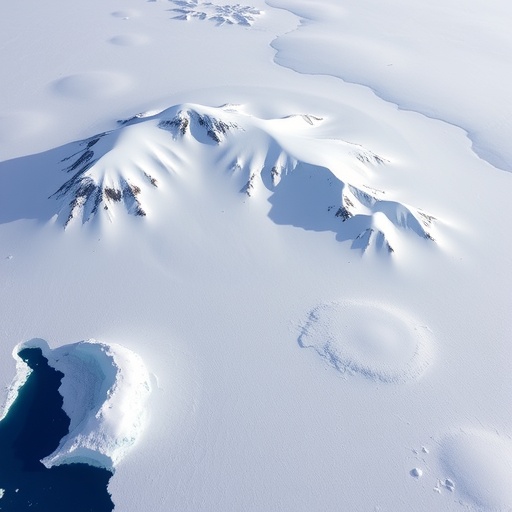
In a landmark study poised to reshape our understanding of Earth’s dynamic crust, researchers from the Technical University of Denmark (DTU Space) have revealed that Greenland is undergoing complex and multifaceted horizontal land motions. These findings challenge previously held assumptions, demonstrating that this vast Arctic island is not only shifting northwestward by several centimeters annually but also experiencing significant areas of both expansion and contraction. This nuanced perspective emerges from precise geodetic measurements coupled with sophisticated geophysical modeling, illuminating how tectonic forces and post-glacial rebound intricately sculpt Greenland’s bedrock.
At the heart of this revelation lies the intricate interplay between Greenland’s melting ice sheets — some of the largest on the planet — and the bedrock’s elastic and viscoelastic responses. Over the past two decades, Greenland has moved approximately 2 cm per year toward the northwest, a shift now quantifiable thanks to a network of 58 Global Navigation Satellite System (GNSS) stations deployed across the island. These stations provide continuous, high-resolution data, enabling scientists to capture subtle movements and deformations of the Earth’s surface with unprecedented accuracy.
The mass loss of ice, accelerated by rising global temperatures, has induced significant reductions in the lithostatic load—the immense pressure exerted by ice mass on the underlying bedrock. This unloading triggers an uplift phenomenon known as glacial isostatic adjustment (GIA), a slow rebound of land previously compressed under the vast weight of ice sheets during the last glacial maximum approximately 20,000 years ago. While the vertical uplift has been studied extensively, the DTU team highlights the critical horizontal movements accompanying these shifts, which have thus far remained underappreciated in geophysical models.
Intriguingly, the research reveals a heterogeneous pattern of land deformation. Greenland’s surface is not uniformly expanding due to ice melting; instead, some regions are experiencing horizontal stretching, effectively increasing surface area, while others undergo compression, leading to localized contractions. This paradoxical behavior arises from the competing influences of recent ice melt-induced uplift pushing the crust outward and the residual effects of prehistoric ice mass redistribution prompting a contracting response. Such competing forces reflect the complex rheological behavior of Earth’s mantle beneath the island.
The extensive geophysical model developed by the researchers integrates data spanning approximately 26,000 years, bridging ancient deglaciation processes with present-day geodynamics. This long temporal perspective allows for more refined differentiation between transient and steady-state deformation phenomena. Coupled with two decades of satellite geodesy, this dual-timescale approach uniquely quantifies how Greenland’s crust continues to evolve under the combined effects of climatic and geological drivers.
The implications of this work extend beyond academic curiosity to practical applications in geodesy, surveying, and navigation. Greenland hosts a network of reference stations crucial for positioning and mapping in one of the planet’s most challenging environments. As these stations themselves slowly move and deform, accurate correction models become indispensable for satellite navigation, climate monitoring, and scientific experiments dependent on precise geospatial data.
Moreover, the study enriches our understanding of climate change feedback mechanisms. As Greenland’s ice mass diminishes, the resultant bedrock motions feed back into local topography and potentially influence ice sheet dynamics by altering stress fields and drainage patterns. Understanding these processes is key to improving predictions of sea-level rise and glacial behavior under future warming scenarios.
Importantly, this research uncovers the complex interdependencies between surface processes and deep Earth mechanics. The viscoelastic response of the mantle, the rigidity of the lithosphere, and the transient redistribution of mass are all factors governing the observed motions. This multi-factorial framework requires integrating geology, geophysics, and climatology, underscoring the interdisciplinary nature of Earth system science.
The study also provides critical baseline data for future monitoring. As Greenland enters an era of accelerating melt rates, ongoing GNSS observations combined with enhanced modeling efforts will remain essential to track evolving landscape changes. This will aid policymakers and scientists alike by providing refined inputs for environmental management strategies in the Arctic.
In linking intricate land deformations to ice mass changes and deeper tectonic motions, the DTU Space-led research constitutes a significant advancement in geophysical science. The meticulous combination of satellite observations with long-term earth modeling presents a new paradigm in our ability to comprehend and predict landmass dynamics in rapidly changing polar environments.
Ultimately, this study underscores the urgency of advancing geodetic networks and analytical capabilities. Only through continued investment in precise geophysical measurements can the scientific community hope to unravel the complex consequences of climate change on Earth’s structural integrity, especially in vulnerable and climatically sensitive regions like Greenland.
Leveraging state-of-the-art GNSS technology and rigorous scientific inquiry, this pioneering work affirms that Greenland’s landmass is a dynamic, breathing entity—reshaped by a delicate balance of ancient ice-age legacies and modern climate forces, a finding both profound and pivotal for the future of Arctic science.
Subject of Research: Horizontal Land Motion and Geophysical Deformation of Greenland’s Bedrock Induced by Ice Mass Changes
Article Title: Estimation and Attribution of Horizontal Land Motion Measured by the Greenland GNSS Network
News Publication Date: 28-Aug-2025
Web References:
Journal of Geophysical Research article
Image Credits: DTU Space
Keywords: Greenland, horizontal land motion, glacial isostatic adjustment, GNSS, ice melt, bedrock deformation, tectonics, geodesy, climate change, Arctic geophysics


