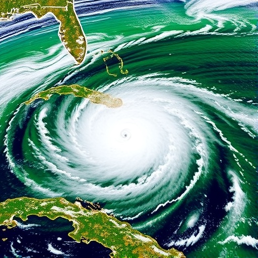
Recent advances in satellite technology are paving the way for groundbreaking research into environmental changes brought about by extreme weather events, particularly hurricanes. A recent study harnesses the combined power of ICESat-2 lidar data and Sentinel-2 satellite imagery to create a detailed and dynamic assessment of forest changes in the aftermath of hurricanes. This innovative approach not only highlights the effectiveness of these advanced observational techniques but also illustrates the significant impact that hurricanes can have on forest ecosystems.
Hurricanes are one of nature’s most formidable forces, wreaking havoc and delivering profound changes to landscapes and ecosystems. Understanding the extent of these changes is essential for effective environmental management and mitigation strategies. In this context, the study led by a team of researchers, including Gautam, Narine, and Anderson, seeks to illustrate how satellite data can be employed to monitor these dramatic shifts in forest cover and health after hurricane events.
The use of ICESat-2 lidar data, which enables highly accurate measurements of tree height and forest structure, has transformed the landscape of forest monitoring. By capturing data from above the canopy, ICESat-2 helps scientists visualize the vertical structure of forests, which can be significantly altered by severe weather events like hurricanes. The integration of this data with the multi-spectral imagery from Sentinel-2, known for its rich color information, allows for an unprecedented view of forest ecosystems, offering insights into species composition, health, and density.
The research team utilized the synergies between ICESat-2’s elevation measurements and Sentinel-2’s spectral capabilities to assess the impact of hurricanes over time. This multi-faceted approach provided a comprehensive perspective not typically achievable with traditional ground-based surveys or single-source satellite data. The results have wide-reaching implications for the understanding of both immediate and long-term effects of hurricanes on forest ecosystems.
One significant finding of the study is the identification of how different forest types respond to hurricane forces. Through meticulous analysis, the researchers observed that certain tree species are more resilient to wind damage and flooding, revealing vital information for forest management practices post-hurricane. Such insights are critical, especially in regions where forest conservation and rehabilitation are essential for biodiversity and ecosystem services.
The methodological approach taken in this study is particularly noteworthy, as it underscores the importance of integrating modern remote sensing technologies for environmental assessment. By combining data from two cutting-edge satellite missions, the researchers demonstrate a way forward for future investigations into the consequences of natural disasters on ecological systems. This dual-data analysis illustrates how technological advancements are revolutionizing traditional ecological assessments, as scientists can now monitor vast areas quickly and with excellent precision.
Moreover, the environmental implications of such research extend beyond academic interest. Stakeholders, including policymakers and conservation organizations, can leverage this information to devise better risk management strategies. Furthermore, understanding post-hurricane forest recovery patterns is vital for promoting resilience in ecosystems that are increasingly threatened by climate change and extreme weather events.
The study also sheds light on the urgency of addressing the impact of climate change on hurricane intensity and frequency. As atmospheric conditions continue to evolve, leading to more severe storms, the need for effective monitoring and assessment becomes paramount. This research emphasizes the proactive measures necessary to safeguard forested regions against future hurricanes and to understand the long-term consequences of such events on carbon storage and habitat stability.
As scientists push the boundaries of remote sensing technology, the collaboration between ICESat-2 and Sentinel-2 opens new avenues for future research across various environmental disciplines. The potential applications of this technology extend beyond hurricanes to include monitoring forest health in response to wildfires, pests, and diseases, bringing us closer to a comprehensive understanding of forest dynamics in the face of multiple stressors.
This study serves as an exemplary model of interdisciplinary research, showcasing the utility of combining advanced technical resources with ecological insights. The implications are significant, not only for the understanding of forest responses to hurricanes but also for broader environmental management efforts worldwide.
The findings underscore the critical role that technology plays in contemporary environmental science, empowering researchers to gather, analyze, and interpret vast amounts of data with unprecedented efficiency. In this age of rapid environmental change, adopting such holistic monitoring approaches may prove key to fostering sustainable ecosystems and, ultimately, human well-being.
In summary, as this research demonstrates, the integration of ICESat-2 lidar data and Sentinel-2 satellite imagery provides a powerful tool for assessing hurricane-driven forest changes. Such innovative approaches represent a leap forward in our ability to understand, monitor, and respond to the impacts of climate change and extreme weather events on vital forest ecosystems.
This breakthrough not only contributes to our understanding of forest dynamics but also sets a new benchmark for using satellite data in ecological research, highlighting the potential for future studies to address pressing environmental challenges on a global scale. The combination of these advanced technologies has truly opened new frontiers in environmental science, providing a clearer picture of the complex interactions between hurricanes and forest ecosystems.
Subject of Research: Assessing hurricane-driven forest changes using satellite data.
Article Title: Synergistic use of ICESat-2 lidar data and Sentinel-2 imagery for assessing hurricane-driven forest changes.
Article References: Gautam, A., Narine, L.L., Anderson, C.J. et al. Synergistic use of ICESat-2 lidar data and Sentinel-2 imagery for assessing hurricane-driven forest changes. Environ Monit Assess 197, 1310 (2025). https://doi.org/10.1007/s10661-025-14749-1
Image Credits: AI Generated
DOI: https://doi.org/10.1007/s10661-025-14749-1
Keywords: Hurricane impacts, forest ecosystems, satellite imagery, ICESat-2, Sentinel-2, environmental assessment, ecological resilience, climate change.
