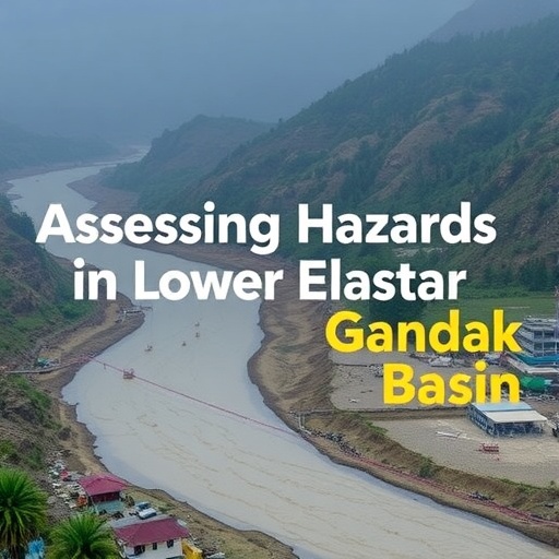
In the ongoing discourse around climate change, flood hazards have emerged as one of the paramount challenges, particularly in regions like the lower Gandak basin in India. Researchers Patel, Ghosh, and Gupta have applied intricate scientific methodologies to assess these hazards, integrating morphometric analysis with hydrological metrics to offer a comprehensive perspective on flood risk. The importance of their findings cannot be overstated as they pave the way for more informed decisions aimed at safeguarding communities against the impending threats that climate volatility imposes.
Flooding is an increasingly frequent phenomenon worldwide, propelled by the changing climate, urbanization, and land use modifications. As rainfall patterns shift and extreme weather events become more common, understanding the underlying factors that contribute to flood risks becomes essential. In this context, morphometric analysis emerges as a sophisticated tool in hydrology, offering a statistical glimpse into the river basin’s characteristics, landform features, and geological underpinnings that influence flood occurrences.
Patel and his team utilized the morphometric compound factor, which is pivotal in quantifying the geometrical properties of the landscape. It provides insights into drainage density, stream frequency, and various shape factors of river networks, all of which play a significant role in hydrological responses to rainfall events. By leveraging data collected from the lower Gandak basin, the researchers were able to derive patterns that reflect how the landscape interacts dynamically with water flow, thus shedding light on the susceptibility of the region to flooding.
The hypsometric integral, another critical analytical tool featured in the study, gauges the distribution of elevation in a watershed. This metric is crucial as it integrates the vertical aspect of the terrain, aiding in understanding how the shape and elevation of land can influence water retention and runoff patterns. By combining both morphometric analysis and the hypsometric integral, the researchers were able to formulate a multidimensional view of flood hazards that accounts for both the horizontal layout of the terrain and its vertical characteristics.
Furthermore, the research highlights the significance of geographical context in flood assessment. The lower Gandak basin, with its unique geological and hydrological settings, presents a distinct case for studying flood risk. Factors like soil type, vegetation cover, and human activities, such as agriculture and urban development, intricately interweave to influence local hydrology. By analyzing these components, the study not only illustrates the immediate flood risks but also points out potential long-term implications for local communities.
The results from Patel, Ghosh, and Gupta’s extensive assessment underscore the urgent need for integrated water resource management policies that can alleviate flood risks in vulnerable regions. The intricate relationship between land use and flood risk calls for conscientious urban planning and adaptive resource management. There is a clear requirement for local governments and policymakers to collaborate with scientists and engineers to implement strategies that minimize human impact on native ecosystems while enhancing the resilience of communities facing flood threats.
Climate adaptation strategies must also be informed by scientific data, like that derived from these research findings. Local communities need to understand their specific vulnerabilities and the mitigating strategies that can be employed. Stakeholder engagement is critical, as informed citizens can better contribute to sustainable practices. The information gained from morphometric and hypsometric analyses can be essential in educational outreach, helping communities comprehend the significance of maintaining natural landscapes and water bodies.
Moreover, technological advancements in data collection, such as remote sensing and geographic information systems (GIS), significantly enhance our ability to analyze and predict flood risks. These tools enable real-time monitoring and streamline the assessment processes, thereby facilitating faster response times to flood threats. The ability to visualize and predict flood scenarios can lead to the creation of more effective public policies aimed at disaster preparedness and response.
The implications of this research go beyond the lower Gandak basin. As other regions face similar challenges sparked by climate change, lessons learned from this study could be applied in diverse geographical contexts. Comparative studies across different river basins could enrich the body of knowledge on flood risks and management strategies, leading to more robust frameworks that integrate scientific knowledge with practical applications.
These findings carry weight in academic circles, inspiring further research into the relationship between landscape morphometry and hydrological responses. Future investigations can delve deeper into how different environmental factors may play a role in shaping flood risks, potentially leading to new methodologies for assessing and managing such hazards elsewhere. The academic community must continue to emphasize interdisciplinary approaches, marrying climatology, geography, urban planning, and environmental science to tackle the pressing issue of floods.
Public awareness and education surrounding flood risks are equally essential. As communities become more informed about their environmental context and the intricacies of flood risks, they will be better equipped to advocate for sustainable practices and policies. Education can serve as a powerful catalyst for change, mobilizing community efforts to adopt better land management practices and enhancing disaster preparedness at the grassroots level.
In conclusion, the investigation by Patel, Ghosh, and Gupta into flood hazards through the lenses of morphometric analysis and hypsometric assessment stands as a valuable contribution to our understanding of environmental risks in flood-prone regions. Their research not only emphasizes the need for comprehensive flood risk assessment methodologies but also highlights the pressing importance of proactive measures in urban and environmental planning to mitigate these risks. As the world grapples with the realities of climate change, studies like this serve as crucial tools in navigating the uncertainties and safeguarding the future of vulnerable communities.
Subject of Research: Flood hazards assessment in the lower Gandak basin, India
Article Title: Assessment of flood hazards using morphometric compound factor and hypsometric integral in lower Gandak basin, India
Article References:
Patel, S.K., Ghosh, P., Gupta, D.S. et al. Assessment of flood hazards using morphometric compound factor and hypsometric integral in lower Gandak basin, India. Environ Monit Assess 197, 1088 (2025). https://doi.org/10.1007/s10661-025-14475-8
Image Credits: AI Generated
DOI:
Keywords: Flood hazards, morphometric analysis, hypsometric integral, lower Gandak basin, climate change, environmental management, hydrology, urban planning.


