In a pressing era of climate change and unpredictable weather patterns, the importance of understanding agricultural droughts cannot be overstated. A new study by Senapati, Srivastava, and Maity published in Environmental Monitoring and Assessment leverages cutting-edge geospatial data and machine learning algorithms to revolutionize the way we assess and map drought hazards on agricultural lands. This innovative approach addresses the critical need for accurate and timely information on drought occurrences, enabling farmers and policymakers to make informed decisions that affect food security and economic stability.
Droughts are notorious for their slow onset and complex dynamics, posing significant challenges to agriculture. Traditional methods of mapping agricultural droughts often rely on outdated data and simplistic models that fail to capture the intricate interdependencies between climatic factors, soil moisture levels, and crop stress. The researchers aimed to overcome these limitations by integrating high-resolution geospatial data with advanced machine-learning techniques, thereby creating a comprehensive drought hazard assessment model tailored for agricultural applications.
The researchers began by compiling a diverse array of geospatial data, including historical climate records, satellite imagery, and soil moisture measurements. This rich dataset served as the foundation for their model, allowing for a more nuanced analysis of drought dynamics. By utilizing machine learning techniques such as random forests and neural networks, they were able to discern complex patterns and relationships within the data that traditional models might overlook.
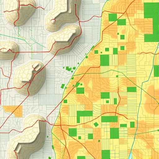
One of the standout features of this research is its high-resolution mapping capabilities. By employing advanced geostatistical techniques, the researchers generated drought hazard maps that not only highlighted areas at risk but also provided insights into the severity and duration of potential drought events. This level of detail is invaluable for farmers, who can use these maps to implement proactive measures, such as adjusting planting schedules, diversifying crop varieties, or enhancing irrigation strategies, tailored to the specific risk levels of their fields.
In addition to practical applications in agriculture, the study’s findings hold significant implications for water resource management and environmental policies. As competition for freshwater resources intensifies, understanding how droughts impact both agricultural and non-agricultural sectors is crucial. The researchers emphasized the importance of using their model to inform water conservation strategies, ensuring that limited resources are allocated efficiently during times of scarcity.
Moreover, the integration of machine learning into the drought assessment process signifies a major advancement in how researchers can analyze environmental data. Machine learning models are inherently adaptive, which means they can continue to improve and refine their predictions as new data becomes available. This presents an unprecedented opportunity for continuous monitoring and updating of drought risk assessments, ultimately leading to more responsive agricultural practices and enhanced resilience against climate variability.
An essential aspect of the study is its accessibility. The researchers have made their drought hazard maps and underlying data available to the public, advocating for transparency and facilitating further research in this vital area. By empowering other scientists, farmers, and decision-makers with this information, the study fosters collaboration and innovation across various sectors, creating a collective movement towards adaptive agricultural practices.
The inter-disciplinary nature of this research also highlights the importance of collaboration between climatologists, agronomists, data scientists, and policymakers. Each stakeholder brings a unique perspective and expertise, enriching the overall understanding of drought impacts and potential mitigative strategies. The findings illuminate the potential for innovative solutions that blend technology with agriculture, ultimately enhancing food security in an era marked by unprecedented environmental shifts.
Furthermore, the study exemplifies a growing trend in using technology to confront global challenges. As nations grapple with the adverse effects of climate change, solutions that harness the power of technology will be paramount. This research not only showcases what’s possible within the realm of agricultural science but also sets a precedent for future studies aimed at addressing environmental issues. With the success of this approach, we can foresee a new wave of scientific investigations that deploy similar methodologies to tackle other pressing ecological challenges.
The impact of this research extends beyond national borders as agricultural droughts are a global concern. Countries facing varying climatic conditions can adapt the methodologies presented in this study to their local contexts. The researchers encourage international collaboration to share data, technology, and best practices, recognizing that climate-related issues are inherently interconnected across the globe.
Ultimately, the high-resolution agricultural drought hazard mapping outlined in this study opens a new chapter in the narrative surrounding climate resilience. This research not only equips stakeholders with tools to better prepare for and respond to drought events but also fosters a broader conversation about sustainable agricultural practices in the face of ongoing climate change. By embracing the potential of geospatial data and machine learning, we can forge a path toward greater resilience and adaptability in our food systems.
As we look to the future, the advancements brought forth by this study remind us of the critical role that innovation plays in tackling environmental challenges. The intersection of technology and agriculture offers a wealth of opportunities for enhancing sustainability, ensuring food security, and safeguarding the planet for generations to come.
With these insights and tools, we are better positioned to face the challenges posed by drought and climate change. The call to action is clear: we must harness the power of data and technology, work collaboratively, and remain vigilant in our efforts to ensure a sustainable future for agriculture worldwide.
By meticulously detailing how geospatial data and machine learning can revolutionize our understanding of agricultural droughts, this research paves the way for a more resilient agricultural landscape. The commitment to open data and collaborative practice only serves to heighten its impact, empowering communities everywhere to take charge of their agricultural futures in an uncertain climate landscape.
In conclusion, this pioneering study is not just a significant scientific achievement; it is a beacon of hope for farmers, policymakers, and communities affected by drought. By establishing a framework for high-resolution mapping of drought hazards, Senapati, Srivastava, and Maity have made strides in our quest for sustainable agricultural practices. Only through continued research, innovation, and collaboration can we hope to navigate the complexities of an increasingly variable climate.
Subject of Research: Agricultural Drought Hazard Mapping Using Geospatial Data and Machine Learning
Article Title: High-resolution agricultural drought hazard mapping using the potential of geospatial data and machine learning approaches.
Article References:
Senapati, U., Srivastava, A. & Maity, R. High-resolution agricultural drought hazard mapping using the potential of geospatial data and machine learning approaches.
Environ Monit Assess 197, 1195 (2025). https://doi.org/10.1007/s10661-025-14538-w
Image Credits: AI Generated
DOI: 10.1007/s10661-025-14538-w
Keywords: agricultural drought, geospatial data, machine learning, drought mapping, environmental assessment, climate change, sustainability, food security.
