In the labyrinth of urban landscapes, the invisible boundaries created by infrastructure often dictate the rhythms of daily life and shape the contours of opportunity. Elizabeth Roberto, a sociologist at Rice University, delves into this intersection of physical space and social inequality, exploring how the very design of cities perpetuates patterns of segregation and uneven access to vital resources. Her work, recently recognized with a prestigious $500,000 CAREER Award from the National Science Foundation, offers a transformative lens for understanding how seemingly mundane features—dead-end streets, highways, fences, and railway tracks—forge tangible barriers that reinforce racial and economic divides across American metropolitan areas.
Roberto’s inquiry began during her time as a graduate student in New Haven, Connecticut. Observing the urban fabric, she confronted a question raised by subtle, yet striking, geographical anomalies: Why do some neighborhoods appear seamlessly connected while others are suddenly cut off by streets that stop abruptly? These incomplete roadways, often dismissed as inconsequential quirks, revealed to Roberto the profound implications of spatial disconnection. It was a puzzle that demanded systematic investigation—one that she has been meticulously unraveling for years.
Traditional studies on residential segregation have predominantly examined socioeconomic variables, personal choices, or systemic discrimination as explanatory frameworks. However, Roberto’s pioneering approach brings to light the crucial role of the built environment itself. By integrating methodologies such as satellite imagery analysis, historic map interpretation, and advanced artificial intelligence, her team reconstructs the physical realities that underlie social divisions. This fusion of data-driven spatial analysis and sociological theory enables a multidimensional exploration of urban inequality that transcends conventional narratives.
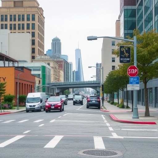
The essence of Roberto’s research lies in assessing how intentional or incidental infrastructural decisions influence long-term social outcomes. For example, highways frequently constructed through minority or disenfranchised neighborhoods do more than facilitate transportation; they create formidable barriers that reduce neighborhood integration and limit residents’ access to essential services, including quality schools, healthcare, and public transit. Similarly, dead-end streets—urban cul-de-sacs—while often considered safer or quieter residential features, can contribute to social isolation by restricting pedestrian and vehicular flow, thereby constraining mobility and interaction beyond the immediate enclave.
Her multiyear research project ambitiously spans fifty U.S. cities, aiming not only to document existing infrastructural layouts but also to innovate new metrics for spatial disadvantage. By identifying not just what exists in a neighborhood but crucially what is absent, Roberto’s work sheds light on the silent mechanisms through which urban design shapes access to opportunity. This approach recognizes that exclusion can operate as much through absence—missing connections, lack of transit options—as through visible physical barriers. It calls for a recalibration of how urban inequality is mapped and measured.
Technically, Roberto’s methodology leverages high-resolution satellite images analyzed with machine learning algorithms capable of detecting subtle variations in street connectivity and neighborhood permeability. These technological tools are coupled with historical analysis, including the study of redlining maps and zoning policies that reveal the institutionalized roots of present-day urban form. The integration of these diverse data streams allows her team to isolate the impacts of built infrastructure from other social factors, providing clarity on how spaces are engineered and experienced over time.
At Rice University, Roberto is channeling her research into pedagogical innovation. She is developing interdisciplinary courses that blend spatial analytics, urban sociology, and data science, equipping students to engage critically with the spatial dimensions of inequality. This educational initiative reflects her commitment not only to producing knowledge but also to fostering a new generation of scholars and practitioners who can navigate and address the complexities of urban systems.
Further extending her impact, Roberto plans to create an interactive, publicly accessible web platform that will democratize data on urban infrastructure and segregation. This tool aims to empower policymakers, community leaders, and researchers with actionable insights, catalyzing informed decision-making and inclusive urban planning. By visualizing the tangible effects of infrastructural choices, the platform aspires to transform abstract data into a compelling narrative that can mobilize change at multiple levels.
Roberto’s research poignantly underscores that the roads we build—and the ones intentionally left incomplete—tell profound stories about who belongs in a city and who is excluded. Her work shifts the discourse from abstract socioeconomic theories to concrete examinations of sidewalks, streets, and rails, transforming invisible social divides into visible spatial realities. It challenges urbanists and policymakers to reckon with the legacy of infrastructural segregation and to envision cities as equitable spaces that physically enable opportunity.
In a broader sense, the research invites society to reconsider the politics of urban design and its role in shaping social mobility. It highlights the importance of infrastructure not merely as facilitative fabric but as a mechanism of social control, shaping patterns of movement, interaction, and ultimately, life chances. Roberto’s findings suggest that addressing inequality requires more than economic redistribution or policy reform; it demands a fundamental reimagining of how urban space is constituted and connected.
The complexity of urban systems necessitates multifaceted tools and frameworks, and Roberto’s interdisciplinary approach exemplifies this ideal. By combining rigorous sociological theory with cutting-edge geospatial technologies and historical context, her scholarship enriches our understanding of spatial justice. It reveals the persistent echoes of historical injustices in contemporary infrastructure and opens pathways for restorative urban design.
Ultimately, Elizabeth Roberto’s work is a clarion call for visibility—making the invisible barriers visible, quantifiable, and open to intervention. In doing so, it reframes the physical environment as not just backdrop but an active agent in the reproduction of inequality. For cities striving towards inclusivity and fairness, her research provides essential evidence and innovative tools to rethink infrastructure as a canvas of social possibility rather than division.
Subject of Research:
The impact of urban built environment features such as dead-end streets, highways, fences, and railroad tracks on residential segregation, neighborhood separation, and equitable access to public resources in U.S. cities.
Article Title:
Bridging the Divide: How Infrastructure Shapes Urban Inequality Across America
News Publication Date:
[Not specified in original content]
Web References:
- Elizabeth Roberto’s faculty profile: https://profiles.rice.edu/faculty/elizabeth-roberto
- National Science Foundation: https://www.nsf.gov/
Keywords:
Urbanization, Highways, Roads, Streets, Urban studies, Spatial analysis, Residential segregation, Infrastructure, Social inequality
