In an era marked by rapidly changing climate patterns and escalating urban vulnerabilities, the imperative to understand and manage flood risks in metropolitan areas has never been more critical. A pioneering study conducted by Yılmaz and Alemdar sheds new light on this issue by melding sophisticated multi-criteria decision-making techniques with advanced Geographic Information Systems (GIS) to generate highly detailed and actionable flood risk maps. Focused on Yakutiye, a district in Erzurum, Türkiye, this research exemplifies the forefront of disaster risk assessment and urban planning in flood-prone environments.
The heart of this study lies in the integration of diverse hazard and vulnerability factors, enabling a nuanced portrayal of flood risk that transcends simplistic models. The authors recognized that flood risk is not merely a function of physical hazard but is deeply intertwined with the susceptibility of local communities and infrastructure. By incorporating vulnerability indexes—comprising socio-economic data, land use patterns, and critical infrastructure sensitivity—with hydrological and topographical variables, the researchers constructed a composite flood risk framework that captures the complexity of urban ecosystems.
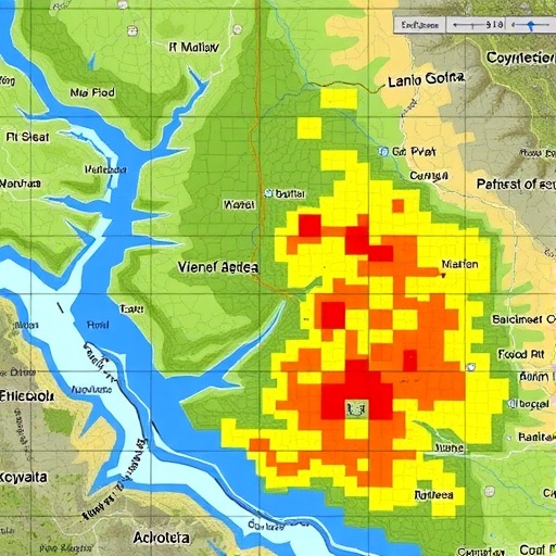
GIS technology played an indispensable role in this analytical endeavor. The spatial data infrastructure facilitated the layering and synthesis of flood hazard zones with vulnerabilities at a granular scale, down to neighborhood blocks. This approach allowed the researchers to identify hotspots where the confluence of high hazard probability and elevated vulnerability intensified flood risk. Such spatial precision is invaluable for disaster management authorities, enabling targeted mitigation strategies that optimize resource allocation.
The methodological backbone of the research leveraged multi-criteria analysis (MCA), a decision-support tool adept at balancing conflicting and diverse factors to generate priority rankings. In the context of this study, MCA allowed the weighting of hazard components—such as rainfall intensity, drainage density, and slope gradient—against vulnerability indicators like population density, economic status, and urbanization patterns. The outcome was a dynamic, flexible flood risk index adaptable to varying urban contexts and amenable to updates as new data become available.
Crucially, the authors emphasize the dynamic nature of flood risk, arguing that static maps inadequately reflect the flux in urban morphology and climate drivers. Hence, the GIS-based MCA framework is presented as a living system capable of iterative refinement, integrating real-time sensor data or community reports to enhance situational awareness. This feature positions the model not just as a predictive tool but also as a decision aid during actual flood events.
The study’s case focus on Yakutiye offers insights into regional urban challenges. Erzurum’s climatic profile, characterized by severe winters and spring snowmelt, predisposes it to flash flooding, exacerbated by rapid urban expansion and insufficient drainage infrastructure. By applying their comprehensive assessment framework here, Yılmaz and Alemdar highlight the particular vulnerabilities of mid-sized urban centers in transitional climate zones—often overlooked in global disaster literature dominated by mega-cities.
Importantly, the flood risk maps generated revealed a heterogeneous landscape of risk across Yakutiye, with certain sectors, especially those near watercourses and on low-lying plateaus, identified as critical risk zones. These areas, frequently home to lower-income populations and scattered informal settlements, face disproportionate exposure, underscoring the intersection of environmental hazards and social vulnerability—an area of increasing interest among disaster risk reduction scholars.
From a policy perspective, the findings impel a shift towards more integrated urban planning paradigms. The detailed risk maps provide empirical foundations for zoning regulations, early warning system placement, and infrastructure upgrades tailored to the complex interplay of physical and social factors. This precision is essential given constrained municipal budgets and competing development priorities.
The study also underscores the value of multi-disciplinary collaboration, combining hydrology, urban geography, socio-economics, and computer science to tackle flood risk comprehensively. Such integrative approaches align with global frameworks like the Sendai Framework for Disaster Risk Reduction, which advocates for holistic risk assessment methods that incorporate social vulnerability and hazard dynamics.
For the scientific community, the paper contributes a replicable methodology adaptable to diverse urban settings worldwide. The coupling of MCAs with GIS-based spatial analysis addresses a critical gap in flood risk literature, where most models tend to focus narrowly on physical hazard mapping, neglecting socio-economic factors that often govern resilience.
Moreover, the research hints at the potential for integrating emerging data streams from the Internet of Things (IoT), such as real-time rainfall gauges and urban drainage sensors, into the framework, paving the way for smart city applications in disaster risk management. Such advancements could revolutionize early warning systems by aligning hazard forecasts with localized vulnerability profiles.
In terms of data challenges, the authors acknowledge the limitations of available socio-economic and infrastructural datasets, which are often outdated or incomplete in rapidly changing urban landscapes. They advocate for improved data collection practices and community engagement to enhance the accuracy and acceptance of risk assessments, a call that resonates with ongoing efforts to democratize flood risk knowledge.
The role of climate change is implicit throughout the study, given the observed changes in precipitation patterns and extreme weather events affecting Erzurum and similar regions. By establishing a robust baseline of flood risk under current conditions, this research sets the stage for scenario modeling that incorporates climate projections, thereby informing adaptive urban development strategies in the face of uncertainty.
On a societal level, the study’s insights can empower local stakeholders by visualizing flood risks in a compelling spatial format, fostering greater awareness and preparedness at the community level. When combined with participatory mapping exercises, such tools can democratize disaster risk reduction and enhance social cohesion in vulnerable neighborhoods.
The article concludes with a call for integrating flood risk mapping into broader urban resilience planning, emphasizing that tackling flood hazards requires concerted efforts across sectors—urban planning, public health, emergency response, and environmental management. The comprehensive approach demonstrated in Yakutiye serves as a blueprint for other cities confronting similar threats globally.
As extreme weather phenomena become more frequent and urban populations swell, studies like this illuminate the path forward by harnessing cutting-edge geospatial technologies and multi-disciplinary methodologies to safeguard communities. The integration of vulnerability and hazard factors through advanced GIS and multi-criteria techniques represents not just an academic achievement but a vital tool in the global quest to build safer, more resilient cities.
Subject of Research: Flood risk mapping and assessment in urban environments through combined vulnerability and hazard analysis using multi-criteria decision-making and GIS technologies.
Article Title: Mapping and assessment of flood risk based on vulnerability and hazard factors in urban areas through the integration of multi-criteria techniques and GIS: A case study in Yakutiye, Erzurum, Türkiye.
Article References:
Yılmaz, M., Alemdar, K.D. Mapping and assessment of flood risk based on vulnerability and hazard factors in urban areas through the integration of multi-criteria techniques and GIS: A case study in Yakutiye, Erzurum, Türkiye. Environ Earth Sci 84, 435 (2025). https://doi.org/10.1007/s12665-025-12393-z
Image Credits: AI Generated
