


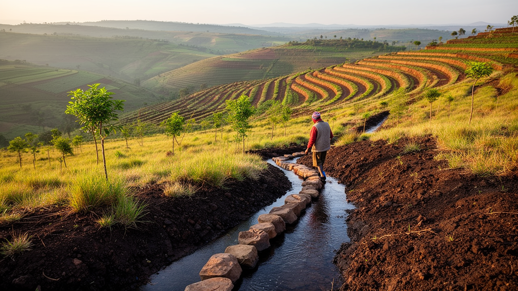
Integrated watershed management was associated with lower estimated soil loss and sediment yield in Ethiopia’s Fettam River watershed between 1991 and 2023, according to a study using the Revised Universal Soil Loss Erosion Model within a raster-pixel geographic information system and remote-sensing framework. Researchers estimated that average annual soil loss declined by 43.5%, from 22.1 to 12.5 tonnes per hectare per year, while estimated sediment yield fell by 39.6%, from 19.4 to 11.7 tonnes per hectare per year. The results describe watershed-scale conditions accompanying the use of physical, biological and agronomic management measures; they do not isolate the effect of any one intervention.
The research focused on the Fettam watershed in the Ethiopian Highlands, where integrated watershed management has been practiced since the 1980s. The study assessed changes across four modeled years: 1991, 2001, 2014 and 2023. Annual soil-loss estimates were 22.1, 18.7, 16.5 and 12.5 tonnes per hectare per year, respectively. Estimated sediment yield followed a similar trajectory, declining from 19.4 to 17.5, 14.7 and 11.7 tonnes per hectare per year. The study therefore recorded lower modeled erosion and sediment-export rates at each successive assessment.
Soil loss was estimated using five dominant RUSLE parameters: soil erodibility, rainfall erosivity, topographic slope and length, cover and management, and watershed support practices. These inputs were calculated in an Ethiopian context and applied through a raster-pixel GIS and remote-sensing framework. The analysis is model-based rather than a direct measurement of every hectare or sediment-export pathway. Its reported differences characterize the watershed’s changing erosion and sediment conditions under the integrated management program.
Land-cover change accompanied the lower estimates. The combined area of natural and plantation forests increased from 5,459 hectares, representing 5.1% of the watershed, in 1991 to 11,248 hectares, or 10.3%, in 2023. This expansion occurred at the expense of cultivated land, grazing land and shrubland. The authors interpreted the increase in vegetation coverage together with the wider package of physical, biological and agronomic measures as evidence that integrated watershed management contributed to reduced soil erosion and sediment export over the three decades.
The study also mapped where erosion remained most consequential. In 2023, approximately 96% of the watershed fell within a tolerable erosion class of zero to 5 tonnes per hectare per year. Less than 3.5% was classified as moderately susceptible, with estimated soil loss of 10 to 25 tonnes per hectare per year, and about 0.5% was classified as highly susceptible to severe erosion, above 25 tonnes per hectare per year. These susceptibility classes identify the proportion of the watershed associated with different modeled erosion levels despite the decline in the watershed-wide average.
Spatial analysis identified the upstream and downstream sections as priority areas requiring strengthened conservation measures, compared with the relatively stable midstream area. The finding provides a basis for concentrating conservation efforts within the watershed rather than treating all parts of it as having the same erosion conditions. The research also offers practical insight into how changes in vegetation cover and the application of integrated management practices correspond with modeled reductions in soil loss and sediment yield.
Overall, the study reports a progressive decrease in both estimated annual soil loss and sediment yield across four assessment years from 1991 to 2023. Its central result is that the integrated application of physical, biological and agronomic measures at the micro-watershed level coincided with substantial reductions in modeled erosion and sediment export. The evidence supports a contribution from the broader management package, while the study’s design does not establish how much of the reduction came from any individual measure.
The research was published as an accepted open-access article in Discover Sustainability on 20 September 2026. The publisher states that this version is provided for faster access, is citable and carries a permanent DOI, but remains subject to further editorial changes and will be replaced automatically by the final version of record. The findings are specific to the Fettam watershed and its modeled assessment years, and the authors identify upstream and downstream conservation priorities for future watershed planning.
Subject of Research: Effects of integrated watershed management on soil erosion and sediment yield in Ethiopia’s Fettam watershed
Article Title: Impacts of integrated watershed management practices on soil loss and sediment yield in the Fettam watershed, Ethiopian Highlands
Article References: Fentahun, T., Legese, G., & Elias, E. (2026). Impacts of integrated watershed management practices on soil loss and sediment yield in the Fettam watershed, Ethiopian Highlands. Discover Sustainability. https://doi.org/10.1007/s43621-026-04583-x
Image Credits: AI Generated
DOI: 10.1007/s43621-026-04583-x
Keywords: integrated watershed management, soil erosion, sediment yield, RUSLE model, Ethiopian Highlands, Fettam watershed, remote sensing, vegetation cover, environmental conservation, watershed planning, Impacts, integrated
Cite Scienmag News
Violet Maxwell. (October 26, 2026). Integrated watershed management linked to lower soil erosion in Ethiopia. Scienmag. https://scienmag.com/integrated-watershed-management-linked-to-lower-soil-erosion-in-ethiopia/
Violet Maxwell. "Integrated watershed management linked to lower soil erosion in Ethiopia." Scienmag, 26 October 2026, https://scienmag.com/integrated-watershed-management-linked-to-lower-soil-erosion-in-ethiopia/. Accessed 26 October 2026.
Violet Maxwell. "Integrated watershed management linked to lower soil erosion in Ethiopia." Scienmag. October 26, 2026. https://scienmag.com/integrated-watershed-management-linked-to-lower-soil-erosion-in-ethiopia/


