


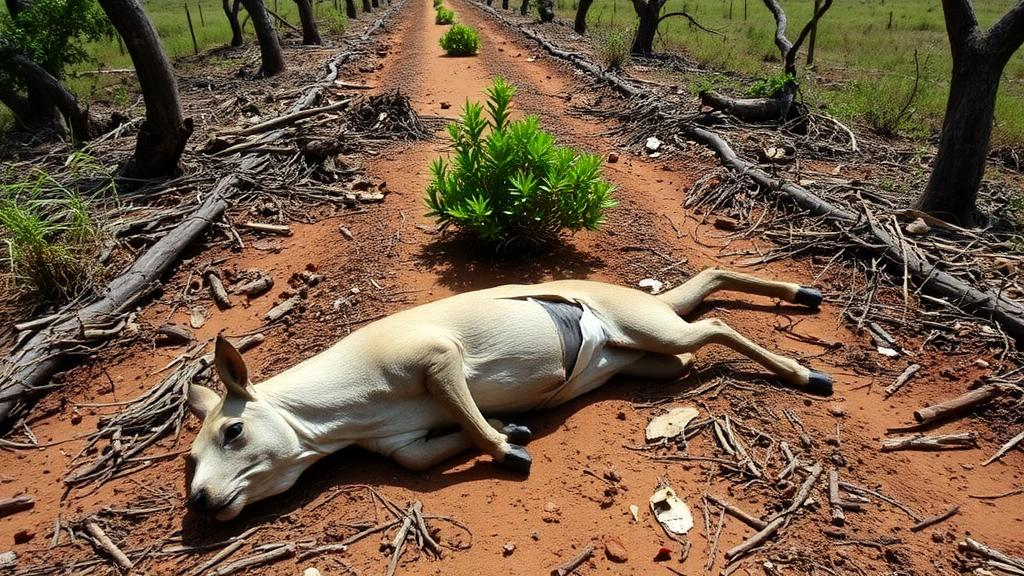
A quiet stretch of highway cutting through Paraguay’s Humid Chaco has become the site of the country’s first systematic effort to map where and when vehicles kill wild animals. Along a 50-kilometre section of National Route PY05 east of the town of Pozo Colorado, researchers recorded 272 vertebrates killed by traffic over a year and a half of monitoring, from November 2020 to May 2022. The findings, published in the journal One Ecosystem, offer the most detailed picture yet of how a paved road slices through one of South America’s most biologically rich and least studied landscapes.
The Humid Chaco occupies a special place in Paraguay’s natural geography. The Gran Chaco Americano, a semi-arid biome stretching from southeastern Bolivia into central Argentina, covers more than 60 percent of Paraguay’s territory, and its humid variant teems with vertebrate life. Savannahs, wetlands and gallery forests intermingle in an ecotonal mosaic between the Chaco, the Cerrado, the Atlantic Forest and the Pampa grasslands. Armadillos, jaguars, maned wolves, giant anteaters, tapirs, crowned eagles and a host of amphibians and snakes share a landscape of palm savannahs and seasonal marshes fed by the alluvial megafan of the Pilcomayo River. Yet the region is also one of the least populated and least road-developed parts of the country, with population densities between 0.2 and 1.7 inhabitants per square kilometre, and it has suffered some of the highest deforestation rates on Earth, losing up to 45 percent of its extent by 2019 largely to cattle ranching.
That tension between development and biodiversity is precisely what makes road ecology urgent here. Globally, paved road density tracks economic growth and resource extraction, bringing habitat fragmentation, deforestation and rising extinction risk. Wildlife vehicle collision fatalities are increasingly recognised as a major cause of mortality for threatened species. In Paraguay, however, road ecology studies remain scarce and in their infancy; only a handful of the country’s 22 national routes have ever been surveyed. The new study was conducted as part of an Environmental Management Plan approved by the Ministry of the Environment, tied to public tender No. 571/2020 for road reconditioning works, and the team documented the experience as comprehensively as possible to establish a baseline for longer-term research.
The methodology was deliberately rigorous. A multidisciplinary team including a specialist from each vertebrate group drove the route at a constant 40 kilometres per hour every two months, completing ten sampling campaigns and roughly 2,500 kilometres of survey effort, equivalent to about 50 traverses of the section. Each campaign involved at least two tours on consecutive days, typically between 6:00 and 11:00 a.m. with an additional late-afternoon session, and on hot days reaching 28 to 45 degrees Celsius the team started as early as 3:00 a.m. to beat the raptors and scavengers that rapidly remove carcasses. Every animal found was photographed, geolocated with GPS coordinates and identified to species where possible, then removed from the road to prevent double counting. From March 2021 onward, a timestamp camera application recorded coordinates, date and time for each image, alongside weather conditions.
The results were striking in their composition. Reptiles dominated the toll with 112 individuals, followed by 87 amphibians, 38 birds and 35 mammals, a pattern highlighting the vulnerability of small-bodied animals. In species terms, the carcasses represented at least 20 reptile species, 12 amphibian species, 13 bird species and 11 mammal species, including two exotics: a domestic dog and a feral pig. The common toad Rhinella diptycha was the most frequent victim with 29 individuals, followed by the snake Dryophylax hypoconia with 26 and the crab-eating fox Cerdocyon thous with 19, which alone accounted for more than half of all mammal records. Several species appeared only once, among them a neotropical otter, a capybara, a coati and a lesser anteater. Remarkably, one carcass belonged to a bat, Lasiurus ega, identified for the first time in Paraguay.
None of the recorded victims, however, was a threatened species. All affected animals are relatively common with wide national distribution ranges, a notable contrast with earlier Paraguayan studies on Route PY09 that documented roadkill of vulnerable giant anteaters and near-threatened maned wolves, river otters and howler monkeys. The authors caution that this apparent reprieve may reflect the short monitoring window rather than genuine safety, and they stress that longer-term studies are essential to detect cumulative impacts on rarer species that cross roads infrequently.
Statistical analysis revealed where deaths concentrate. Using kernel density estimation to build heat maps, Ripley’s K statistic to test whether clusters could arise by chance, and a linear Ripley model in the Siriema software with a 99 percent confidence interval, the team identified three critical hotspots: kilometres 5 to 5.5, coinciding with the only permanent stream on the site; kilometres 33.5 to 34.5, where the largest nearby forest patch is bisected by the road; and kilometres 40 to 43, bordering the southern flank of a 750-hectare forest block. Ripley’s K confirmed significant clustering between kilometres 11 and 15.5 and between 43 and 44. The association with watercourses echoed earlier Paraguayan work, but the link between roadkill hotspots and intersections with forest patches had not been reported before and is considered highly relevant for future environmental impact assessments in palm-savannah landscapes.
Climate, by contrast, played a surprisingly modest role. Temperature showed no strong fit with collision numbers, and humidity explained almost none of the variation, though activity peaked between 25 and 35 degrees Celsius and 40 to 80 percent ambient humidity. The one clear exception was birds, which declined under stronger winds, consistent with wind’s known influence on flight activity. The study period also coincided with the cold La Niña phase of the El Niño Southern Oscillation, which brought cooler temperatures and below-normal rainfall, adding a layer of climatic anomaly the authors flag when interpreting seasonal patterns. Two mortality peaks emerged, in January 2021 and November 2021, driven largely by amphibian and reptile activity, and reptiles were the only group recorded in every single campaign.
Standardised, size-corrected roadkill rates sharpened the picture further. Because small animals are harder to detect and disappear faster to scavengers, the team applied correction factors based on body-mass categories and carcass persistence estimated with the Kaplan-Meier method. The resulting annual rates placed the crab-eating fox at the top with 592 individuals per kilometre per year, followed by the common toad at 292, the yacare caiman at 287 and the snake Dryophylax hypoconia at 235. The overall Kilometre Abundance Index came to 0.109, lower than figures reported for the Colombian and Peruvian Andes, the Gulf of Mexico and central Argentina, likely reflecting lighter traffic and differences in regional biodiversity. The fox result mirrors Brazilian data where the species can represent up to 61 percent of mammal roadkill records, while the prominence of toads echoes findings from Ecuador and even Europe, underscoring how universally vulnerable these animals are to roads.
The study’s practical implications are direct. The authors recommend wildlife passage structures designed for local species, signage and speed control measures on a route where traffic exceeds 120 kilometres per hour, and mandatory road-ecology monitoring for all future road construction in the country. They also call for attention to smaller animals, including invertebrates, whose under-reporting is inevitable with current methods, and for long-term programmes to assess cumulative effects. With road expansion planned across the region, including Route PY09 where bat collision risk could rise twelvefold, the baseline established on this unassuming Chaco highway may prove decisive in determining whether Paraguay’s remarkable wildlife can coexist with its accelerating development.
Subject of Research: Wildlife roadkill patterns on a highway in the Humid Chaco of Paraguay
Article Title: Analysis of patterns related to wildlife roadkill in the Humid Chaco of Paraguay
Article References: Cartes Yegros, J. L., Santacruz, M., Gómez, D., Ferreira Riveros, M., del Castillo, H., Sforza, L., Rivas, D., & Cacciali, P. (2024). Analysis of patterns related to wildlife roadkill in the Humid Chaco of Paraguay. One Ecosystem, 9, Article e127214. https://doi.org/10.3897/oneeco.9.e127214
Image Credits: AI Generated
Keywords: road ecology, wildlife roadkill, Humid Chaco, Paraguay, hotspots, amphibians, reptiles, kernel density, Ripley's K, conservation, roadkill rates, Cerdocyon thous
Cite Scienmag News
Margaret Porter. (October 19, 2026). Roadkill Hotspots Reveal Hidden Toll on Wildlife in Paraguay’s Humid Chaco. Scienmag. https://scienmag.com/roadkill-hotspots-reveal-hidden-toll-on-wildlife-in-paraguays-humid-chaco/
Margaret Porter. "Roadkill Hotspots Reveal Hidden Toll on Wildlife in Paraguay’s Humid Chaco." Scienmag, 19 October 2026, https://scienmag.com/roadkill-hotspots-reveal-hidden-toll-on-wildlife-in-paraguays-humid-chaco/. Accessed 19 October 2026.
Margaret Porter. "Roadkill Hotspots Reveal Hidden Toll on Wildlife in Paraguay’s Humid Chaco." Scienmag. October 19, 2026. https://scienmag.com/roadkill-hotspots-reveal-hidden-toll-on-wildlife-in-paraguays-humid-chaco/


