


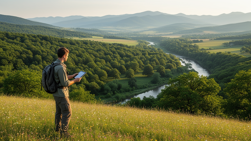
In the rolling hills of western Bulgaria, a team of researchers has done something surprisingly rare: they have mapped every forest habitat type in an entire municipality, down to a scale fine enough to guide conservation decisions on the ground. The study, published in the journal BioRisk, covers Breznik municipality, a 404-square-kilometer patchwork of mountains, valleys and woodlands, and reveals a landscape shaped as much by decades of human intervention as by nature itself.
Forests cover roughly a third of Bulgaria’s territory and supply about 85 percent of the country’s water flow, making them central to national well-being. Yet detailed, municipality-level knowledge of forest ecosystems has been scarce. Before this study, only two papers had ever addressed the forest vegetation of Breznik, both dating back decades. The new work set out to close that gap by producing a complete habitat map following the European Nature Information System, or EUNIS, the classification framework used across Europe for habitat inventories, monitoring and protected area management.
The research combined old records with fresh fieldwork. The team started with data from the Ministry of Environment and Water and from Forestry Management Plans, then processed forest habitat polygons spatially using ArcGIS 10.8.1 software. During the 2021 field season, they collected 150 vegetation relevés following the classic Braun-Blanquet approach and verified vegetation types at an additional 135 GPS points, recording coordinates with a Trimble Juno device and checking everything against the latest orthophoto imagery. The final map was drawn at a scale of 1:5000, with polygons merged, deleted, created and redrawn as the evidence demanded. Habitat types were assigned using the EUNIS-ESy expert system integrated into the JUICE 7.1 software.
The result: eight distinct EUNIS forest habitat types, mapped across 322 polygons covering 147.51 square kilometers. The dominant tree species across the municipality’s natural and semi-natural forests are sessile and Hungarian oaks, European beech and hornbeam, the classic broadleaved combination of the Bulgarian semi-mountains. But the single most widespread habitat type turned out not to be natural forest at all. Coniferous plantations of site-native trees, mainly Austrian pine and Scots pine, cover 64.9 square kilometers, spread across 189 polygons in the northern, western and southern parts of the municipality.
Those pine plantations tell a story of mid-twentieth-century desperation. Planted in the 1950s through 1970s to battle soil erosion, they now occupy terrain that had been cleared for pastures decades earlier. On eroded carbonate terrains with shallow soils, the black pines struggle, averaging just three to five meters in height and forming semi-open stands. Some polygons have burned or been heavily logged and are transitioning into woodland-shrub complexes dominated by downy oak, manna ash and cornel. The second-largest habitat type, the Carpinus and Quercus mesic deciduous forest at 35.2 square kilometers, occupies northern and western slopes between 600 and 1000 meters, forming closed-canopy stands of hornbeam and sessile oak with a characteristically sparse herb layer.
Beech forests split into two ecologically different worlds. On the limestone and dolomite substrates of the southwest, beech woods on non-acid soils cover 32.3 square kilometers and shelter a species-rich herb layer that includes orchids such as bird’s-nest orchid, lady orchid and white helleborine. On the acidic magmatic and volcanic rocks of Viskyar Mountain in the northwest, beech forests on acid soils cover just 4.6 square kilometers, with wood anemone relatives and sweet woodruff characterizing the ground flora. Thermophilous oak forests dominated by Turkey oak, Hungarian oak and downy oak occupy the warm, dry southern and eastern exposures, complete with a distinct layer of bryophytes and lichens.
The most sobering finding concerns the plantations of non-native species. Artificial forests, both with site-native and non-native trees, occupy roughly 45 percent of the municipality’s total forest area, a legacy of intensive afforestation campaigns in the 1960s through 1980s. Among them are stands of black locust and northern red oak, planted in the last 50 to 70 years to stop erosion but now recognized as problematic. Black locust in particular is invasive, and the researchers found it degrading riparian zones along the Konska River, where it crowds into floodplain forests of brittle willow and black alder alongside other invaders like false indigo and Canadian horseweed. A single 0.11-square-kilometer stand of Douglas fir, another North American import, represents the rarest habitat type in the municipality.
The fieldwork delivered a blunt verdict: most of Breznik’s forest habitats are not in favorable condition. The pressures are both human and natural. Cutting, afforestation with non-native and invasive species, and pollution have altered stand structure and composition, while fires, erosion, pest outbreaks and climate-driven droughts compound the damage. Xerothermic oak forests are turning into shrublands or mixing with invading black pine, and the riverine willow forests are damaged almost everywhere. In some areas, prolonged exploitation has converted once-productive forests into coppice stands or shrubland grazed by livestock, echoing observations from the 1980s that only remnants of natural forest survived on eastern Viskyar Mountain.
The authors argue that the remedy lies in updated forestry practice. They call for measures to sustain natural forest regeneration, for afforestation programs to switch from non-native to native species, and for the introduction of invasive trees to be halted outright. Reducing pressure on forests, they note, is essential to curb degradation and the loss of species richness. Even the maligned black locust plantations have a silver lining, providing honey resources for wild pollinators, but the researchers are clear that ecosystem services do not offset the ecological cost.
Beyond its local significance, the study demonstrates a method that could be replicated across Bulgaria and beyond. Municipality-scale habitat maps at 1:5000 are an essential foundation for modeling and assessing ecosystem condition and services, and for giving policymakers the fine-grained evidence that coarse national maps cannot provide. For Breznik, the map is both a diagnosis and a baseline: a precise record of what grows where today, against which the recovery, or continued decline, of these forests can be measured in the decades to come.
Subject of Research: Forest habitat diversity and EUNIS-based mapping of Breznik municipality, western Bulgaria
Article Title: Forests of Breznik municipality
Article References: Grigorov, B., Velev, N., Assenov, A., Nazarov, M., Genova, B., & Vassilev, K. (2022). Forests of Breznik municipality. BioRisk, 17, 367-377. https://doi.org/10.3897/biorisk.17.77388
Image Credits: AI Generated
Keywords: forest habitats, EUNIS classification, Breznik municipality, Bulgaria, habitat mapping, beech forests, oak forests, pine plantations, invasive species, black locust, soil erosion, biodiversity conservation
Cite Scienmag News
Margaret Porter. (October 18, 2026). Mapping Every Forest: A Bulgarian Municipality Gets Its First Complete Habitat Map. Scienmag. https://scienmag.com/mapping-every-forest-a-bulgarian-municipality-gets-its-first-complete-habitat-map/
Margaret Porter. "Mapping Every Forest: A Bulgarian Municipality Gets Its First Complete Habitat Map." Scienmag, 18 October 2026, https://scienmag.com/mapping-every-forest-a-bulgarian-municipality-gets-its-first-complete-habitat-map/. Accessed 18 October 2026.
Margaret Porter. "Mapping Every Forest: A Bulgarian Municipality Gets Its First Complete Habitat Map." Scienmag. October 18, 2026. https://scienmag.com/mapping-every-forest-a-bulgarian-municipality-gets-its-first-complete-habitat-map/


