


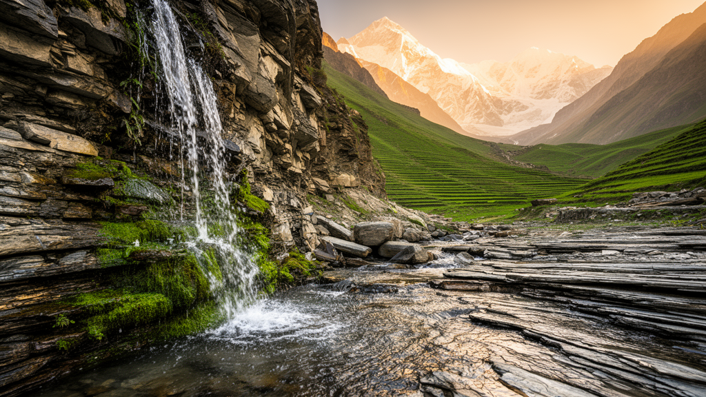
Across the Indian Himalaya, millions of people depend on mountain springs for their daily water, yet roughly forty percent of these springs have dried up or declined sharply over the past two decades. A new study in the Henval River Catchment of the Garhwal Himalaya offers a strikingly simple clue to why some springs persist while others vanish: the answer may be written in the steepness of the channels that dissect the landscape. By combining an intensive field survey of 82 springs with terrain indices derived from freely available elevation data, researchers have shown that the location and dry-season discharge of springs are strongly associated with measures of channel steepness that geologists normally use to detect active tectonic deformation.
The research, published in Frontiers in Forests and Global Change, was conducted in a forested catchment of 252.71 square kilometers that drains into the Ganga River system. Field teams spent 2024 traversing every tributary valley, mapping springs with GPS receivers accurate to within a few meters and classifying each as perennial only if flowing water was verified during two or more visits separated by at least three months. Of the 82 springs documented, 74 proved perennial, and their dry-season discharge in March and April was measured by timing how long a one-liter container took to fill, with three repeated readings averaged for each site. Discharge ranged from a trickle of 0.2 liters per minute to exceptional flows of 300 liters per minute, with a median of just 5 liters per minute, reflecting the enormous heterogeneity of groundwater emergence in fractured mountain bedrock.
The analytical core of the study rests on two geomorphic indices computed from a 30-meter radar elevation model. The first is the Stream Length-gradient index, known as the SL index, which multiplies the local channel slope by the total channel length from the drainage divide to the midpoint of each 500-meter reach. High SL values flag reaches of anomalous steepness that often coincide with active faults, lithological contacts, or zones of enhanced weathering and fracturing. The second is the Valley Floor Width-to-Height ratio, or Vf ratio, which distinguishes narrow, actively incising V-shaped valleys from wider transitional valley forms. The researchers also performed hypsometric analysis, plotting the cumulative relative area of the catchment against relative elevation, and classified land cover using Sentinel-2 satellite imagery at 10-meter resolution.
The results are remarkably lopsided. Of the 82 mapped springs, 87.8 percent were nearest to reaches with SL values above 500, even though those steep reaches account for only 55.4 percent of the analysed channel length, yielding a frequency ratio of 1.58. At the other extreme, reaches with SL values below 200 were almost devoid of springs: they cover 29 percent of the channel network but host just 2.4 percent of the mapped springs, a frequency ratio of 0.08. A chi-square test confirmed that the pattern is far from random. Of the 74 perennial springs, 66.2 percent lay within 200 meters of reaches with SL values of at least 200, compared with the 45 percent expected if springs were distributed randomly across the catchment, a highly significant deviation with p less than 0.001.
Elevation tells a complementary story. The zone between 1,400 and 1,800 meters contained 41.9 percent of the perennial springs and a remarkable 59.8 percent of the total dry-season discharge, with the highest median discharge of any elevation band at 12 liters per minute. Discharge differed significantly among the six elevation zones tested, and a Spearman rank correlation revealed a weak but significant positive monotonic association between discharge and elevation. The authors interpret this intermediate-elevation sweet spot as the product of two competing controls: recharge increases with elevation through orographic enhancement of monsoon rainfall, but thinner weathered zones and smaller contributing areas near the ridgelines limit aquifer development at the highest elevations. The 1,400 to 1,800 meter zone combines substantial upslope contributing area, high relief, and elevated SL reaches, making it the hydrogeological engine of the catchment.
Perhaps the most intriguing finding concerns valley form. The Vf ratio showed no association with where springs occur, with frequency ratios indistinguishable from unity for both V-shaped and transitional valley classes. Yet valley morphology exerted a significant control on how much water springs discharge. Springs near V-shaped valleys, which indicate rapid vertical incision, had a median dry-season discharge of 6.0 liters per minute, compared with 3.4 liters per minute for springs near transitional valleys, a difference confirmed by a Mann-Whitney test with a medium effect size. The authors propose that actively incising valleys maintain steeper hydraulic gradients between hillslope recharge areas and valley-side discharge points, increasing groundwater flux toward spring outlets. This functional dissociation, where channel steepness governs spring occurrence but valley incision governs discharge intensity, suggests that different geomorphic processes control different aspects of the spring system.
The hypsometric integral of 0.44 places the catchment in the mature stage of landscape evolution, indicating ongoing erosion and incision rather than an old, peneplained surface. Together with a relief ratio of 0.0765, which is substantially higher than values typical of stable cratonic regions, and the presence of elevated SL reaches that spatially coincide with visible fault scarps and documented landslide activity, the indices describe a landscape in which fluvial incision remains active. Such terrain maintains steep hydraulic gradients between ridges and valleys, favouring groundwater discharge at hillslope-valley transitions. The catchment lies within the Garhwal Synclinorium, where Precambrian quartzites, slates, and phyllites are highly weathered, jointed, and dissected by multiple fault and shear zones, providing the fractured bedrock through which monsoon recharge percolates before emerging at springs.
Land cover added another layer to the picture. Forests cover 59.1 percent of the catchment and contained 70.2 percent of the mapped springs, yielding a frequency ratio of 1.22 that indicates springs are over-represented in forest relative to its areal extent. Shrubland, by contrast, was under-represented with a frequency ratio of 0.47. Field observations recorded springs commonly associated with reserve forest environments dominated by chir pine, oak, rhododendron, and mixed dense stands. The authors note that forest ecosystems can enhance infiltration and subsurface water storage through canopy interception, litter accumulation, greater soil organic matter, and root-induced macroporosity, all of which reduce rapid surface runoff and favour recharge of shallow fractured-rock aquifers. Oak-dominated forests, with extensive root systems and well-developed litter layers, are considered particularly favourable for soil-water retention in the Himalaya.
The practical implications are considerable. Because the SL index can be computed from freely available digital elevation models without detailed geological maps, it offers a low-cost screening tool for prioritising spring surveys and springshed protection in data-scarce Lesser Himalayan catchments. The authors recommend restricting deep excavation, road cutting, and disruptive land-use change within and upslope of elevated-SL zones, and suggest that managed recharge through check dams and infiltration structures in tributary valleys upslope of the 1,400 to 1,800 meter zone may help sustain dry-season discharge. They also emphasise the conservation of native forest, particularly oak-rich stands, in spring recharge areas. With climate projections indicating reduced and more seasonal monsoon rainfall across the Western Himalaya, and population growth continuing to increase water demand, such terrain-guided interventions may become essential for the roughly 18 to 22 million people who rely on Himalayan springs for domestic water.
The authors are careful to frame their findings as statistical associations rather than demonstrated mechanisms. No independent structural, lithological, or geophysical data were available to attribute SL anomalies specifically to faulting, and the terrain variables are interrelated in ways that a univariate frequency ratio analysis cannot disentangle. Discharge was measured only once, in the dry season of a single year, so temporal variability remains unquantified. Future work, the researchers suggest, should combine the terrain indices with structural and lineament mapping, geophysical surveys such as electrical resistivity tomography, isotopic identification of recharge areas, and multi-year discharge monitoring. Even so, the study demonstrates that simple numbers extracted from elevation data, particularly the SL index, carry real information about where water will emerge from the mountains, and that this information can guide the protection of one of the Himalaya’s most vital and most threatened freshwater resources.
Subject of Research: Hydrology
Article Title: Morphotectonic and topographic correlates of spring occurrence and perennial spring discharge in a forested catchment of the Garhwal Himalaya
Article References: Meena, D. S., Rawat, S. S., Dass, B., & Malik, D. S. (2026). Morphotectonic and topographic correlates of spring occurrence and perennial spring discharge in a forested catchment of the Garhwal Himalaya. Frontiers in Forests and Global Change, 9, Article 1986604. https://doi.org/10.3389/ffgc.2026.1986604
Image Credits: AI Generated
DOI: 10.3389/ffgc.2026.1986604
Keywords: Himalayan springs, SL index, morphotectonics, springshed management, forest hydrology, Garhwal Himalaya, groundwater, Morphotectonic, topographic, correlates, spring, occurrence
Cite Scienmag News
Sloane Callahan. (October 17, 2026). Hidden Fractures in the Himalaya Reveal Where Mountain Springs Will Flow. Scienmag. https://scienmag.com/hidden-fractures-in-the-himalaya-reveal-where-mountain-springs-will-flow/
Sloane Callahan. "Hidden Fractures in the Himalaya Reveal Where Mountain Springs Will Flow." Scienmag, 17 October 2026, https://scienmag.com/hidden-fractures-in-the-himalaya-reveal-where-mountain-springs-will-flow/. Accessed 17 October 2026.
Sloane Callahan. "Hidden Fractures in the Himalaya Reveal Where Mountain Springs Will Flow." Scienmag. October 17, 2026. https://scienmag.com/hidden-fractures-in-the-himalaya-reveal-where-mountain-springs-will-flow/


