


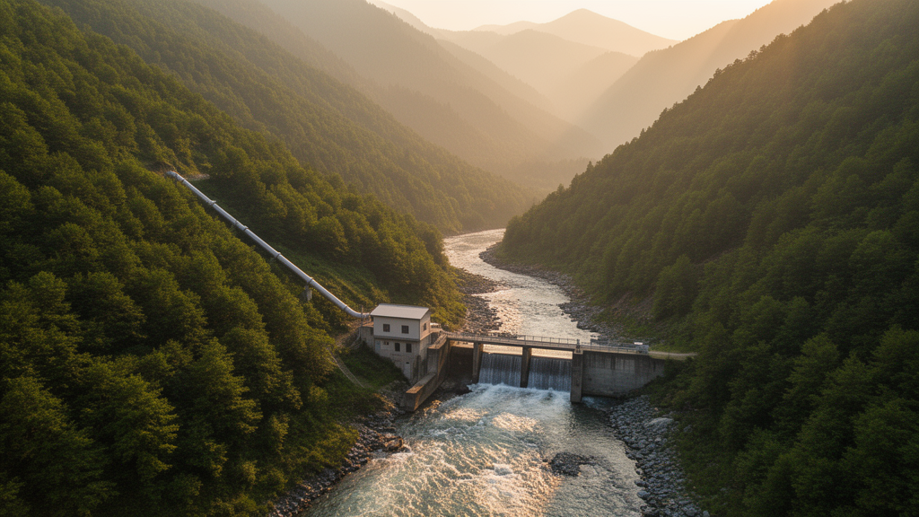
Small run-of-river hydropower is one of the most reliable low-carbon energy options available, but finding the right spot for an intake, a canal, a penstock and a powerhouse has always been a slow, expensive guessing game. A team of Greek researchers now says that game can be largely automated. In a study published in the journal Results in Engineering, Xenofon K. Soulis, Konstantinos X. Soulis and colleagues present a new GIS-based algorithm that screens entire river reaches in minutes and returns a ranked list of complete, spatially explicit preliminary layouts for small hydropower plants — not just a list of promising locations, but the full geometry of where each component should sit.
Most existing digital tools for hydropower planning stop at site selection. They can highlight a stretch of river with strong flow and a steep drop, and some can estimate the theoretical power available, but they rarely tell the engineer where the intake should be placed, which bank the headrace canal should follow, where the transition to a pressurized penstock should occur, or how the penstock should weave downhill around obstacles. The new algorithm, built as a Python plugin for the open-source QGIS platform, does all of this automatically. For every possible intake along a studied stream, it searches downstream outlet and powerhouse positions, traces candidate headrace routes along both riverbanks, evaluates alternative transition points, routes the penstock in three dimensions across the terrain, avoids restricted zones, and ranks every complete configuration it generates.
The heart of the method is a clever solution to a deceptively hard raster problem: tracing the contour line of a stream point when the digital elevation model contains no cell at exactly that elevation. Rather than attempting a pixel-by-pixel contour walk, the algorithm first divides the entire basin into groups of cells according to which stream cell lies just below them in elevation. This grouping is done in a single pass, which keeps computation fast even for large watersheds. The borders between these elevation groups then serve as approximate contour paths. Because a true contour must cross every line connecting a border cell to a lower neighboring cell, the traced route is guaranteed to stay within one cell width of the real contour — a precision entirely adequate for screening-level planning.
Once the left- and right-bank contours are traced for each intake, the algorithm measures the headrace length along them and pairs each intake with every eligible downstream outlet. Configurations are ranked using a novel metric called the Cost-to-Power Ranking Index, or CPRI, which divides the combined conveyance-cost index of the headrace and penstock by the hydraulic-power proxy formed from nominal discharge and screening head. The screening head accounts for the gradual loss of elevation along the open canal, and the power estimate assumes typical efficiencies of 96 percent for electrical equipment and 90 percent for the turbine. Because the same physical constants apply to every candidate, the index acts purely as a relative comparator, deliberately avoiding any impression that its values represent real monetary costs or final deliverable power.
Early screening uses quick Euclidean estimates of penstock length, but the top candidates then receive a much more rigorous treatment. The algorithm builds a graph whose nodes are raster cells and whose edges are permitted connections between neighbors, with restricted areas removed entirely. Dijkstra’s shortest-path algorithm then finds the minimum-weight penstock route for each shortlisted configuration, accounting for true three-dimensional distance and, where available, spatially varying construction costs. A built-in diagnostic checks whether the shortlist was large enough to certify the final ranking, warning users when more candidates should be retained for rerouting.
The researchers tested the tool on two very different Greek watersheds. The first was the small experimental catchment of the Lykorrema stream on Mount Pendeli in Attica, covering just 7.84 square kilometers of sharp relief between 280 and 950 meters elevation, analyzed at an unusually fine 5-meter resolution. The second was the much larger Inachos sub-watershed of the Sperchios River basin in central Greece, spanning 341.86 square kilometers from 85 to 2,286 meters, analyzed using the 25-meter Copernicus EU-DEM. Runtimes were strikingly practical: the full Pendeli search took 57 seconds on a desktop computer, while even the long branch of the Inachos reach completed in 19 minutes. A modest laptop performed nearly as well, completing the Pendeli analysis in 64 seconds.
Resolution testing revealed how grid size shapes the results. When the top 100 solutions from the 5-meter Pendeli analysis were compared with those from a 10-meter run, 51 matched within 10 meters across all three key points, and 79 fell within 10 meters of the top 500 coarser solutions. The best-ranked layouts agreed within 75 meters. The differences stem partly from the finer grid resolving nearby alternatives that coarser cells merge into one, and partly from terrain detail that only exists at high resolution — a quarter as many cells simply encode a quarter as much information about subtle ridges and gullies.
The tool also proved robust in engineering judgment. Fifty candidate configurations, 30 from Inachos and 20 from Pendeli and chosen for broad spatial spread, were assessed by two specialists with experience on more than 15 small hydropower projects in Greece. They evaluated the plausibility of the intake-canal-forebay-penstock-powerhouse layout, the gentle descending routing of the open headrace, the reduction of penstock length and cost, and the effective use of available head. The verdict: the layouts were technically plausible for preliminary screening and consistent with expected practice. The authors are careful to stress that this validates screening-level reasoning, not detailed hydraulic design.
Several design decisions in the algorithm reveal the messy realities of working with raster terrain. When small hills between the stream and a contour produce isolated rings of candidate cells that a path cannot unambiguously distinguish, the algorithm hugs the downstream direction of the stream, keeping the eventual penstock shorter and cheaper. A subtler puzzle involved rounding: because pixelated elevations rarely match an intake exactly, the intuitive choice is to round downward, giving the water a natural slope. But on steep hillslopes this can make contour cells coincide with downstream stream cells, causing the tracer to cross the river. The team therefore rounds upward instead — choosing the lowest cell higher than the intake — an equally close approximation that structurally prevents the traced contour from ever touching or crossing the stream.
The practical implications reach well beyond Greece. Engineering consultants, developers and public authorities can feed in a digital elevation model, discharge estimates from a flow-duration curve after deducting environmental flow, relative construction costs and exclusion maps for protected areas, and receive a ranked spreadsheet of grouped alternatives complete with coordinates, canal and penstock lengths, cost indices and CPRI scores. Cost rasters can encode rock quality, landslide risk or legal constraints, and a restricted-area raster forbids any crossing of protected cells. The authors position the tool as a bridge between broad regional hydropower mapping and the costly site-specific feasibility studies that follow, and they caution that penstock friction losses, geotechnical conditions, environmental permitting and full economics remain outside its scope. The source code is openly available on GitHub for QGIS 3.34 or later, inviting researchers worldwide to test it in new catchments, refine its screening heuristics and accelerate the hunt for the small, clean hydropower schemes the energy transition will increasingly depend on.
Subject of Research: GIS-based automated preliminary planning of small run-of-river hydropower plants
Article Title: Development of a new simplified algorithm facilitating GIS-based preliminary planning of small hydropower plants
Article References: Soulis, X. K., Soulis, K. X., Tsekouras, G. J., Palli-Gravani, S. N., & Sarantopoulou, V.-E. K. (2026). Development of a new simplified algorithm facilitating GIS-based preliminary planning of small hydropower plants. Results in Engineering, 32, Article 113478. https://doi.org/10.1016/j.rineng.2026.113478
Image Credits: AI Generated
DOI: 10.1016/j.rineng.2026.113478
Keywords: small hydropower, GIS, run-of-river, QGIS, contour tracing, penstock routing, Dijkstra algorithm, digital elevation model, renewable energy, CPRI ranking, hydropower siting, Greece
Cite Scienmag News
Denise Maddox. (October 16, 2026). New Algorithm Rapidly Maps Where Small Hydropower Plants Should Go. Scienmag. https://scienmag.com/new-algorithm-rapidly-maps-where-small-hydropower-plants-should-go/
Denise Maddox. "New Algorithm Rapidly Maps Where Small Hydropower Plants Should Go." Scienmag, 16 October 2026, https://scienmag.com/new-algorithm-rapidly-maps-where-small-hydropower-plants-should-go/. Accessed 16 October 2026.
Denise Maddox. "New Algorithm Rapidly Maps Where Small Hydropower Plants Should Go." Scienmag. October 16, 2026. https://scienmag.com/new-algorithm-rapidly-maps-where-small-hydropower-plants-should-go/


