


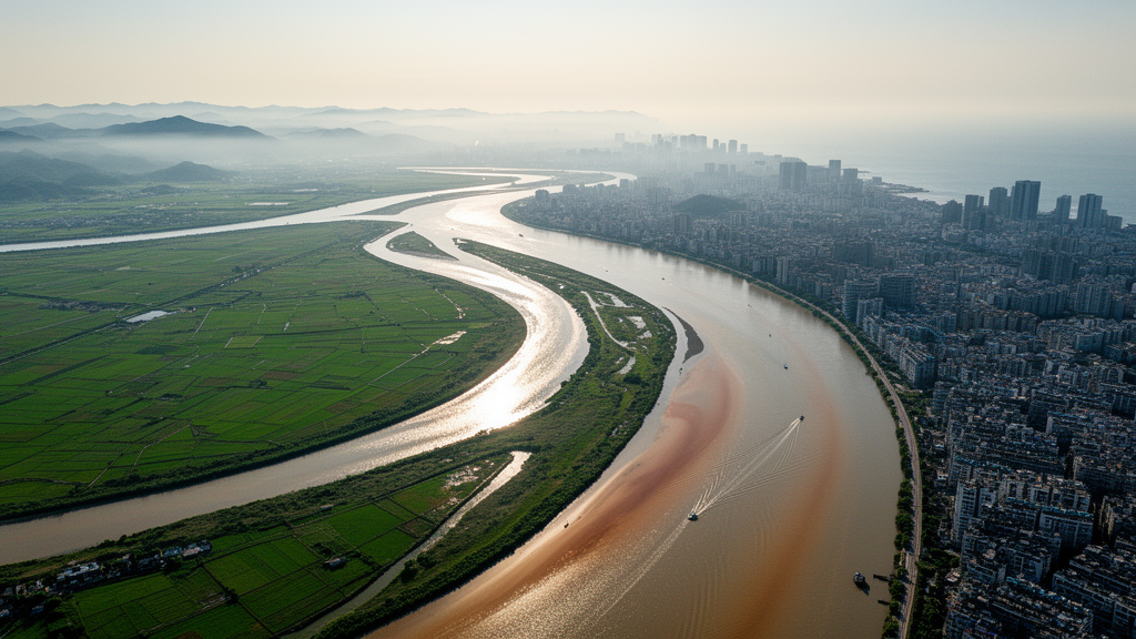
Every winter, as river flows dwindle across southern China’s Pearl River Delta, a silent threat creeps upstream from the sea: salty ocean water pushes into the channels that supply drinking water to millions of people in Zhuhai, Macao, and Zhongshan. For decades, water managers have relied on a seemingly simple rule of thumb to predict how far this salt intrusion will reach — the more freshwater flowing down the river, the shorter the intrusion. But a new study published in Frontiers in Marine Science reveals that this classical relationship hides a crucial complication in river networks: it is not just how much water flows downstream, but which river it comes from that determines how far the salt penetrates.
The research, led by Xinhui Xie and Yanwen Xu of Hohai University together with colleagues, focuses on the Modaomen Estuary, one of the major outlets through which the West River delivers freshwater to the South China Sea. The team combined decades of hydrological observations with sophisticated three-dimensional numerical simulations to disentangle two factors that traditional models have long conflated: the total volume of upstream discharge and the way that discharge is partitioned between the West River and the North River before it ever reaches the estuary.
The classical framework at the heart of the study is the power-law relationship between salt intrusion length and river discharge, often abbreviated as the L-Q relationship. This relationship has been validated in estuaries around the world, from northern San Francisco Bay to the Terengganu River in Malaysia and the Sumjin River in Korea. It rests on a physical foundation: under quasi-steady conditions, the balance between seaward freshwater advection and landward salt dispersion determines how far the salinity front penetrates, and the resulting intrusion length scales as a power of the discharge. The exponent in this power law reflects the estuary’s hydrodynamic regime — weak in tide-dominated systems, strong where rivers dominate.
But the classical formulations were developed for single-channel estuaries, where a single upstream inflow reasonably represents the freshwater forcing. The Pearl River Delta is anything but single-channel. It is a labyrinth of bifurcations, confluences, and interconnected waterways, and at its apex sits the Sixianjiao node — an H-shaped junction where the West and North River systems exchange water through a narrow channel roughly 1.5 kilometers long and only 100 to 200 meters wide, formed approximately 200 years ago during the delta’s evolution. This node acts as a hydraulic gatekeeper, redistributing flow between the two river systems depending on their relative water levels and discharges.
To quantify how this redistribution affects salt intrusion, the researchers defined a discharge ratio — the West River discharge measured at Gaoyao station divided by the North River discharge measured at Shijiao station. Analysis of dry-season records from 1984 to 2012 showed that this ratio varied enormously, with a mean of about 6 and a standard deviation of 3.4, and exhibited a long-term decline suggesting a weakening relative contribution from the West River. Critically, the same combined discharge can arise from very different combinations of the two rivers, meaning that total discharge alone carries incomplete information about the freshwater actually delivered to the Modaomen Waterway.
The team designed a factorial suite of sixteen numerical experiments using the SCHISM model, an unstructured-grid, baroclinic hydrodynamic model capable of resolving the complex geometry of the Pearl River Estuary down to resolutions of 50 to 300 meters within the river network. Four total discharge levels spanning 1500 to 4500 cubic meters per second were crossed with four discharge ratios, all validated against the joint distribution of historical observations to ensure hydrological plausibility. Each simulation used a fixed bathymetry and a 400-hour tidal sequence covering both spring and neap tides, allowing the researchers to isolate the effects of total discharge and flow partitioning under identical morphological conditions.
The results were striking. Salt intrusion length decreased with increasing total discharge, as expected, but the relationship shifted systematically depending on the discharge ratio. Under low West River contributions, the intrusion-length curve sat above the baseline relationship — meaning salt pushed farther upstream for the same total discharge. Under high West River contributions, the opposite occurred. When the researchers fitted separate power-law relationships for three flow-partitioning regimes, the discharge-response exponent varied between 0.84 and 0.86, a subtle but consequential shift indicating that network-scale inflow structure modulates the sensitivity of salt intrusion to freshwater forcing rather than changing its fundamental form.
The practical payoff came in predictive skill. Validated against observed salt intrusion lengths from 2007 to 2014, reconstructed from salinity records at monitoring stations along the Modaomen Waterway, the flow-partitioning-dependent relationship reduced the root mean square error of predictions by 29.0 percent, from 3.1 kilometers to 2.2 kilometers. The improvement was most dramatic under low discharge-ratio conditions, where the error dropped from 4.5 to 2.6 kilometers. By comparison, classical semi-empirical formulations — including those of Rigter, Fischer, Van Os, and Savenije — produced substantially larger errors, with the best-performing Savenije model still yielding errors of 2.5 kilometers or more under high discharge-ratio conditions.
The findings resonate with earlier work in other multichannel systems. Studies in the Mekong Delta demonstrated that salt intrusion depends not only on total discharge and tides but also on how freshwater is distributed among branches, while research in the Rhine-Meuse Delta showed that channel geometry, discharge distribution, and tidal conditions produce distinct salt transport behaviors in connected branches. Together, these studies point to a common conclusion: in river-network estuaries, the hydrodynamic conditions experienced by any individual channel are governed by network connectivity and flow redistribution, not just by the gross upstream water supply.
For water managers in the Pearl River Delta, the implications are significant. Salt intrusion events cluster in February and March, precisely when low discharge-ratio conditions become most frequent — a temporal overlap that suggests flow partitioning may be especially important during the late dry season, when freshwater is scarce and the estuary is most vulnerable. The Sixianjiao node, the researchers suggest, could serve as a potential regulation point: by optimizing how available freshwater is distributed within the network, rather than simply increasing total releases, managers might improve the efficiency of limited water resources and bolster the resilience of drinking-water supplies against encroaching salt. The study’s authors caution that their relationship was developed under a fixed morphology and specific hydrological ranges, and that morphological evolution — channel deepening, mouth-bar dynamics, and changing bathymetry — remains an important control that future work must integrate. But the core message stands: in the world’s great river deltas, where networks of channels weave freshwater toward the sea, the path the water takes matters as much as how much of it there is.
Subject of Research: How upstream flow partitioning between the West and North Rivers modulates salt intrusion response to river discharge in the Modaomen Estuary of the Pearl River Delta
Article Title: Flow partitioning modulates salt intrusion response to river discharge in a river-network estuary
Article References: Xie, X., Xu, Y., Liang, J., Yang, J., & Zhang, W. (2026). Flow partitioning modulates salt intrusion response to river discharge in a river-network estuary. Frontiers in Marine Science, 13, Article 1956774. https://doi.org/10.3389/fmars.2026.1956774
Image Credits: AI Generated
DOI: 10.3389/fmars.2026.1956774
Keywords: salt intrusion, estuary, river network, Pearl River Delta, Modaomen, flow partitioning, river discharge, freshwater management, hydrodynamics, SCHISM model, dry season, water supply
Cite Scienmag News
Violet Maxwell. (October 16, 2026). Which River Carries the Water Matters: Flow Splitting Reshapes Salt Intrusion in Pearl River Delta. Scienmag. https://scienmag.com/which-river-carries-the-water-matters-flow-splitting-reshapes-salt-intrusion-in-pearl-river-delta/
Violet Maxwell. "Which River Carries the Water Matters: Flow Splitting Reshapes Salt Intrusion in Pearl River Delta." Scienmag, 16 October 2026, https://scienmag.com/which-river-carries-the-water-matters-flow-splitting-reshapes-salt-intrusion-in-pearl-river-delta/. Accessed 16 October 2026.
Violet Maxwell. "Which River Carries the Water Matters: Flow Splitting Reshapes Salt Intrusion in Pearl River Delta." Scienmag. October 16, 2026. https://scienmag.com/which-river-carries-the-water-matters-flow-splitting-reshapes-salt-intrusion-in-pearl-river-delta/


