


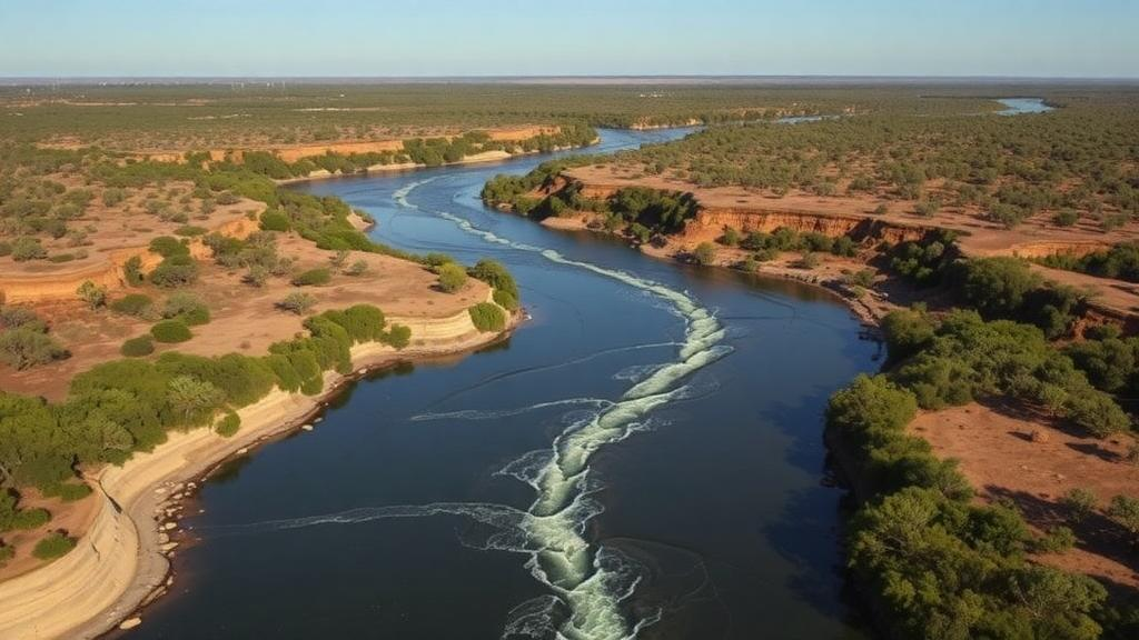
Australia’s rivers are far more than ribbons of water crossing a dry continent. According to a new study published in Communications Earth & Environment, they behave like a continental-scale breathing system, swelling during tropical wet seasons and winter rains, then contracting into thousands of kilometres of exposed, damp riverbed, and the timing of that breathing appears to dictate precisely when and where the country’s waterways release carbon dioxide and methane into the atmosphere. The research, led by Adam T. Rexroade of Charles Darwin University with colleagues from institutions in Australia, Sweden and beyond, is among the first to track riverine greenhouse gas emissions across an entire national drainage network at a monthly resolution, capturing the seasonal pulses that coarser annual estimates have long smoothed away.
The headline numbers are striking. Flowing Australian rivers emit a total of 48.5 teragrams of carbon dioxide per year, alongside 0.28 teragrams of methane. But the study adds a component that most national inventories ignore entirely: dry riverbeds, the cracked, sediment-rich channels left behind when flows recede, contribute a further 13.9 teragrams of carbon dioxide annually. That means the ground where rivers recently flowed is not inert; it is an active emission zone, releasing more than a quarter as much carbon dioxide as the flowing network itself. Taken together, the figures confirm that streams and rivers punch well above their weight in the global carbon budget, occupying a tiny fraction of Earth’s land surface yet processing and outgassing enormous quantities of carbon delivered from soils, vegetation and groundwater.
What sets this study apart is its marriage of two kinds of data that rarely meet in the same analysis. On one side sit direct measurements of carbon dioxide and methane concentrations and emissions gathered from riverine sites and from dry riverbeds across the country. On the other sits a geospatial description of the entire Australian drainage network, allowing the team to scale their point measurements up to the continental level month by month. This monthly time-step is the crucial technical advance. Traditional national and global emission estimates often assume a static river surface area throughout the year, an assumption that works poorly in Australia, where monsoonal rivers in the north can expand across vast floodplains during the wet season and then shrink to isolated waterholes, while many temperate southern streams flow reliably through winter and dwindle through summer.
The mechanics behind these emissions are rooted in microbial ecology and gas physics. In flowing water, microbes decompose organic matter dissolved and suspended in the stream, producing carbon dioxide; in oxygen-poor sediments, archaea produce methane through methanogenesis. Both gases then escape to the atmosphere across the water surface, with the flux governed by concentration gradients and by the gas transfer velocity, a term capturing how turbulance, wind and flow speed accelerate exchange. When a river spreads across a floodplain, its wetted surface area multiplies, creating a vastly larger interface for gas exchange even if concentrations per unit area remain modest. When the water retreats, the exposed bed does not simply stop emitting. Damp sediments remain rich in organic carbon and microbial communities, and as they dry they respire that carbon directly to the air, a process terrestrial ecologists have documented in drying lakes and reservoirs but which is only now being quantified across an entire river network.
The study’s central finding is that the spatiotemporal pattern of emissions closely follows the seasonal waxing and waning of river surface area, but with a twist: different climate zones pulse at different times of year. Tropical rivers in Australia’s north erupt during the wet season, roughly the southern summer and autumn, when monsoon rains swell channels and floodplains and the aquatic network reaches its maximum extent. Temperate rivers in the south, by contrast, peak in winter, when rainfall is highest and streams carry their greatest volumes. The continental total therefore does not follow a single seasonal curve but a shifting mosaic, with the emission centre of gravity migrating across the continent through the year. Any global model that treats rivers as static pipes would miss these alternating pulses and, in doing so, misjudge both the magnitude and the timing of riverine greenhouse gas release.
The contribution of dry riverbeds deserves particular attention, because Australia is home to some of the most intermittently flowing river systems on Earth. In arid and semi-arid regions, channels may hold water only weeks or months per year, meaning the dry state is the norm rather than the exception. The finding that these beds emit 13.9 teragrams of carbon dioxide annually suggests that the standard practice of counting only the flowing network systematically understates the true footprint of river systems in drylands, which are widespread not just in Australia but across the Sahara’s fringes, the American Southwest, central Asia and the Mediterranean. As climate change intensifies droughts and water extraction extends the duration of no-flow periods worldwide, the share of global river emissions coming from dry beds could grow, making this once-overlooked flux a rising term in the atmospheric ledger.
Methane, though emitted in far smaller masses than carbon dioxide, is not a footnote. Per molecule, methane traps heat far more effectively than carbon dioxide over a century-scale horizon, so even 0.28 teragrams carries meaningful warming power. Methane production favours the stagnant, organic-rich, oxygen-depleted conditions found in shallow floodplain waters and sediments, environments that expand dramatically when tropical rivers inundate their plains. Understanding how the wet-dry cycle modulates the balance between carbon dioxide, produced under both wet and damp-dry conditions, and methane, concentrated in anaerobic aquatic zones, is essential for predicting how river emissions will shift as hydrological regimes change.
The implications extend beyond carbon accounting. Australia’s river network has been managed, cared for and governed by First Nation Peoples for millennia, a stewardship the authors explicitly acknowledge, and the waterways underpin ecosystems, fisheries and cultural life. Knowing when and where emissions peak helps connect the carbon cycle to water management: seasons of maximum flow are also seasons of maximum atmospheric exchange, so decisions about damming, diversion and environmental flows ripple through the continent’s greenhouse gas budget in ways that static assessments cannot capture. The study was supported by the Australian Research Council and the Swedish Research Council, reflecting the international character of modern catchment science, and its open-access publication makes the underlying analysis available to modellers worldwide.
For the global research community, the message is methodological as much as geographic. Large-scale emission estimates that ignore seasonal hydrological variability in both discharge and river surface area are, at least for dryland continents, incomplete by construction. The Australian results provide a template: combine direct gas measurements from both wet and dry channel states with high-resolution geospatial mapping of where and when water actually sits in the landscape. Applying that template to other intermittent river networks, from the ephemeral wadis of the Middle East to the seasonal rivers of the African Sahel, could materially revise global estimates of inland water emissions, which remain among the larger uncertainties in natural greenhouse gas inventories.
Ultimately, the study reframes rivers not as static features but as expanding and contracting organs of the carbon cycle. Across Australia, the atmosphere receives a steady pulse of carbon dioxide from flowing water, a sharper pulse when monsoon and winter rains stretch the network to its fullest extent, and a quieter but persistent exhale from the damp sediments left in between. As the continent’s climate swings between deluge and drought intensify, the rhythm of that breathing will change, and thanks to this work, scientists now have a monthly-resolved baseline against which those changes, and their feedback on the climate system, can finally be measured.
Subject of Research: Seasonal wetting and drying controls on riverine greenhouse gas emissions across the Australian drainage network
Article Title: Seasonal wetting and drying dynamics drive greenhouse gas emissions across Australia’s river network
Article References: Seasonal wetting and drying dynamics drive greenhouse gas emissions across Australia’s river network. (n.d.). https://doi.org/10.1038/s43247-026-04135-1
Image Credits: AI Generated
DOI: 10.1038/s43247-026-04135-1
Keywords: greenhouse gases, carbon dioxide, methane, rivers, Australia, wetting and drying, dry riverbeds, hydrology, carbon cycle, seasonal variability, river network, emissions
Cite Scienmag News
Violet Maxwell. (October 14, 2026). Australia’s Breathing Rivers: Wet-Dry Cycles Control a Vast Hidden Carbon Emission. Scienmag. https://scienmag.com/australias-breathing-rivers-wet-dry-cycles-control-a-vast-hidden-carbon-emission/
Violet Maxwell. "Australia’s Breathing Rivers: Wet-Dry Cycles Control a Vast Hidden Carbon Emission." Scienmag, 14 October 2026, https://scienmag.com/australias-breathing-rivers-wet-dry-cycles-control-a-vast-hidden-carbon-emission/. Accessed 14 October 2026.
Violet Maxwell. "Australia’s Breathing Rivers: Wet-Dry Cycles Control a Vast Hidden Carbon Emission." Scienmag. October 14, 2026. https://scienmag.com/australias-breathing-rivers-wet-dry-cycles-control-a-vast-hidden-carbon-emission/


