


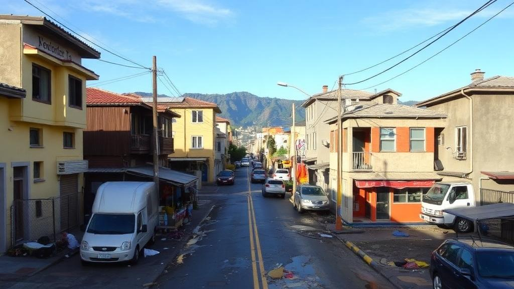
In the southern Chilean city of Valdivia, the floods that arrive with each season of heavy rain do not fall evenly across the urban landscape. They concentrate in the neighborhoods where lower-income families live, often on land that sits at lower elevations, close to the rivers and wetlands that define the city’s geography. A new interdisciplinary study published in the Proceedings of the National Academy of Sciences argues that this pattern is no accident of geography alone. It is the product of centuries of history, from the colonial dispossession of Indigenous Mapuche communities to the aftermath of the largest earthquake ever instrumentally recorded, and it continues to be reinforced today by an urbanization model that has filled in and built over the very ecosystems that could protect the city’s most vulnerable residents.
The research applies a framework known as the Ecology of Segregation to a city in the Global South, a perspective its authors say has been largely missing from the scientific literature. Segregation, the study emphasizes, is a multidimensional phenomenon deeply intertwined with historical, social, and ecological contexts, yet most theoretical and empirical work on the topic has been conducted in the United States. By examining Valdivia through an ecological lens, the team sought to show how socioecological dynamics, including socioeconomic inequality, structural racism, and colonial legacies, shape the urban environment and are in turn shaped by it. The findings indicate that current patterns of segregation result from complex, multidimensional processes that differ in important ways from those more commonly described in North American cities.
The study was co-led by Elizabeth M. Cook of the Cary Institute for Ecosystem Studies and Olga Barbosa, Associate Director of the Institute of Ecology and Biodiversity and professor at Universidad Andrés Bello, together with Jason Sauer of the Oregon Department of Energy and Karin Weil of Chile’s National Cultural Heritage Service. The broader team brought together specialists in ecology, hydrology, and anthropology from Chile and abroad, working in collaboration with a wide network of public-sector and civil society stakeholders, including the municipality, SENAPRED, Chile’s Ministry of Public Works, and community organizations. Barbosa explained that the work grew out of a collaboration examining how climate change and global change more broadly are shaping cities and affecting both biodiversity and people, and it draws on her earlier research mapping Valdivia and modeling the city before and after the 1960 earthquake.
That earlier mapping work produced a striking finding: many areas providing substantial ecosystem services to the population were never formally designated as green spaces, despite functioning as such in practice. These included fragments of wetlands and other landscapes scattered through the city. In the new study, the researchers wanted to discuss what happens with segregation in cities from an ecological perspective and in the context of Latin America, bringing forward questions of environmental and socioeconomic justice. As Barbosa put it, the segregation visible today also creates inequitable access to nature and its ecosystem services, and it is multifactorial, involving historical, geological, and political processes.
Valdivia itself offers an unusually rich setting for such an analysis. With a population of approximately 166,000, the capital of Chile’s Los Ríos Region lies within the Valdivian temperate rainforest biodiversity hotspot, an area characterized by high species richness and endemism. The city depends heavily on surrounding native forests for its drinking water supply and sits at the confluence of rivers and extensive wetlands, which create natural barriers to urban development, alongside forestry and agricultural areas and well-preserved native forest. The study identifies three key historical moments that structured the city’s socioecological fabric: European colonization between 1552 and 1820, the devastating 1960 earthquake, and the current struggle to protect urban wetlands from real estate expansion.
The first of these moments began with Valdivia’s refounding by Spanish conquerors and the territorial dispossession of Mapuche communities, who maintained close relationships with the land, wetlands, and rivers but were displaced from fertile territory. To reconstruct this period, the researchers used maps of Valdivia produced by the Dutch, who briefly occupied the city in the seventeenth century before the Spanish consolidated control in 1643. Contemporary chroniclers, writing in the Nueva Historia de Valdivia, described the environmental benefits of the landscape, including its shallow lagoons and wetlands, the navigability of the river, and its proximity to the sea, calling Valdivia an ecological nest in the Coastal Range and a major commercial hub where products from the Andes and the coastal area of Corral converged. Today, some of the areas from which Mapuche communities were displaced are occupied by high-income neighborhoods with privileged access to green spaces and ecosystem services, including flood mitigation.
The second turning point came on May 22, 1960, when a magnitude 9.5 earthquake, the largest ever instrumentally recorded, struck along a 1,000-kilometer stretch of the Chilean coast, severely affecting the Valdivia area. The shaking lasted ten minutes and was followed an hour later by a tsunami with waves reaching up to 20 meters in height, along with weeks of aftershocks. Beyond the devastating loss of life and damage to infrastructure, the event triggered extensive land subsidence and massive flooding that drastically transformed the landscape, leading to the rapid formation of a new and persistent network of wetlands as the surrounding rivers deepened and shallow banks formed. The reconstruction that followed was oriented toward resilience, but the study shows it ultimately consolidated and institutionalized patterns of segregation, a process further entrenched through the neoliberal policies of the 1980s and the uncontrolled urban development that accompanied them.
The third moment is unfolding now. In recent decades, local communities, scientists, and social organizations have mobilized to protect Valdivia’s urban wetlands from real estate expansion and government neglect, a collective effort that helped drive the creation of Chile’s Law No. 21,202 on the Protection of Urban Wetlands. Although the law initially had gaps, these were addressed in 2021 under social and scientific pressure, requiring environmental assessments for projects that could affect these ecosystems. The urgency is tangible: this winter’s record rains and flooding in Valdivia, Barbosa noted, are not an isolated event but an expression of the same logic described in the study. Sustained pressure from an urbanization model that has occupied wetlands for decades has left lower-lying neighborhoods, often those where lower-income residents live following the reconstruction of the 1960s, exposed to the worst impacts of extreme events, which make existing inequality visible and worsen it.
The study also documents a paradox in how green space is distributed across the city. Higher-income neighborhoods in Valdivia have formal green spaces, but these account for a very small percentage of the city’s total green area. Meanwhile, spontaneous, informal green spaces such as wetland fragments harbor greater biodiversity and provide more ecosystem services, and these are precisely the areas located in lower-income neighborhoods. This pattern reflects a broader trend documented throughout Latin America, where proximity to and access to green spaces tend to reflect higher socioeconomic status. In Valdivia, the informal green spaces that could serve as a foundation for environmental equity remain formally unrecognized, leaving both their biodiversity and their protective functions vulnerable to development pressure.
For the researchers, the implications extend well beyond one city. Many cities in the Global South share similar histories of colonial dispossession, rapid and unequal reconstruction, and wetland loss, and understanding the ecology of segregation in different urban contexts can help imagine and build cities that are fairer, more resilient, and more respectful of their natural and cultural heritage. The authors suggest their findings can inform more inclusive urban planning and policies that incorporate community-based approaches and recognize Indigenous perspectives, helping to mitigate deeply rooted inequalities and promote sustainable development. As Barbosa emphasized, with good urban planning it would be possible to absorb, counteract, and mitigate socioeconomic injustice by protecting and formally recognizing informal green spaces, thereby providing ecosystem services to people with fewer resources. Protecting urban wetlands, she argued, is not only a matter of biodiversity but of environmental justice: wetlands buffer floodwaters and absorb excess water, and when they are filled in or left out of urban planning, protection is removed from precisely those neighborhoods that already have the fewest resources to cope with an emergency. The experience of Valdivia shows how natural disasters, political decisions, and historical legacies of inequality are intertwined with the natural environment, and it reveals the potential of collective action, inclusive planning, and interdisciplinary knowledge to advance toward greater environmental equity.
Subject of Research: The ecology of segregation and environmental justice in Valdivia, Chile
Article Title: Valdivia: A key case for understanding urban segregation in the Global South
Article References: Valdivia: A key case for understanding urban segregation in the Global South. (n.d.). Original publication
Image Credits: AI Generated
DOI: Not provided
Keywords: urban segregation, Valdivia, Chile, environmental justice, urban wetlands, ecosystem services, Mapuche, 1960 earthquake, flood risk, urban planning, Global South, PNAS
Cite Scienmag News
Violet Maxwell. (October 11, 2026). How Colonization, Catastrophe, and Wetlands Shaped Segregation in a Chilean City. Scienmag. https://scienmag.com/how-colonization-catastrophe-and-wetlands-shaped-segregation-in-a-chilean-city/
Violet Maxwell. "How Colonization, Catastrophe, and Wetlands Shaped Segregation in a Chilean City." Scienmag, 11 October 2026, https://scienmag.com/how-colonization-catastrophe-and-wetlands-shaped-segregation-in-a-chilean-city/. Accessed 11 October 2026.
Violet Maxwell. "How Colonization, Catastrophe, and Wetlands Shaped Segregation in a Chilean City." Scienmag. October 11, 2026. https://scienmag.com/how-colonization-catastrophe-and-wetlands-shaped-segregation-in-a-chilean-city/


