


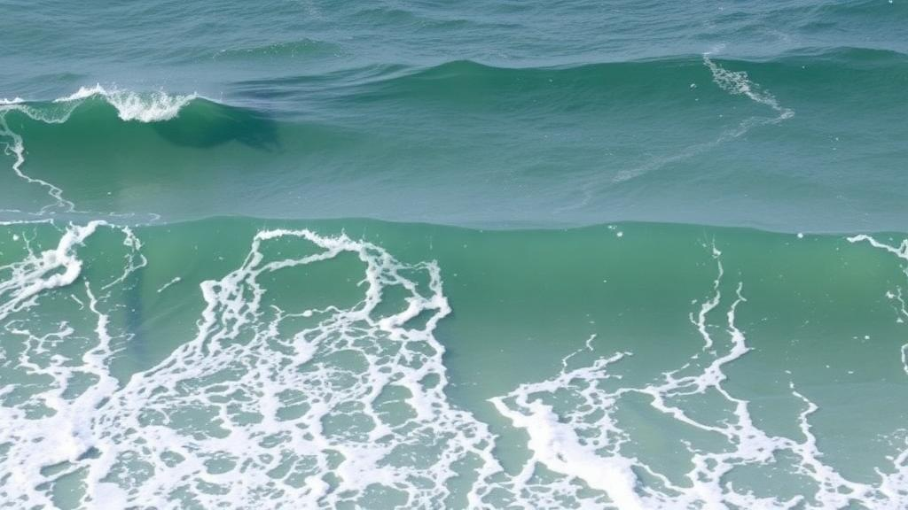
Every summer, millions of swimmers flock to the Atlantic beaches of Morocco, drawn by wide stretches of golden sand and powerful, photogenic surf. Yet beneath the breaking waves lies a hazard that most beachgoers cannot recognize, let alone name. A new study published in the journal Natural Hazards has mapped more than thirty rip current cells along just fourteen kilometers of the Bouknadel–Mehdia coastline, a popular recreational area north of Rabat, and found that these narrow, fast-moving channels of seaward-flowing water are the leading cause of drowning incidents recorded in the region. The research, led by Loubna Terhzaz of Mohammed V University in Rabat together with colleagues at the same institution and at the Instituto Andaluz de Ciencias de la Tierra in Granada, Spain, combines a decade of satellite imagery, extensive field observations, and questionnaire surveys of both beach visitors and professional lifeguards to build one of the most detailed pictures yet of rip current hazard on the Moroccan Atlantic coast.
Rip currents are among the most misunderstood phenomena in coastal science, even though their fundamental mechanics have been well established for decades. When waves break over a sandbar or near structures, water piles up in the surf zone and must find its way back to sea. Rather than flowing uniformly along the entire beach, the return flow often concentrates into narrow, jet-like channels—rip currents—that can move faster than an Olympic swimmer can sustain. These channels are typically fed by feeder currents running parallel to the shore and terminate in a rip head just beyond the breaking zone, where the flow decelerates and disperses. The classic misconception, immortalized as the “undertow myth” as far back as 1925, holds that rips drag swimmers under the water. In reality, they pull swimmers away from the shore, and the instinctive response—swimming directly back against the current—is precisely what exhausts and drowns most victims. Scientific escape strategies instead recommend staying calm, floating, and swimming parallel to the beach until free of the narrow channel, or signaling for help while allowing the current to carry one beyond the breakers.
The Moroccan context gives this hazard a particularly urgent dimension. According to national figures cited in the study, approximately ten thousand people drown in Morocco every year from various causes, and lifeguard reports and government data indicate that most drowning cases along the Bouknadel–Mehdia stretch are associated with rip current cells. This coastline is a microcosm of the pressures facing Atlantic Morocco: it hosts touristic beaches adjacent to growing urban centers, receives intense seasonal visitor traffic, and sits on a wave-exposed shore where Atlantic swell arrives with considerable energy. Earlier work by some of the same research groups had already documented the wave climate and morphosedimentary behavior of the neighboring Kenitra–Bouknadel sandy coast, establishing that this is a dynamic, high-energy environment where the underwater topography of bars and channels is in near-constant rearrangement.
To characterize the rip systems, the team adopted a multi-method approach that reflects the state of the art in rip current research. Satellite images acquired over the past ten years allowed the researchers to identify the surface signatures of rip channels—turbid plumes of suspended sediment extending seaward through gaps in the wave-breaking pattern. Field observations then ground-truthed these remote detections, documenting the position, spacing, and behavior of individual rips under different tidal and wave conditions. Finally, questionnaire surveys administered to beach visitors and lifeguards quantified the human dimension of the hazard: how well users understand what a rip current is, whether they can spot one, and what they believe they should do if caught in one. This combination of physical characterization and social science is essential, because a rip that nobody can identify is, in practical terms, far more dangerous than its flow speed alone would suggest.
The physical results are striking. Along the fourteen-kilometer study area, the team identified more than thirty distinct rip current cells, with their occurrence and intensity primarily controlled by low-tide conditions and by the characteristics of the incoming waves. This tidal dependence fits established theory: as the tide falls, waves increasingly break on shallow bars, driving stronger setup gradients and concentrating return flow into channels cut through the bar system. On embayed and barred beaches worldwide, researchers have shown that wave-breaking patterns directly control rip flow regimes and whether swimmers are flushed offshore or retained within the surf zone, and the Moroccan observations are consistent with that framework. The density of rips—more than two per kilometer of coastline on average—means that on any given summer day, hazardous channels are likely to be present within easy swimming distance of crowded stretches of sand.
Two findings stand out for their implications for beach safety. The first concerns Nations Beach, where channelized rip currents observed between April and August 2021 remained relatively stationary over several days at a time. Persistence is what turns a rip from a transient curiosity into a chronic hazard: a fixed channel position means that the same section of beach remains dangerous day after day, and swimmers who return to a favorite spot may repeatedly enter the same deadly flow without ever realizing it. Stationary rips also offer an opportunity, however, because lifeguards and local authorities can learn their locations and target warnings, flag placement, and supervision accordingly. The second finding concerns the urban beach of Mehdia, where the team documented a boundary rip—a current flowing along the edge of the surf zone, often near structures or the margin of a bay—that poses a serious threat precisely because it is visually “invisible.” Unlike channelized rips, which often announce themselves with foamy, sediment-laden streaks of darker, calmer water between breaking waves, boundary rips lack an obvious surface signature, leaving swimmers with no visual cue that they are drifting into danger.
The survey component of the study revealed what the authors describe as a significant lack of rip current awareness among beach users. This is not a uniquely Moroccan problem. International research has repeatedly shown that even on well-patrolled beaches in countries with mature lifeguarding cultures, large proportions of beachgoers cannot correctly identify a rip current from photographs or in situ, and that self-reported knowledge frequently fails to translate into safe behavior. Studies of escape strategies based on swimmer-equipped GPS instruments have demonstrated that the widely advised tactic of swimming parallel to the shore works for many but not all rip configurations, reinforcing the importance of matching public advice to local rip morphology. Programs such as “Break the Grip of the Rip!” in the United States have shown that hazard education can shift public perceptions, but only when the message is sustained, localized, and delivered in forms that beachgoers actually absorb.
The Moroccan study arrives amid a broader global reckoning with coastal risk. Human populations in coastal zones are growing faster than the global average, concentrating more people on shorelines exposed to waves, erosion, and flooding, while climate-driven changes in storminess and sea level continue to reshape surf zone dynamics. In this context, drowning at recreational beaches is increasingly understood not as a random tragedy but as a manageable natural hazard—one that can be quantified, mapped, forecast, and communicated. The Bouknadel–Mehdia work contributes to that shift by treating rip currents as a systematic, recurring feature of the coastal environment rather than an unpredictable accident, and by explicitly linking the physical geography of the rips to the knowledge gaps of the people who swim among them.
The practical recommendations that flow from the research are correspondingly concrete. Mapping rip cells from satellite imagery offers a low-cost way for authorities to identify persistent hazard zones and prioritize them for lifeguard coverage, signage, and flag systems, particularly at low tide when the rips are most active. Targeted awareness campaigns—delivered in local languages, at beach entrances, and through the lifeguards themselves—could address the specific misconceptions documented in the surveys, including the persistent undertow myth and the fatal instinct to fight the current head-on. For the boundary rip at Mehdia’s urban beach, where visual identification fails, the emphasis must shift to education and supervision rather than self-rescue by recognition. The authors frame their findings as a foundation for improving public awareness and beach safety strategies along the Moroccan Atlantic coast, but the underlying message travels far beyond fourteen kilometers of Moroccan sand: the deadliest thing on many beaches is not a shark or a storm, but a narrow channel of flowing water that most of the people swimming beside it have never learned to see.
Subject of Research: Rip current cells and drowning risk on recreational beaches of the Atlantic Moroccan coast
Article Title: Rip currents cells on recreational beaches: the poorly know drowning risk (a case study in the Atlantic Moroccan coast)
Article References: Terhzaz, L., Niazi, S., Regragui, S., & Jiménez-Espejo, F. J. (2026). Rip currents cells on recreational beaches: the poorly know drowning risk (a case study in the Atlantic Moroccan coast). Natural Hazards, 122(21), Article 671. https://doi.org/10.1007/s11069-026-08438-6
Image Credits: AI Generated
DOI: 10.1007/s11069-026-08438-6
Keywords: rip currents, drowning risk, coastal hazards, beach safety, Morocco, Atlantic coast, surf zone dynamics, lifeguards, satellite imagery, public awareness, Mehdia, Bouknadel
Cite Scienmag News
Courtney Benton. (October 11, 2026). Invisible Killers of the Surf: Morocco’s Atlantic Beaches Harbor Dozens of Deadly Rip Current Cells. Scienmag. https://scienmag.com/invisible-killers-of-the-surf-moroccos-atlantic-beaches-harbor-dozens-of-deadly-rip-current-cells/
Courtney Benton. "Invisible Killers of the Surf: Morocco’s Atlantic Beaches Harbor Dozens of Deadly Rip Current Cells." Scienmag, 11 October 2026, https://scienmag.com/invisible-killers-of-the-surf-moroccos-atlantic-beaches-harbor-dozens-of-deadly-rip-current-cells/. Accessed 11 October 2026.
Courtney Benton. "Invisible Killers of the Surf: Morocco’s Atlantic Beaches Harbor Dozens of Deadly Rip Current Cells." Scienmag. October 11, 2026. https://scienmag.com/invisible-killers-of-the-surf-moroccos-atlantic-beaches-harbor-dozens-of-deadly-rip-current-cells/


