


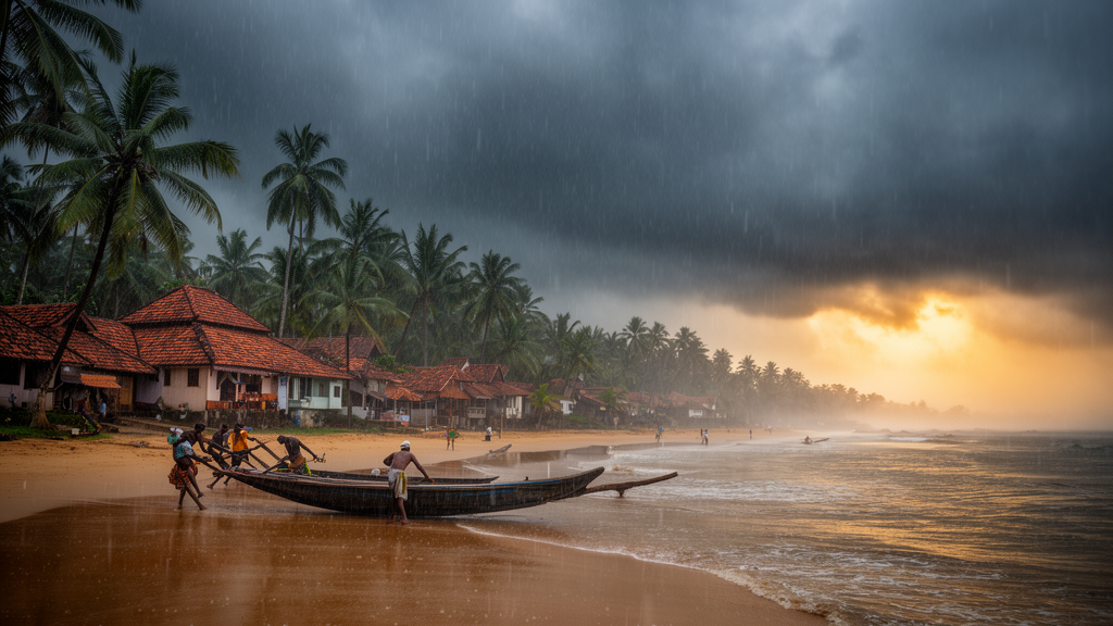
Every year, farmers, forecasters, and millions of residents along India’s southwestern coast wait for the moment the summer monsoon bursts over Kerala, the traditional gateway through which the season’s rains march across the subcontinent. But in the weeks before that dramatic arrival, Kerala has quietly been getting wetter. A new study published in Theoretical and Applied Climatology by Sruthi Shah Eapen of Kerala Agricultural University, together with Prasanth A. Pillai and Renu Subrata Das of the Indian Institute of Tropical Meteorology in Pune, documents a significant increasing trend in Kerala’s pre-monsoon rainfall over recent decades and traces it to a chain of mechanisms rooted in the warming North Indian Ocean. The work also reveals that the state’s March-to-May downpours are not merely a prelude to the monsoon; they actively shape how the monsoon itself begins.
The pre-monsoon season, spanning March, April, and May, has long been treated as a transitional period in Indian meteorology, a time of thunderstorms, heat, and scattered convective showers before the large-scale monsoon circulation locks in. The new analysis shows that this period over Kerala has undergone a meaningful shift. Rainfall during these months has been rising steadily in recent decades, and the increase is not a statistical fluke confined to a few stations. It reflects a large-scale reorganization of the atmosphere and ocean over the North Indian Ocean basin, driven by stronger warming of the sea surface during the pre-monsoon months.
The mechanism the researchers identify begins with the ocean itself. The North Indian Ocean, which encompasses the Arabian Sea and the Bay of Bengal, has been warming more strongly during the pre-monsoon season. That warming strengthens the westerly wind flow toward southern India, which in turn enhances moisture transport into the Arabian Sea, across South India, and into the Bay of Bengal. More moisture in the atmosphere means more fuel for rainfall, and the result is an increase in large-scale precipitation across the region. In effect, the warming ocean acts as an ever-larger reservoir of atmospheric water, and the winds are pumping that water over the subcontinent earlier in the year than before.
Superimposed on this warming background is a familiar player from the tropical Pacific: the El Niño–Southern Oscillation. The study finds that the strong pre-monsoon rainfall years over Kerala are associated with a La Niña pattern in the tropical Pacific, the cool phase of the oscillation that typically favors enhanced convection over the Indian sector. During these strong years, southwesterly flow over the Kerala region from the Arabian Sea intensifies, delivering additional moisture to the coast. Weak pre-monsoon years, by contrast, show El Niño anomalies in March and April, followed by weak La Niña cooling in May. The researchers interpret this as a transition phase, marked by feeble cross-equatorial flow and suppressed regional-scale activity, in which neither the ocean nor the atmosphere provides the conditions needed for abundant rain.
One of the most consequential findings concerns the character of the rainfall itself. In the strong pre-monsoon years, convective rainfall makes a major contribution to the seasonal total, and it does so through a greater number of active days. The number of extreme rainfall events also intensifies during these strong years. This matters because extremes, rather than the seasonal average, are what stress infrastructure, trigger landslides in the Western Ghats, and disrupt agriculture. The authors conclude that regional-scale changes are a major contributor to pre-monsoon rainfall and its increasing trend, meaning that local and basin-scale processes, not just remote climate drivers, are reshaping Kerala’s wet season before the wet season officially begins.
The second half of the study turns to the question that has occupied Indian meteorologists for more than a century: what determines the date on which the summer monsoon sets in over Kerala? The onset of the southwest monsoon is one of the most closely watched events in world weather, and its timing carries enormous economic weight for a nation where agriculture remains deeply rain-dependent. The researchers show that the state of the pre-monsoon season leaves a fingerprint on the onset evolution itself, through a subtle choreography of rainfall pauses, sea surface temperatures, and low-pressure systems.
During strong pre-monsoon years, the analysis reveals a striking pattern: the pre-monsoon rainfall shows a brief pause of five to six days just before the monsoon onset. That lull is not a sign of a failing monsoon but a functional part of the transition. During the pause, sea surface temperatures rise in the southern Bay of Bengal and the Arabian Sea, warming the ocean surface precisely where the incoming monsoon needs it. These strong years are then associated with the formation of low-pressure systems in both the Bay of Bengal and the Arabian Sea. The Bay of Bengal system moves toward southeastern India, while the Arabian Sea system moves toward northwestern India, and together they initiate organized convection and its characteristic northward propagation, the hallmark of the monsoon’s advance across the subcontinent.
Weak pre-monsoon years tell a very different story. In those years, a low-pressure system forms only in the Bay of Bengal, and instead of steering toward the Indian mainland, it recurves eastward toward Bangladesh. Without a second system in the Arabian Sea and without the pre-onset warming of both basins, the organized convection that drives a robust onset fails to assemble in the same way. The contrast between the two scenarios suggests that the pre-monsoon season functions as a kind of staging ground: the rainfall, winds, and ocean heat accumulated between March and May determine whether the monsoon arrives with a full complement of atmospheric ingredients or limps into gear with only part of the machinery in place.
The study draws on a comprehensive set of observational datasets, which lends weight to its conclusions. Rainfall comes from the India Meteorological Department’s daily gridded dataset and the Global Precipitation Climatology Project, sea surface temperatures from the Met Office Hadley Centre’s HadISST 1.1 analysis extending back to 1870, atmospheric fields from the ERA5 reanalysis produced by the Copernicus Climate Change Service, and daily outgoing longwave radiation from NOAA’s Climate Data Record as a proxy for deep convection. Tropical cyclone and low-pressure system tracks come from the India Meteorological Department’s Regional Specialized Meteorological Center for the North Indian Ocean. By combining these independent records, the authors were able to link rainfall trends, ocean warming, circulation changes, and system formation into a single coherent narrative.
The implications extend well beyond Kerala. For forecasters, the identification of a pre-onset rainfall pause and the dual low-pressure system signature in strong pre-monsoon years offers a potential diagnostic for anticipating how the monsoon onset will unfold. For planners in Kerala and neighboring states, the finding that extremes intensify in strong pre-monsoon years underscores the need to prepare for flooding and landslide risks earlier in the calendar than traditional monsoon preparedness assumes. And for climate scientists, the study adds a piece to the larger puzzle of how rapid Indian Ocean warming is rewriting the rhythms of the Asian monsoon system. As the North Indian Ocean continues to heat, the line between the pre-monsoon and the monsoon may grow increasingly blurred, with Kerala’s springtime storms serving as both a warning signal and a preview of the season to come.
Subject of Research: Mechanisms behind the recent increase in pre-monsoon rainfall over Kerala and its influence on Indian summer monsoon onset
Article Title: The recent increase in Kerala’s pre-monsoon rainfall: underlying mechanism and its impact on summer monsoon onset
Article References: Eapen, S. S., Pillai, P. A., & Das, R. S. (2026). The recent increase in Kerala’s pre-monsoon rainfall: underlying mechanism and its impact on summer monsoon onset. Theoretical and Applied Climatology, 157(9), Article 599. https://doi.org/10.1007/s00704-026-06529-9
Image Credits: AI Generated
DOI: 10.1007/s00704-026-06529-9
Keywords: Kerala, pre-monsoon rainfall, North Indian Ocean warming, monsoon onset, La Niña, El Niño, Arabian Sea, Bay of Bengal, sea surface temperature, extreme rainfall, Indian monsoon, climate change
Cite Scienmag News
Violet Maxwell. (October 10, 2026). Warming Indian Ocean Is Supercharging Kerala’s Rains Before the Monsoon. Scienmag. https://scienmag.com/warming-indian-ocean-is-supercharging-keralas-rains-before-the-monsoon/
Violet Maxwell. "Warming Indian Ocean Is Supercharging Kerala’s Rains Before the Monsoon." Scienmag, 10 October 2026, https://scienmag.com/warming-indian-ocean-is-supercharging-keralas-rains-before-the-monsoon/. Accessed 10 October 2026.
Violet Maxwell. "Warming Indian Ocean Is Supercharging Kerala’s Rains Before the Monsoon." Scienmag. October 10, 2026. https://scienmag.com/warming-indian-ocean-is-supercharging-keralas-rains-before-the-monsoon/


