


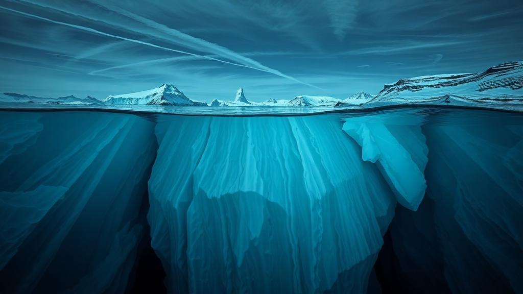
Beneath the ice of East Antarctica lies one of the most consequential pieces of real estate on the planet: the trough carved beneath the Denman Glacier, a fast-moving outlet of the East Antarctic Ice Sheet that channels ice from the deep interior toward the Shackleton Ice Shelf. New research published in The Cryosphere by Mareen Lösing of the University of Western Australia and colleagues has now redrawn the map of this hidden world, and the picture it paints is more rugged, more fragmented, and more worrying than anything currently found in the standard Antarctic bed atlases. The Denman Glacier is modeled to host the deepest continental marine trough in East Antarctica, and if it were to retreat irreversibly, it could ultimately raise global sea level by roughly 1.5 meters. Knowing the precise shape of the bed beneath it is therefore not an academic nicety; it is a first-order input into any credible forecast of future sea-level rise.
The problem that motivated the study is a familiar one in polar science: radar, the workhorse tool for measuring ice thickness, struggles in exactly the places where the answers matter most. Radio-echo sounding works beautifully over gentle, well-behaved beds, but the Denman Glacier Trough is deep, narrow, and steep-walled, roughly 20 kilometers wide and 110 kilometers long, and its flanks generate off-nadir echoes and layover that scramble the return signal. Crevasse fields near the grounding line scatter the pulse, warm or water-saturated basal sediments attenuate it, and beneath the floating ice shelf the ocean simply swallows the radar beam entirely. As a result, bed observations in the region are sparse and unevenly distributed, and the continent-scale compilations that most ice sheet models rely upon, BedMachine and the newer Bedmap3, must interpolate or extrapolate across large gaps. Interpolation smooths sharp relief and can bridge across steep troughs, underestimating both depth and the steepness of the sidewalls, while mass-conservation methods that fuse radar thickness with satellite velocities can recover deep troughs but remain highly non-unique where surface velocity gradients are small.
To break this impasse, the team turned to a completely independent physical signal: gravity. During the Australian Denman Terrestrial Campaign in the 2023/24 austral summer, the researchers hauled a Scintrex CG-5 Autograv gravimeter across the ice surface, collecting nine high-precision gravity measurements along a roughly 14-kilometer transect that crosses the deepest part of the trough, with stations spaced about 1.7 kilometers apart. Ground-based gravity has a crucial advantage over airborne surveys: because the instrument sits on the ice rather than flying kilometers above it, it retains the short-wavelength gravity signals that airborne data lose to mandatory filtering and upward continuation. The team tied their readings to the absolute gravity reference at Casey Station, corrected for instrument drift using repeated base measurements at Bunger Hills, and computed free-air anomalies on the WGS84 ellipsoid with careful solid-Earth tide and atmospheric-pressure corrections. These ground data were then merged with the extensive ICECAP airborne gravity, magnetic, and radar archive collected between 2008 and 2018.
The heart of the method is a two-scale, ensemble-based gravity inversion built on a Markov Chain Monte Carlo framework. Gravity inversion is notoriously non-unique, meaning an infinite family of density and depth combinations can reproduce the same measured anomaly, so the authors attacked the ambiguity head-on. First, they used sequential Gaussian simulation, a geostatistical technique, to generate an ensemble of plausible non-terrain gravity disturbances, the long-wavelength background signal produced by regional geology rather than by the bed itself. A smooth regional trend was fitted to locations with reliable radar-based topographic control, the residuals were characterized with a directional variogram, and hundreds of statistically realistic residual fields were simulated. Subtracting each of these from the isostatically corrected gravity disturbance yielded an ensemble of target terrain effects, one hundred for the regional inversion at 2-kilometer resolution and fifty for the high-resolution local inversion at 1-kilometer resolution focused on the trough.
Each terrain effect was then fed into a random-walk Metropolis-Hastings MCMC inversion. Starting from a BedMachine-based bed plus a smooth Gaussian perturbation, the algorithm repeatedly proposed small, spatially correlated Gaussian patches of bed change, recomputed the forward gravity response only where it mattered for efficiency, and accepted or rejected each proposal using a joint likelihood that weighs both the gravity misfit and the radar bed picks, with adopted uncertainties of 1.5 mGal for gravity and 30 meters for radar. By progressing from large update stencils to small ones, the multiscale scheme captured the long-wavelength geometry first and then layered on finer detail. The result is not a single map but an ensemble of bed realizations, each internally consistent with the data, together with a standard-deviation field that honestly quantifies where the bed is well constrained and where it remains contested. Ensemble spread is low, below about 200 meters, where radar and gravity jointly constrain the bed, and climbs above 900 meters along the steep, poorly imaged trough interior.
What the ensemble reveals is a fundamentally different landscape from the one in the standard products. Where BedMachine and Bedmap3 depict the Denman trunk as a single, continuous, elongated depression, the gravity-derived reconstruction shows a compartmentalized, rugged terrain: multiple localized depressions and pockets of varying depth, subdued ridges, and steeper trough walls with greater lateral relief than either compilation. Along cross-trough profiles near the grounding line, the best-fit gravity bed generally falls between the shallower Bedmap3 and the deeper BedMachine interpretations, yet consistently exhibits sharper, more sharply defined geometry than either. Perhaps most strikingly, the ensemble hints at a subdued bedrock high within the central trough that may partition it into two connected basins, and it traces a deep, trough-like channel continuing beneath the ice shelf, a feature resolved by neither BedMachine nor Bedmap3 because no radar data exist there. The best-fit gravity model reproduces the observed gravity field with a mean absolute error of 1.6 mGal and honors the radar picks to within about 100 meters across most of the domain.
The geology beneath the ice adds a second layer of insight. Using Euler deconvolution of reprocessed ICECAP magnetic data, the team estimated the depth to magnetic sources across the region. On the western flank of the trough, magnetic sources lie several kilometers deep, consistent with crystalline basement, while the eastern side shows subdued magnetic responses characteristic of sedimentary or metasedimentary units. A cluster of subvertically aligned magnetic-source solutions in the central profile suggests a steeply dipping fault zone, likely a lithological boundary separating the two terranes, lying within 1 to 2 kilometers of the previously proposed Scott Fault. The Denman Glacier Trough, the authors argue, appears to exploit this ancient structural weakness, echoing earlier work suggesting that a mechanically weak, potentially water-saturated sedimentary bed along the Knox Rift, a failed rift from the separation of India from East Gondwana with up to 6 to 7 kilometers of infill, helped focus ice flow into this corridor.
The dynamical implications are sobering. Because much of the Denman system is grounded below sea level, its stability hinges on bed geometry through the mechanism known as Marine Ice Sheet Instability. When a grounding line retreats onto a bed that slopes downward inland, the ice at the grounding line becomes thicker, the outflow flux increases nonlinearly with thickness, and retreat feeds on itself in a positive feedback loop. The gravity-derived geometry, with its steep flanks, retrograde inland-sloping basin, and strong asymmetry, reinforces the glacier’s susceptibility to this instability, although the authors are careful to note that geometry alone cannot prove instability is underway; pinning points such as along- and across-trough ridges could temporarily stabilize the grounding line by adding basal and lateral drag. The observed context is already unsettling: the glacier’s grounded portion has accelerated by 174 percent over the past five decades, and its grounding line has retreated more than 5 kilometers since 1996.
Beyond Denman itself, the study carries a broader message for Antarctic science. Ice sheet models are only as good as the bed maps beneath them, and the discrepancies between the gravity-constrained geometry and widely used compilations suggest that many current models may rely on overly smoothed bed representations, potentially underestimating grounding line sensitivity in fast-flowing outlet systems where modest bed changes translate into major dynamical consequences. The authors argue that geophysical inversion methods deserve a place alongside radar interpolation and mass conservation in future continental bed-mapping efforts, and their ensemble of bed realizations is immediately usable as boundary conditions for ice-flow modeling and grounding-line stability assessments. As the team points out, well-placed new constraints, whether longer ground gravity profiles, magnetotelluric soundings, or seismic data, would do more to sharpen the picture than modest noise reductions. For now, the hidden landscape beneath Denman Glacier stands revealed in sharper relief than ever before, and its steep, segmented, seaward-plunging geometry is a reminder that some of the biggest uncertainties in sea-level projections lie buried under kilometers of ice.
Subject of Research: Geostatistical gravity inversion of subglacial topography beneath the Denman Glacier, East Antarctica
Article Title: Gravity topography modeling of the Denman Glacier region using a geostatistical approach
Article References: Lösing, M., Aitken, A., Field, M., MacKie, E., & Li, L. (2026). Gravity topography modeling of the Denman Glacier region using a geostatistical approach. The Cryosphere, 20(10), 5629-5652. https://doi.org/10.5194/tc-20-5629-2026
Image Credits: AI Generated
Keywords: Denman Glacier, East Antarctica, subglacial topography, gravity inversion, Markov Chain Monte Carlo, radio-echo sounding, BedMachine, Bedmap3, Marine Ice Sheet Instability, sea-level rise, grounding line, geostatistics
Cite Scienmag News
Thomas Green. (October 8, 2026). Hidden Landscape Beneath Antarctica’s Denman Glacier Revealed by Gravity. Scienmag. https://scienmag.com/hidden-landscape-beneath-antarcticas-denman-glacier-revealed-by-gravity/
Thomas Green. "Hidden Landscape Beneath Antarctica’s Denman Glacier Revealed by Gravity." Scienmag, 8 October 2026, https://scienmag.com/hidden-landscape-beneath-antarcticas-denman-glacier-revealed-by-gravity/. Accessed 8 October 2026.
Thomas Green. "Hidden Landscape Beneath Antarctica’s Denman Glacier Revealed by Gravity." Scienmag. October 8, 2026. https://scienmag.com/hidden-landscape-beneath-antarcticas-denman-glacier-revealed-by-gravity/


