


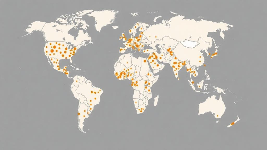
A sweeping new effort to chart where disease-carrying Aedes mosquitoes live across Kenya has produced the most comprehensive geocoded inventory of these insects ever assembled for the country. Drawing on everything from century-old government archives to modern digital biodiversity databases, researchers have compiled 1,802 time-site records covering 855 unique locations and documenting no fewer than 104 Aedes species. The work, published in the journal Parasites & Vectors, spans an astonishing 124 years of mosquito surveillance, from records dating back to 1901 through collections made in 2024. It arrives at a critical moment, as dengue and chikungunya viruses, both transmitted primarily by Aedes mosquitoes, are increasingly recognised as growing public health threats in Kenya and across sub-Saharan Africa.
The scale of the gap the new inventory fills is striking. Global repositories of Aedes species occurrences, the datasets that scientists and health agencies around the world rely upon to model disease risk, had documented fewer than 200 unique locations for Kenya. That sparse coverage meant the country’s true Aedes diversity and distribution were largely invisible to the international surveillance community. Without accurate maps of where the vectors live, health authorities cannot effectively target the interventions that remain their primary line of defence. With no licensed vaccines against dengue or chikungunya available for use in Africa, vector control is currently the mainstay of prevention, making precise knowledge of species distributions not an academic luxury but an operational necessity.
To build the inventory, the research team, led by Samuel K. Muchiri of the KEMRI-Wellcome Trust Research Programme and including collaborators from the Kenya Ministry of Health, the Université Libre de Bruxelles, KU Leuven and the University of Oxford, deployed three complementary data-gathering strategies. The first was a systematic review of peer-reviewed literature, university theses and conference abstracts, following established systematic review reporting standards. The second, and ultimately the most productive, involved the digitisation of unpublished archival reports held by the Ministry of Health’s Division of Insect-Borne and Vector-Borne Diseases, as well as regional and municipal councils across the country. The third approach cross-referenced two major international repositories: the Global Biodiversity Information Facility, known as GBIF, and the Walter Reed Biosystematics Unit’s VectorMap database.
The contribution of the archival material proved to be the study’s most remarkable finding. Unpublished reports from government files accounted for 51 percent of all records in the final inventory, while peer-reviewed scientific articles contributed 43 percent. In other words, more than half of what is now known about Kenya’s Aedes fauna existed only in paper files and institutional memory, inaccessible to global databases and invisible to anyone modelling arboviral risk from published sources alone. The result is a powerful demonstration of how much critical surveillance data lies dormant in national archives across Africa, and a template for how it might be recovered elsewhere on the continent.
Once gathered, the data were handled with considerable technical care. Each record was extracted using a standardised template, then de-duplicated to remove repeated observations of the same occurrence. Geocoding, the process of assigning precise geographic coordinates to each record, was performed using Global Positioning System coordinates where available, Google Earth imagery for locations identifiable from place names and landscape features, or census enumeration area shapefiles for records tied to administrative units. This rigorous spatial processing transformed heterogeneous historical data, collected with wildly different methods and levels of precision over more than a century, into a single consistent database suitable for modern spatial analysis and ecological modelling.
The taxonomic results carry direct public health significance. Aedes aegypti, the principal vector of both dengue and chikungunya viruses, emerged as the most widely documented species in the country, recorded at 522 unique locations. The inventory distinguishes between the domestic form Aedes aegypti aegypti, which thrives in human-made containers and feeds readily on people, and the ancestral form Aedes aegypti formosus, which breeds in natural forest habitats. Beyond the principal vector, the researchers documented eight possible secondary vectors with confirmed field detection of dengue virus, chikungunya virus, or both. Among these, Aedes mcintoshi, Aedes ochraceus and Aedes tricholabis were the most frequently recorded, species associated with floodwater habitats that have featured in past Kenyan outbreaks.
Geographically, the inventory reveals both concentration and absence. Records cluster heavily along Kenya’s coast and in the western regions of the country, areas with longer histories of entomological investigation and denser human populations. By contrast, the northern and northeastern regions of Kenya show striking surveillance gaps, vast arid and semi-arid territories where Aedes mosquitoes may well circulate but where sampling has been minimal or nonexistent. These blind spots matter. Kenya’s northern counties border countries where arboviral transmission occurs, and the region’s episodic flooding creates ideal conditions for floodwater Aedes species. The inventory does not merely map what is known; it explicitly exposes where ignorance remains greatest, giving surveillance planners a prioritised agenda.
The database’s value extends well into the technical future of disease control. A geocoded inventory of this depth provides the essential empirical foundation for ecological niche modelling, the statistical framework that uses known occurrence points together with environmental variables such as rainfall, temperature and vegetation to predict where a species could survive. Models built on fewer than 200 occurrence records, as previous global datasets offered for Kenya, produce predictions too uncertain to guide policy. With 855 unique locations spanning 124 years, modellers can now capture seasonal and long-term variation, validate predictions against historical outbreaks, and generate sub-national risk maps precise enough to direct larval source management, insecticide-treated strategies and community-based container reduction programmes to the specific counties where they will have the greatest impact.
The timing of this work aligns with a broader global reckoning over arboviruses. The World Health Organization has elevated dengue and chikungunya among its priority concerns through initiatives such as the Global Arbovirus Initiative, as urbanisation, climate change and expanding mosquito ranges push transmission into new territories. Kenya has experienced documented dengue and chikungunya outbreaks in recent decades, particularly in coastal cities, and the viruses’ expanding footprint across East Africa makes national-level vector intelligence increasingly urgent. An inventory that integrates a century of evidence positions Kenya among a small number of African nations with the data infrastructure to anticipate, rather than merely react to, arboviral emergence.
Perhaps the study’s most transferable lesson is methodological. The researchers showed that a national inventory built from published literature alone would have captured less than half the available knowledge, and that digitising government archives, theses and conference abstracts can more than double the evidentiary base. The work was supported by the Wellcome Trust, including a Principal Research Fellowship and the Kenya Major Overseas Programme, alongside Belgian and European research funding, and the resulting database is offered as an open resource under a Creative Commons licence. For other countries confronting Aedes-borne disease with fragmentary surveillance records, the Kenyan model, systematic review plus archival rescue plus digital cross-referencing, offers a proven and comparatively low-cost pathway to the spatial evidence that modern vector control demands. The mosquitoes have been quietly mapping themselves across Kenya for more than a century; now, at last, science has caught up.
Subject of Research: A national geocoded inventory of Aedes mosquito species distributions in Kenya spanning 124 years of published, archival and digital surveillance data
Article Title: A national geocoded inventory of Aedes mosquitoes in Kenya: integrating published, archival, and digital sources across 124 years
Article References: Muchiri, S. K., Mwangi, L. W., Oloo, J., Omondi, W., Okiro, E. A., Rono, M. K., Dellicour, S., & Snow, R. W. (2026). A national geocoded inventory of Aedes mosquitoes in Kenya: integrating published, archival, and digital sources across 124 years. Parasites & Vectors. https://doi.org/10.1186/s13071-026-07638-0
Image Credits: AI Generated
DOI: 10.1186/s13071-026-07638-0
Keywords: Aedes aegypti, dengue, chikungunya, Kenya, mosquito surveillance, vector control, geocoding, ecological niche modelling, archival data, public health, arboviruses, Parasites & Vectors
Cite Scienmag News
Gavin Prescott. (October 7, 2026). Kenya’s Aedes Mosquitoes Mapped Across 124 Years in Landmark National Inventory. Scienmag. https://scienmag.com/kenyas-aedes-mosquitoes-mapped-across-124-years-in-landmark-national-inventory/
Gavin Prescott. "Kenya’s Aedes Mosquitoes Mapped Across 124 Years in Landmark National Inventory." Scienmag, 7 October 2026, https://scienmag.com/kenyas-aedes-mosquitoes-mapped-across-124-years-in-landmark-national-inventory/. Accessed 7 October 2026.
Gavin Prescott. "Kenya’s Aedes Mosquitoes Mapped Across 124 Years in Landmark National Inventory." Scienmag. October 7, 2026. https://scienmag.com/kenyas-aedes-mosquitoes-mapped-across-124-years-in-landmark-national-inventory/


